
 65

$1,695,000
3 bd · 5 ba · 3,178 sqft
1 Wicklow Ct, Wayne, PA
Brian Busby · EXP Realty, LLC

No listing photos
4
Beds
4
Baths
5,224
Sqft
1955
Year built
Range $1,971,093 – $2,440,251 · as of October 21, 2026
ATTOM automated valuation model · 55 published estimates over 6.8 years · shaded band is the model's own published low-to-high range
Highest reading $2,946,845 in July 2025; lowest $558,185 in March 2020. The vertical scale starts at the series' own low, not at zero — it is drawn to show movement, not absolute size.
$441,134
Estimated monthly payment
$14,092/mo
Loan amount $1,764,538. Estimate only — your actual rate and payment depend on credit, location, and lender.
2026 roll
School ratings (A+ to F) from HJN community data.
Ysc Academy
7-12 · Special Program Emphasis
96 students · 10.7:1 student–teacher
Woodlynde School
KG-12 · Special Education
230 students · 5.5:1 student–teacher
Armenian Sisters Academy
PK-8 · Montessori
95 students · 6.7:1 student–teacher
Heritage School
PK-KG · Early Childhood Program/Child Care Center
13 students · 7.2:1 student–teacher
Roberts Elementary School
KG-4 · Regular · Upper Merion Area School District
292 students · 12.8:1 student–teacher
New Eagle Elementary School
KG-4 · Regular · Tredyffrin-Easttown School District
472 students · 13.4:1 student–teacher
Goddard School
PK-KG · Early Childhood Program/Child Care Center
10 students · 10.0:1 student–teacher
Valley Forge Military Academy
7-12 · Regular
159 students · 9.8:1 student–teacher
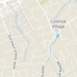
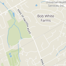
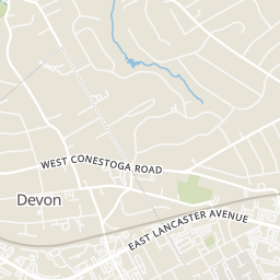
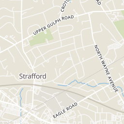
Within 2 miles of this home: 39+ restaurants and cafés, 8 grocery stores, 26 parks and green spaces, and 9 transit stops.
Place data from OpenStreetMap.
Starbucks
Town Square Place
Duck Donuts
Main Street
Kooma
Main Street
Choolaah
Indian restaurant · Main Street
Fogo de Chão
Main Street
First Bake Cafe
Main Street
Founding Farmers
Main Street
Pizzeria Vetri
Main Street
Walmart Supercenter
North Gulph Road
Wegmans
Village Drive
Whole Foods Market
Lancaster Avenue
Lancaster County Farmers' Market
West Lancaster Avenue
Di Bruno Bros
Acme
West Lancaster Avenue
Eataly
Trader Joe's
East Swedesford Road
Strafford Park & Library
Mazie B. Hall Park
Whitegate Park
McKaig Nature Education Center
Croton Road
McKaig Nature Preserve
Merryvale
Bob White Park
Westover Park
Strafford
King of Prussia Park and Ride
Eagle
Wayne
King of Prussia Transit Center
Devon
Mall Boulevard
Allendale Road
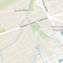
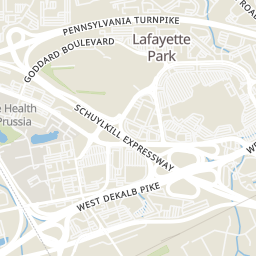
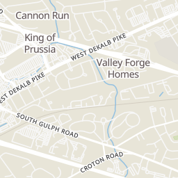
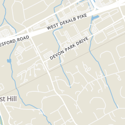
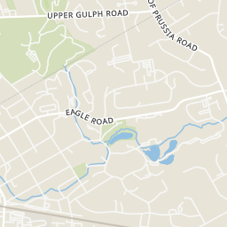
Rings at ½ mile and 1 mile. Basemap © OpenMapTiles © OpenStreetMap contributors.
4 license-plate readers mapped within 1 mile of this home, one of them identified as a Flock Safety device. None within ½ mile. Nearest: 0.7 mi north.
| Device type | Within ½ mi | Within 1 mi |
|---|---|---|
| License-plate readers | 0 | 4 |
| of which Flock Safety | 0 | 1 |
Community-reported via OpenStreetMap; may be incomplete. Data as of . © OpenStreetMap contributors (ODbL)
License-plate readers (ALPR) are fixed cameras that photograph passing vehicles and read their plates. Records are typically shared with the agency or association that operates the camera.
Flock Safety is a company whose plate-reader cameras are used by police departments, cities, HOAs and businesses. Its devices are usually solar-powered and pole-mounted.
Bright MLSSome properties which appear for sale on this web site may subsequently have sold or may no longer be available.
