Price Reduced28
$199,999
2 bd · 1 ba · 1,059 sqft
24 Deer Run Ct #606, Baltimore, MD


No listing photos
—
Beds
1
Baths
1,024
Sqft
1956
Year built
Range $214,529 – $336,149 · as of August 30, 2026
ATTOM automated valuation model · 54 published estimates over 6.7 years · shaded band is the model's own published low-to-high range
Highest reading $277,133 in July 2026; lowest $132,698 in January 2020. The vertical scale starts at the series' own low, not at zero — it is drawn to show movement, not absolute size.
$55,068
Estimated monthly payment
$1,870/mo
Loan amount $220,271. Estimate only — your actual rate and payment depend on credit, location, and lender.
2025 roll
School ratings (A+ to F) from HJN community data.
Baltimore Highlands Elementary School
PK-5 · Regular · Baltimore County Public Schools
461 students · 14.6:1 student–teacher
Riverview Elementary School
PK-5 · Regular · Baltimore County Public Schools
552 students · 14.8:1 student–teacher
Lansdowne High School
9-12 · Regular · Baltimore County Public Schools
1,313 students · 14.6:1 student–teacher
Belle Grove Elementary School
PK-5 · Regular · Anne Arundel County Public Schools
305 students · 9.6:1 student–teacher
Sisters Academy of Baltimore
5-8 · Regular
67 students · 5.9:1 student–teacher
Lansdowne Middle School
6-8 · Regular · Baltimore County Public Schools
661 students · 13.0:1 student–teacher
Overlook Elementary School
PK-5 · Regular · Anne Arundel County Public Schools
249 students · 10.4:1 student–teacher
Lansdowne Elementary School
EE-5 · Regular · Baltimore County Public Schools
603 students · 14.2:1 student–teacher
Some properties which appear for sale on this web site may subsequently have sold or may no longer be available.
Nicholas W Bogardus · Compass
 Bright MLS
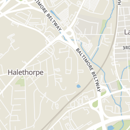
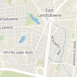
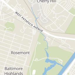
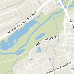
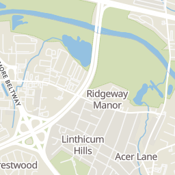
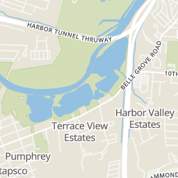
Rings at ½ mile and 1 mile. Basemap © OpenMapTiles © OpenStreetMap contributors.
Open the Halethorpe camera map2 license-plate readers mapped within 1 mile of this home, both identified as Flock Safety devices. None within ½ mile. Nearest: 0.8 mi south. Operator named in the data: anne arundel police department.
| Device type | Within ½ mi | Within 1 mi |
|---|---|---|
| License-plate readers | 0 | 2 |
| of which Flock Safety | 0 | 2 |
Community-reported via OpenStreetMap; may be incomplete. Data as of . © OpenStreetMap contributors (ODbL)
License-plate readers (ALPR) are fixed cameras that photograph passing vehicles and read their plates. Records are typically shared with the agency or association that operates the camera.
Flock Safety is a company whose plate-reader cameras are used by police departments, cities, HOAs and businesses. Its devices are usually solar-powered and pole-mounted.
Within 2 miles of this home: 33+ restaurants and cafés, 4 grocery stores, 20 parks and green spaces, and 34+ transit stops.
Place data from OpenStreetMap.
KFC
Nursery Road
Dunkin
Nursery Road
Hardee's
Nursery Road
McDonald's
Nursery Road
Taco Bell
Raynor Avenue
Checkers
Baltimore Annapolis Boulevard
Burger King
West Patapsco Avenue
Bay Leaf
Indian restaurant · Nursery Road
Dollar General Market
West Patapsco Avenue
LA Mart International Food
West Patapsco Avenue
Walmart Supercenter
Washington Boulevard
Save-A-Lot
Ritchie Highway
Hickory Hills Park
Sandy Hills Park
Baltimore Highlands Annex
Unger's Field Playground at Northeast Highlands Park
Northeast Highlands Park
Southwest Area Park
Pumphrey Park
Patapsco Valley State Park Belle Grove Area
Annapolis Road & Adell Plastics Southbound
Annapolis Road & Virginia Avenue Far-side Southbound
Virginia Avenue & Annapolis Road Mid-block Eastbound
Virginia Avenue & Annapolis Road Far-side Westbound
Virginia Avenue & Scotia Road Opposite Westbound
Virginia Avenue & Walnut Road Eastbound
Virginia Avenue & McDowell Lane
Virginia Avenue & McDowell Lane Southbound