
License-plate readers and surveillance cameras in Baltimore, MD
228 surveillance devices are mapped inside Baltimore, MD: 43 license-plate readers, 115 CCTV cameras, 4 gunshot detectors, and 66 speed cameras. 15 of them are identified as Flock Safety devices.
Updated
- Mapped devices
- 228
- License-plate readers
- 43
- of which Flock Safety
- 15
- CCTV cameras
- 115
- Gunshot detectors
- 4
- Speed cameras
- 66
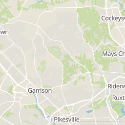
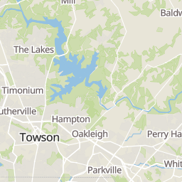
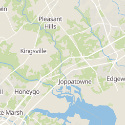
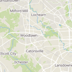
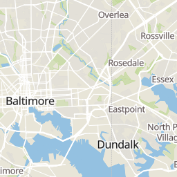
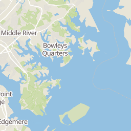
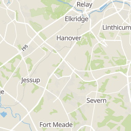
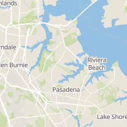
- Baltimore boundary
- Flock Safety reader
- Other plate reader
- CCTV camera
- Gunshot detector
- Speed camera
Each dot groups the devices mapped close together, coloured by the most common type; larger dots hold more. Basemap © OpenMapTiles © OpenStreetMap contributors.
Who operates the license-plate readers and cameras in Baltimore
The data names an operator for 20 of the 228 devices. The most frequent:
| Operator (as recorded) | Devices |
|---|---|
| Johns Hopkins University | 6 |
| Maryland Transportation Authority | 6 |
| Baltimore Police Department | 3 |
| The Home Depot | 3 |
| Baltimore City Department of Transportation | 1 |
1 other operator is named for fewer devices.
Flock Safety makes many of these devices but is not listed as an operator: a device is run by the agency, association or business that installed it.
About the license-plate readers and cameras in Baltimore
License-plate readers (ALPR) are fixed cameras that photograph passing vehicles and read their plates. Records are typically shared with the agency or association that operates the camera.
Flock Safety is a company whose plate-reader cameras are used by police departments, cities, HOAs and businesses. Its devices are usually solar-powered and pole-mounted.
CCTV cameras are fixed video cameras that record a street, building or other area.
Gunshot detectors are acoustic sensors that listen for gunfire and report its estimated location.
Speed cameras photograph vehicles over the speed limit for automated tickets.
License-plate readers and cameras in Baltimore by ZIP code
Every mapped device inside Baltimore, counted by the ZIP code it sits in. ZIP codes are listed in number order. Each linked ZIP opens the homes for sale there.
ZIP areas are the Census Bureau's ZIP Code Tabulation Areas, which can differ a little from postal routes.
- 212014 devices
- 212029 devices
- 212054 devices
- 212065 devices
- 212092 devices
- 2121014 devices
- 2121117 devices
- 212123 devices
- 212135 devices
- 212144 devices
- 2121564 devices
- 212166 devices
- 212173 devices
- 2121834 devices
- 212232 devices
- 2122415 devices
- 212271 device
- 212295 devices
- 2123016 devices
- 2123110 devices
- 212393 devices
- 212501 device
- 212511 device
Questions about license-plate readers in Baltimore
Does Baltimore have license-plate readers?
Yes. 43 of the 228 surveillance devices mapped inside Baltimore, MD are license-plate readers.
Are there Flock cameras in Baltimore?
Yes. 15 of the 228 mapped devices are identified as Flock Safety devices. The other 28 license-plate readers are not identified as Flock devices in the data.
Where are the license-plate readers in Baltimore?
The map on this page shows every mapped device in Baltimore, grouped where they sit close together. The ZIP code list on this page gives the count for each ZIP code. To see each device on its own, turn on the cameras layer on the Baltimore map.
Are there license-plate readers near me in Baltimore?
Every home for sale in Baltimore has a page that lists the devices mapped within a mile of it, when there are any. You can also open the Baltimore map with the cameras layer on and zoom in to your street.
Who runs the license-plate readers in Baltimore?
The data names an operator for 20 of the 228 devices. Flock Safety makes many of these devices, but each one is run by the agency, association or business that installed it.
How up to date is this?
These counts come from OpenStreetMap, where volunteers map devices. They were last updated Nov 21, 2026. A device missing here may still exist.
Community-reported via OpenStreetMap; may be incomplete. Counted inside the Baltimore boundary in our place data, which can differ from the city limits. Updated . © OpenStreetMap contributors (ODbL)