39

$899,000
5 bd · 3 ba · 6,648 sqft
17W210 Massel Court, Bensenville, IL
Lisa Zeller-O'Malley · Coldwell Banker Realty
$130/sqft · 227 days on Realty
7,675
Building
14,216 sqft
Lot
1972
Built
FOR INVESTORS OR OWNER/USER 12-UNIT 7,675 SF OFFICE BUILDING, CORNER LOCATION WITH TRAFFIC SIGNAL. LOW MAINTENANCE BUILDING. SEPARATE ELECTRIC METERS AND HVAC UNITS. BUILDING WAS BUILT WITH (12) 600 SF UNITS, EACH WITH PRIVATE RESTROOMS - 12 RESTROOMS TOTAL! BUILDING IS BEING USED FOR OFFICE, AND CAN BE CONVERTED TO OFFICE CONDO. 7 Units are rented now with 5 being vacant. Some units were used by the owner before. A Spread Sheet is attached in Additional Information. It contains actual 2024 property taxes and 2025 expenses and Performa rent $1000/unit as per the current market rates.
Listing agent
Madan Khatri
Courtesy of Berkshire Hathaway HomeServices American Heritage
(847) 530-1550
Midwest Real Estate Data (MRED) · Listing MRD12494801
2025 roll
Midwest Real Estate Data (MRED)This content last refreshed on 2026-11-19 01:48:46 UTC. Some properties which appear for sale on this web site may subsequently have sold or may no longer be available.
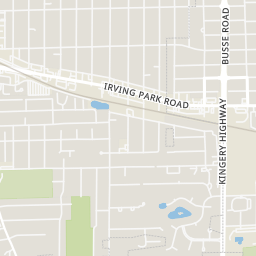
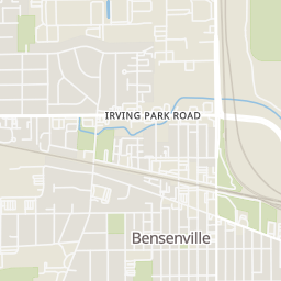
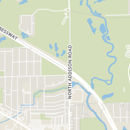
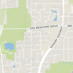
Within 2 miles of this home: 21 restaurants and cafés, 2 grocery stores, 21 parks and green spaces, and 18 transit stops.
Place data from OpenStreetMap.
Gina's
Hodge Podge Lodge
China Chef
Chinese restaurant
Francescos Bros. Pizzeria
Taquera El Sol Del Pueblo
Irving Park Road
Dunkin
Irving Park Road
Popeyes
West Irving Park Road
Jimmy John's
Irving Park Road
Jewel-Osco
Irving Park Road
KD Fresh Market
Georgetown Square
Mohawk Park
Veterans Park
Deer Park
Sunset Park
Central Park
Breiter-Palm Park
Diorio Park
White Oak Park
Wood Dale
Bensenville
Bensenville Metra Station
York & Irving Park
Irving Park & York
Green & York
York & Memorial
Green & Lincoln
Rings at ½ mile and 1 mile. Basemap © OpenMapTiles © OpenStreetMap contributors.
Open the Bensenville camera map12 devices mapped within ½ mile of this home's approximate location: 11 license-plate readers and 1 CCTV camera; 11 of them identified as Flock Safety devices. Operators named in the data: Wood Dale Police Department, Fenton High School, Bensenville Police Department, and 1 other.
| Device type | Within ½ mi | Within 1 mi |
|---|---|---|
| License-plate readers | 11 | 22 |
| of which Flock Safety | 11 | 22 |
| CCTV cameras | 1 | 3 |
Community-reported via OpenStreetMap; may be incomplete. Data as of . © OpenStreetMap contributors (ODbL)
License-plate readers (ALPR) are fixed cameras that photograph passing vehicles and read their plates. Records are typically shared with the agency or association that operates the camera.
Flock Safety is a company whose plate-reader cameras are used by police departments, cities, HOAs and businesses. Its devices are usually solar-powered and pole-mounted.
CCTV cameras are fixed video cameras that record a street, building or other area.