 37

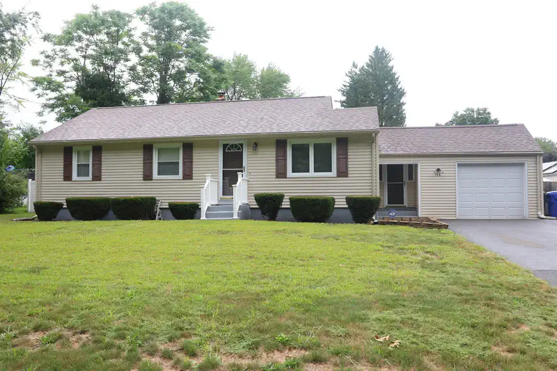
$339,900
3 bd · 2 ba · 1,080 sqft
106 N Brook Rd, Springfield, MA
V. Van Johnson III · 1911 F.T.C. Real Estate LLC


No listing photos
1
Beds
1
Baths
576
Sqft
1952
Year built
Range $165,260 – $186,516 · as of August 30, 2026
ATTOM automated valuation model · 54 published estimates over 6.7 years · shaded band is the model's own published low-to-high range
Highest reading $224,921 in November 2023; lowest $101,987 in April 2020. The vertical scale starts at the series' own low, not at zero — it is drawn to show movement, not absolute size.
$35,178
Estimated monthly payment
$1,252/mo
Loan amount $140,710. Estimate only — your actual rate and payment depend on credit, location, and lender.
2025 roll
School ratings (A+ to F) from HJN community data.
Thomas M Balliet
PK-5 · Regular · Springfield School District
291 students · 13.6:1 student–teacher
Balliet Preschool
PK-PK · Regular · Springfield School District
99 students · 8.8:1 student–teacher
Hiram L Dorman
PK-5 · Regular · Springfield School District
279 students · 13.6:1 student–teacher
Mary M Lynch
PK-5 · Regular · Springfield School District
216 students · 11.4:1 student–teacher
Baystate Academy Charter Public School
6-12 · Regular · Baystate Academy Charter Public School
388 students · 6.7:1 student–teacher
Springfield Preparatory Charter School
KG-8 · Regular · Springfield Preparatory Charter School
486 students · 11.3:1 student–teacher
Springfield Central High School
9-12 · Regular · Springfield School District
1,983 students · 12.2:1 student–teacher
John F Kennedy Middle School
6-8 · Regular · Springfield School District
366 students · 9.3:1 student–teacher
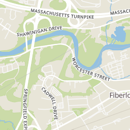
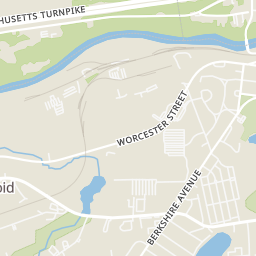
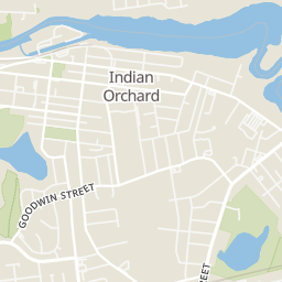
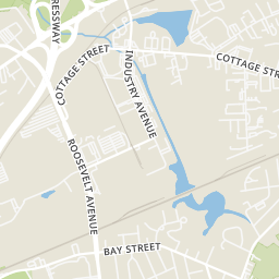
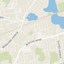
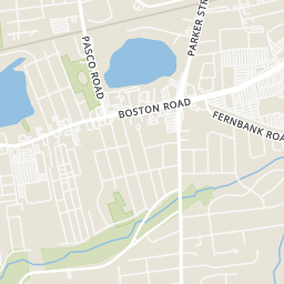
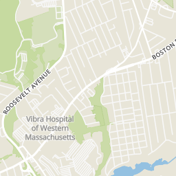
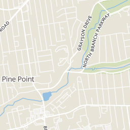
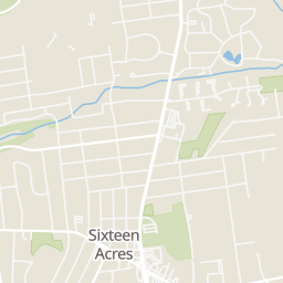
Rings at ½ mile and 1 mile. Basemap © OpenMapTiles © OpenStreetMap contributors.
Open the Springfield camera map1 license-plate reader mapped within 1 mile of this home. None within ½ mile. Nearest: 0.9 mi east. Operator named in the data: Springfield Police.
| Device type | Within ½ mi | Within 1 mi |
|---|---|---|
| License-plate readers | 0 | 1 |
Community-reported via OpenStreetMap; may be incomplete. Data as of . © OpenStreetMap contributors (ODbL)
License-plate readers (ALPR) are fixed cameras that photograph passing vehicles and read their plates. Records are typically shared with the agency or association that operates the camera.
Within 2 miles of this home: 13 restaurants and cafés, 5 grocery stores, 36+ parks and green spaces, and 32+ transit stops.
Place data from OpenStreetMap.
Burger King
Boston Road
McDonald's
Boston Road
Sonic
Boston Road
Dunkin
Cottage Street
Denny's
American restaurant · Boston Road
Paddys
Wilbraham Road
Boston Road Pizza
Boston Road
Best Pizza
Pasco Road
Price Rite
5 Star Supermarket
Boston Road
Walmart Supercenter
Boston Road
Aldi
Boston Road
Stop & Shop
Boston Road
Morriss Park
White Cedar Bog
Hutchinson Bog
Edgemere Road Swamp
Mona Lake
Grayson Kettle
Five Mile Pond Park
Lake Lorraine State Park
BERKSHIRE / DEWEY
BERKSHIRE / ELIZABETH
BOSTON / ARNOLD
BOSTON / STUART
BOSTON / LAWNWOOD
BERKSHIRE / RUSH
BERKSHIRE / HARVEY
BOSTON / MORTON
MLS Property Information Network (MLS PIN)Some properties which appear for sale on this web site may subsequently have sold or may no longer be available.
37$339,900
3 bd · 2 ba · 1,080 sqft
106 N Brook Rd, Springfield, MA
V. Van Johnson III · 1911 F.T.C. Real Estate LLC
 12
$104,900
2 bd · 1 ba · 540 sqft
16 Pioneer Way, Springfield, MA
Juan Cruzado · Media Realty Group Inc.
 28
$270,000
4 bd · 2 ba · 1,144 sqft
274 Gilbert Ave, Springfield, MA
The Colondres Group · Lock and Key Realty Inc.
 23
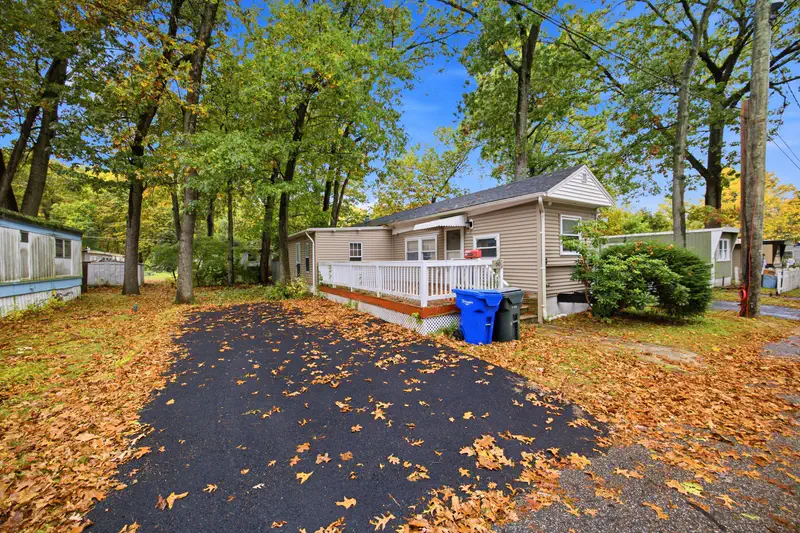
$90,000
2 bd · 1 ba · 700 sqft
80 Better Way, Springfield, MA
Zoe Czaplicki · Landmark, REALTORS®
 Price Reduced36
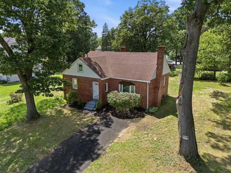
$299,900
4 bd · 1 ba · 1,648 sqft
78 Wollaston St, Springfield, MA
Teamwork Realty Group · Teamwork Realty Group, LLC
 Price Reduced35
$319,900
4 bd · 2 ba · 1,104 sqft
42 N Brook Rd, Springfield, MA
The Neilsen Team · The Neilsen Team