13

$101,200
3 bd · 1 ba · 1,091 sqft
2111 N Newton Avenue, Springfield, MO
Tammye Oldham · Murney Associates - Primrose

40 days on Realty
—
Building
13,939.2 sqft
Lot
—
Built
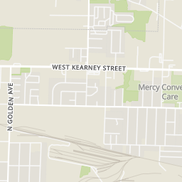
Ready to develop corner lot with 120' of Kearney frontage. Prior building has been fully removed offering new ownership a blank canvas. Flexible GC Zoning Ordinance creates a variety of opportunities on what the lot can be used for. Curb cut on Kearney, Douglas and alley access. Utilities are available. No flood zone or sinkholes. Quick access to I-44. (2025) Average Annual Daily Traffic : 17,106
Listing agent
Mike Taras
Courtesy of The Firm Commercial LLC
(417) 824-5428
Southern Missouri Regional MLS · Listing SOM60334594
2026 roll
Southern Missouri Regional MLSThis content last refreshed on 2026-11-01 15:53:16 UTC. Some properties which appear for sale on this web site may subsequently have sold or may no longer be available.
13$101,200
3 bd · 1 ba · 1,091 sqft
2111 N Newton Avenue, Springfield, MO
Tammye Oldham · Murney Associates - Primrose
 28
$114,900
2 bd · 1 ba · 728 sqft
1925 W Atlantic Street, Springfield, MO
Cloud Real Estate Group · Keller Williams Local
 9
$75,000
2 bd · 1 ba · 780 sqft
2239 N Kansas Avenue, Springfield, MO
Dixie Petiford · Cantrell Real Estate
 19
$99,900
3 bd · 1 ba · 1,189 sqft
2837 N Grant Avenue, Springfield, MO
Nathaniel Kaufmann · Keller Williams Realty Elevate
 13
$123,500
2 bd · 1 ba · 783 sqft
3836 W San Fernando, Springfield, MO
Kimberly A Jones · ReeceNichols - Springfield
 26
$85,000
3 bd · 2 ba · 0 sqft
2038 N Franklin Avenue, Springfield, MO
Laura Daly · Murney Associates - Primrose
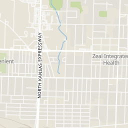
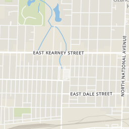
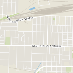
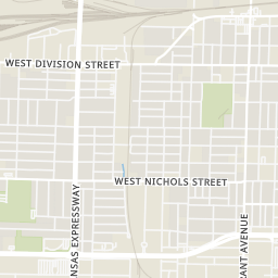
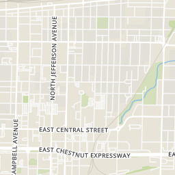
Rings at ½ mile and 1 mile. Basemap © OpenMapTiles © OpenStreetMap contributors.
Open the Springfield camera map1 license-plate reader mapped within ½ mile of this home, identified as a Flock Safety device. Nearest: 0.1 mi east.
| Device type | Within ½ mi | Within 1 mi |
|---|---|---|
| License-plate readers | 1 | 3 |
| of which Flock Safety | 1 | 3 |
Community-reported via OpenStreetMap; may be incomplete. Data as of . © OpenStreetMap contributors (ODbL)
License-plate readers (ALPR) are fixed cameras that photograph passing vehicles and read their plates. Records are typically shared with the agency or association that operates the camera.
Flock Safety is a company whose plate-reader cameras are used by police departments, cities, HOAs and businesses. Its devices are usually solar-powered and pole-mounted.
Within 2 miles of this home: 39+ restaurants and cafés, 4 grocery stores, 16 parks and green spaces, and 1 transit stop.
Place data from OpenStreetMap.
KFC
West Kearney Street
Burger King
West Kearney Street
McDonald's
West Kearney
Popeyes
West Kearney Street
Mexican Villa's El Taco
Wendy's
West Kearney Street
Little Caesars
Kearney Street Cafe
Price Cutter Plus
Price Cutter
West Commercial Street
Walmart Supercenter
North Kansas Expressway
ALDI
East Kearney
Doling Park
Lafayette Park
Ozarks Empire Fairgrounds
N Grant Ave
Dickerson Park Zoo
West Norton Road
Tom Watkins Park
Grant Beach Park
Washington Park
East Pacific Community Garden
East Pacific Street
CU Bus Stop