Price Reduced35

$229,900
3 bd · 2 ba · 1,744 sqft
19 Suffolk St, Springfield, MA
Armando Olivares · Five Stars Realty LLC
$571/sqft · 576 days on Realty
420
Building
14,767 sqft
Lot
1989
Built
Redevelopment Opportunity at 671 State Street, Springfield, MA.Discover this prime commercial property in Springfield's revitalizing corridor. This 0.34-acre corner lot offers exceptional visibility and traffic counts, with Business 1 zoning that permits mixed-use, retail, and office developments.Featuring existing building space, this site combines immediate utility with long-term development potential. Its strategic location provides excellent access to downtown Springfield, I-291, I-91, and public transit, surrounded by businesses and neighborhoods.Notable nearby landmarks include Springfield Technical Community College, MGM Springfield, and Union Station.This is a rare opportunity for investors, developers, or entrepreneurs to reimagine a key property in a growing area.
Listing agent
Zaisha Robert
Courtesy of SR Commercial Realty
(413) 557-4846
MLS Property Information Network (MLS PIN) · Listing 73362493
2026 roll
MLS Property Information Network (MLS PIN)This content last refreshed on 2026-11-19 19:27:43 UTC. Some properties which appear for sale on this web site may subsequently have sold or may no longer be available.
Price Reduced35$229,900
3 bd · 2 ba · 1,744 sqft
19 Suffolk St, Springfield, MA
Armando Olivares · Five Stars Realty LLC
 Price Reduced24
$289,999
3 bd · 1 ba · 1,008 sqft
52 Navajo Rd, Springfield, MA
Nicholas Blais · Lock and Key Realty Inc.
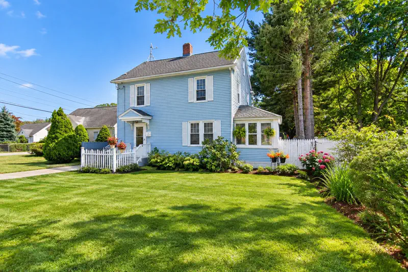 Price Reduced38
$299,000
3 bd · 2 ba · 1,400 sqft
1245 Bay St, Springfield, MA
Chester Ardolino · Berkshire Hathaway HomeServices Realty Professionals
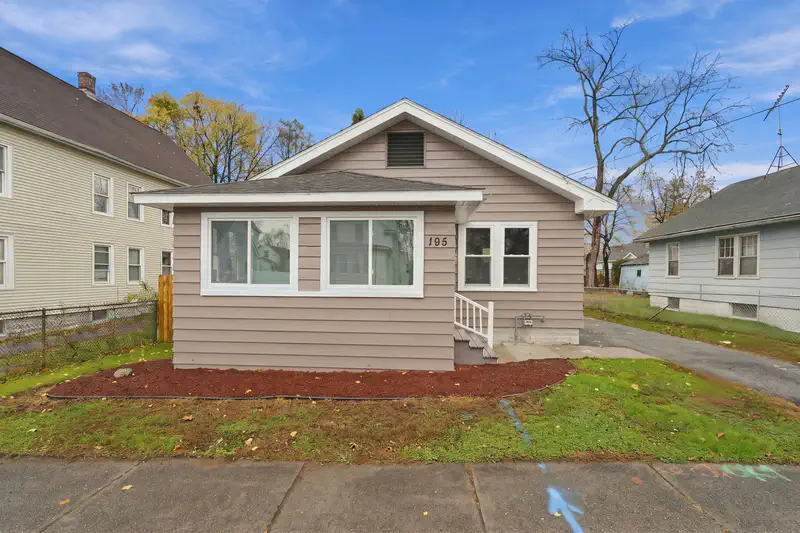 31
$259,000
3 bd · 1 ba · 902 sqft
195 Jasper St, Springfield, MA
Waylynn Garcia · Executive Real Estate, Inc.
 15
$250,000
3 bd · 2 ba · 1,417 sqft
1448 State St, Springfield, MA
Stephen Byrne · First Place Realty
 31
$299,900
3 bd · 1 ba · 914 sqft
91 Elijah St, Springfield, MA
Allison Cavanaugh Team · William Raveis R.E. & Home Services
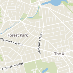
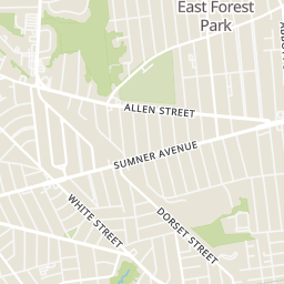
Rings at ½ mile and 1 mile. Basemap © OpenMapTiles © OpenStreetMap contributors.
Open the Springfield camera map3 license-plate readers mapped within ½ mile of this home, all identified as Flock Safety devices. Nearest: 0.2 mi west. Operator named in the data: Springfield Police.
| Device type | Within ½ mi | Within 1 mi |
|---|---|---|
| License-plate readers | 3 | 16 |
| of which Flock Safety | 3 | 16 |
| CCTV cameras | 0 | 1 |
Community-reported via OpenStreetMap; may be incomplete. Data as of . © OpenStreetMap contributors (ODbL)
License-plate readers (ALPR) are fixed cameras that photograph passing vehicles and read their plates. Records are typically shared with the agency or association that operates the camera.
Flock Safety is a company whose plate-reader cameras are used by police departments, cities, HOAs and businesses. Its devices are usually solar-powered and pole-mounted.
CCTV cameras are fixed video cameras that record a street, building or other area.
Within 2 miles of this home: 35+ restaurants and cafés, 9 grocery stores, 40+ parks and green spaces, and 28+ transit stops.
Place data from OpenStreetMap.
McDonald's
State Street
Monsoon Roastery
Rocka Docka Foods
Blake House Cafe
Edwards Street
Raíces Restaurant
Spanish restaurant · Main Street
Red Rose Pizzeria
Italian restaurant · Main Street
Wahlburgers
Main Street
The Chandler Steakhouse
America's Fodd Basket
State Street
Dollar Plus Value Discount
State Street
Happy Man Freeze Dried
The Urban Food Brood
Albany Street
Urban Artisan Farm
Save-A-Lot
Food Zone
Belmont Avenue
Big Y
Saint James Avenue
Westminster Street Children’s Park
Magazine Playground
Federal Square
Barrows Playgound
Pendleton Ave. Park
Thompson Triangle
Kibbe Triangle
Armory Square
STATE/THOMPSON
STATE/HANCOCK
HANCOCK / STATE
STATE / PLEASANT
State/Stebbins
BAY / PLEASANT
Mason Square (Inbound)
Mason Square