This content last refreshed on 2026-10-24 07:35:27 UTC. Some properties which appear for sale on this web site may subsequently have sold or may no longer be available.
 BeachesMLS
$400/sqft · 24 days on Realty
2,440
Building
0.63 acres
Lot
1984
Built
4246-4248 SE Commerce Ave, Stuart, FL 34997 Rare opportunity to acquire two contiguous commercial condominium warehouse units totaling approximately 2,440 SF, consisting of approximately 1,220 SF per unit. Located in Stuart within the Manatee 18 Warehouse Condominium community, the property offers a flexible industrial/warehouse configuration suitable for a variety of owner-user, storage, workshop, and commercial applications. The property was built in 1984 and is positioned in an established commercial/industrial setting with convenient access to the surrounding Stuart and Martin County market. The two units are being offered together, providing a larger footprint while retaining the flexibility associated with individual condominium units.
Listing agent
Dustin Wright
Courtesy of Keller Williams Realty of PSL
(772) 985-9636
BeachesMLS · Listing B26082269
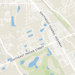
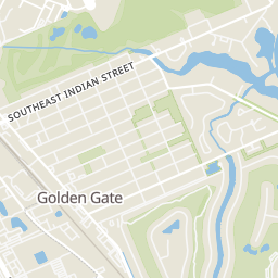
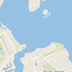
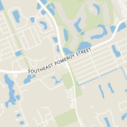
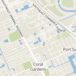
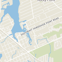
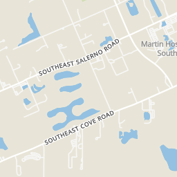
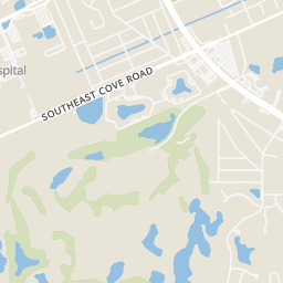
Within 2 miles of this home: 22 restaurants and cafés, 6 grocery stores, 22 parks and green spaces, and 16 transit stops.
Place data from OpenStreetMap.
Joey's Kitchen & Catering
SE Saint Lucie Boulevard
Gettin Crabby
SE Salerno Road
Basin Seafood
SE Salerno Road
Pirate's Cove
Pirate's Loft
SE Bayview Street
Pirate's Cove Tiki Bar
The Reef Waterfront Restaurant
SE Salerno Road
Two Georges
SE Salerno Road
Walmart Supercenter
SE Federal Highway
ALDI
SE Federal Highway
Winn-Dixie
SE Federal Highway
Asian Specialty Products
SE Federal Highway
Publix
SE Federal Highway
Sprouts Farmers Market
SE Federal Highway
Wojcieszak Park
Pine
Kensington Pond Park
Ferndale Greenway
Canal Front Park
Lamar Howard Park
Kengsington Greenway
Sandsprit Bluff
Walmart (Stuart)
U.S. 1 & Pomeroy Street
U.S. 1 & Market Place
Salerno Road & U.S. 1
Fairmont Street @ Lamar Howard Park
US 1 & Salerno Road
Evergreen Avenue & Indian Street
US 1 & Cove Road East
Rings at ½ mile and 1 mile. Basemap © OpenMapTiles © OpenStreetMap contributors.
Open the Stuart camera map2 license-plate readers mapped within ½ mile of this home, both identified as Flock Safety devices. Nearest: 0.4 mi northwest.
| Device type | Within ½ mi | Within 1 mi |
|---|---|---|
| License-plate readers | 2 | 10 |
| of which Flock Safety | 2 | 10 |
Community-reported via OpenStreetMap; may be incomplete. Data as of . © OpenStreetMap contributors (ODbL)
License-plate readers (ALPR) are fixed cameras that photograph passing vehicles and read their plates. Records are typically shared with the agency or association that operates the camera.
Flock Safety is a company whose plate-reader cameras are used by police departments, cities, HOAs and businesses. Its devices are usually solar-powered and pole-mounted.