48

$268,000
2 bd · 2 ba · 880 sqft
650 Harlow Rd Unit 152, Springfield, OR
Gwendolynn Herndon · MORE Realty


No listing photos
2
Beds
1
Baths
831
Sqft
1950
Year built
Range $310,057 – $344,107 · as of August 30, 2026
ATTOM automated valuation model · 54 published estimates over 6.7 years · shaded band is the model's own published low-to-high range
Highest reading $346,990 in October 2025; lowest $200,876 in January 2020. The vertical scale starts at the series' own low, not at zero — it is drawn to show movement, not absolute size.
$65,416
Estimated monthly payment
$2,214/mo
Loan amount $261,666. Estimate only — your actual rate and payment depend on credit, location, and lender.
2025 roll
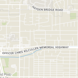
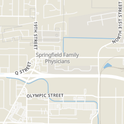
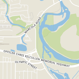
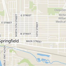
Within 2 miles of this home: 39+ restaurants and cafés, 8 grocery stores, 26 parks and green spaces, and 26+ transit stops.
Place data from OpenStreetMap.
The Alibi Tavern
Main Street
Styr Kurbside Kitchen
28th Street
Ángel
Mexican restaurant
Busy Bee Cafe
American restaurant
Gridiron Grill and Tap House
American restaurant · Main Street
El Pique
Mexican restaurant · Main Street
El Rey Family Mexican
Mexican restaurant
Pizza Hut
El Angel Meat Market
Walmart Supercenter
Olympic Street
WinCo Foods
Olympic Street
Grocery Outlet
South 14th Street
Albertsons
Marcola Road
Erica’s Meat Market
Main Street
Fred Meyer
Q Street
Safeway
Q Street
Marylhurst Park
18th Street
Les Schwab Sports Park at Bob Keefer Center
South 32nd Street
Tyson Park
E Street
Pride Park
South 34th Street
Willamalane Park
G Street
32nd Street Community Sports Park
Douglas Gardens Park
Redwood Drive
Jasper Pond
North Station of Main East of 18th
21st & L
North Station of Main West of 16th
E/S of Mohawk N of G
North Station of Main West of 14th
Route 18
S/S of G E of 12th
North Station of Main East of 12th
Regional Multiple Listing Service (RMLS)Some properties which appear for sale on this web site may subsequently have sold or may no longer be available.
48$268,000
2 bd · 2 ba · 880 sqft
650 Harlow Rd Unit 152, Springfield, OR
Gwendolynn Herndon · MORE Realty
 32
$350,000
3 bd · 1 ba · 1,072 sqft
1432 Modoc St, Springfield, OR
Nick Nelson · Keller Williams Realty Eugene and Springfield
 38
$268,000
2 bd · 2 ba · 880 sqft
650 Harlow Rd Unit 238, Springfield, OR
Nicole Ferrell · Triple Oaks Realty LLC
 Price Reduced27
$399,999
3 bd · 2 ba · 1,104 sqft
2226 32nd St, Springfield, OR
Julie Pollock · Triple Oaks Realty LLC
 Price Reduced26
$229,900
3 bd · 1 ba · 792 sqft
736 5th St, Springfield, OR
Jill Mestler · Windermere RE Lane County
 Price Reduced48
$335,000
3 bd · 2 ba · 1,296 sqft
502 S 6th St, Springfield, OR
Cailen Arnold · Oregon Life Homes
School ratings (A+ to F) from HJN community data.
Maple Elementary School
KG-5 · Regular · Springfield School District 19
257 students · 17.1:1 student–teacher
Agnes Stewart Middle School
6-8 · Regular · Springfield School District 19
460 students · 17.4:1 student–teacher
Two Rivers - Dos Ríos Elementary School
KG-5 · Regular · Springfield School District 19
376 students · 16.5:1 student–teacher
Gateways High School
9-12 · Regular · Springfield School District 19
101 students · 12.8:1 student–teacher
Springfield Christian Kindergarten and Preschool
PK-KG · Early Childhood Program/Child Care Center
10 students · 12.5:1 student–teacher
Douglas Gardens Elementary School
KG-5 · Regular · Springfield School District 19
293 students · 16.5:1 student–teacher
Springfield High School
9-12 · Regular · Springfield School District 19
1,229 students · 18.7:1 student–teacher
Academy of Arts and Academics
9-12 · Regular · Springfield School District 19
231 students · 16.6:1 student–teacher
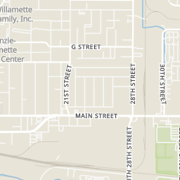
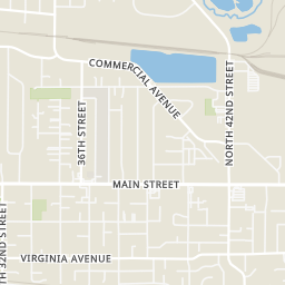
Rings at ½ mile and 1 mile. Basemap © OpenMapTiles © OpenStreetMap contributors.
Open the Springfield camera map8 CCTV cameras mapped within 1 mile of this home. None within ½ mile. Nearest: 0.6 mi north. Operator named in the data: WinCo.
| Device type | Within ½ mi | Within 1 mi |
|---|---|---|
| CCTV cameras | 0 | 8 |
Community-reported via OpenStreetMap; may be incomplete. Data as of . © OpenStreetMap contributors (ODbL)
CCTV cameras are fixed video cameras that record a street, building or other area.