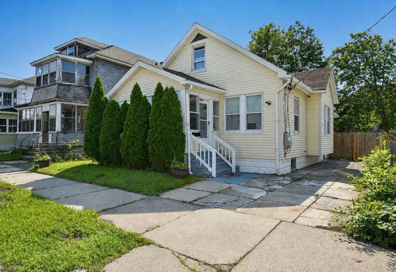
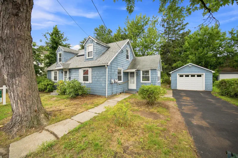
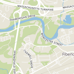
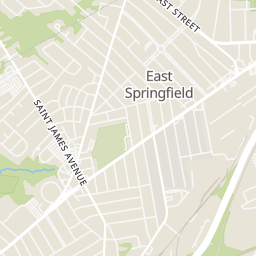
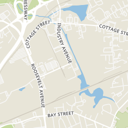
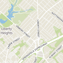
Price Reduced19
$249,900
2 bd · 1 ba · 704 sqft
62 Haumont Ter, Springfield, MA


No listing photos
3
Beds
1
Baths
1,152
Sqft
1948
Year built
Range $229,741 – $292,037 · as of August 30, 2026
ATTOM automated valuation model · 54 published estimates over 6.7 years · shaded band is the model's own published low-to-high range
Highest reading $309,471 in January 2026; lowest $155,080 in January 2020. The vertical scale starts at the series' own low, not at zero — it is drawn to show movement, not absolute size.
$52,178
Estimated monthly payment
$1,801/mo
Loan amount $208,711. Estimate only — your actual rate and payment depend on credit, location, and lender.
2025 roll
School ratings (A+ to F) from HJN community data.
Mary O Pottenger
PK-5 · Regular · Springfield School District
365 students · 10.9:1 student–teacher
Van Sickle Academy
6-8 · Regular · Springfield School District
262 students · 11.4:1 student–teacher
Van Sickle Preparatory
6-8 · Regular · Springfield School District
206 students · 11.4:1 student–teacher
The Springfield Renaissance School an Expeditionary Learning
6-12 · Regular · Springfield School District
593 students · 11.0:1 student–teacher
Samuel Bowles
PK-5 · Regular · Springfield School District
325 students · 10.3:1 student–teacher
Grace Academy
KG-10 · Alternative/Other
47 students · 6.9:1 student–teacher
Springfield Central High School
9-12 · Regular · Springfield School District
1,983 students · 12.2:1 student–teacher
Margaret C Ells
PK-PK · Regular · Springfield School District
141 students · 7.7:1 student–teacher
Some properties which appear for sale on this web site may subsequently have sold or may no longer be available.
Desiree Orcutt · William Raveis R.E. & Home Services
 MLS Property Information Network (MLS PIN)
Within 2 miles of this home: 8 restaurants and cafés, 8 grocery stores, 35+ parks and green spaces, and 35+ transit stops.
Place data from OpenStreetMap.
El Morro Bakery and Restaurant
Page Boulevard
Route 66 Diner
McDonald's
Page Boulevard
Rocka Docka Foods
Monsoon Roastery
Dunkin
Liberty Street
Fairview Market
Fairview Avenue
Chicopee Pizza Restaurant
Main Street
Big Y
Saint James Avenue
Stop & Shop
Liberty Street
Urban Artisan Farm
The Urban Food Brood
Albany Street
Happy Man Freeze Dried
Save-A-Lot
Dollar Plus Value Discount
State Street
America's Fodd Basket
State Street
Marshall Roy Park
Blunt Park
Abbey Brook Extension
Memorial Field
Abbey Brook
Acorn Park
Ellis Playground
Delta Hills Conservation Area
SAINT JAMES / HOLY CROSS
Saint James/Holy Cross(opposite)
Saint James/Georgetown
SAINT JAMES / ST JAMES
PAGE / SAINT JAMES
Page/Haumont
Carew / Detroit
SAINT JAMES / CAREW
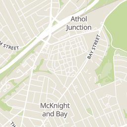
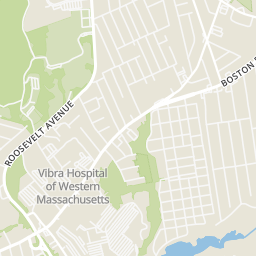
Rings at ½ mile and 1 mile. Basemap © OpenMapTiles © OpenStreetMap contributors.
Open the Springfield camera map1 CCTV camera mapped within 1 mile of this home. None within ½ mile. Nearest: 1.0 mi northeast. Operator named in the data: Massachusetts Department of Transportation.
| Device type | Within ½ mi | Within 1 mi |
|---|---|---|
| CCTV cameras | 0 | 1 |
Community-reported via OpenStreetMap; may be incomplete. Data as of . © OpenStreetMap contributors (ODbL)
CCTV cameras are fixed video cameras that record a street, building or other area.