Price Reduced46
$325,000
0 bd · 0 ba · 4,000 sqft
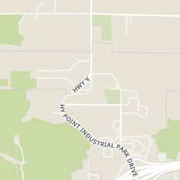
14525 State Route Y, Rolla, MO
Danielle Jordan · Real Broker LLC

$69/sqft · 136 days on Realty
4,000
Building
0.5 acres
Lot
1989
Built
Versatile Shop Building with Office Space in an Established Industrial Area! This well-equipped commercial property offers approximately 4,000 SF M/L of shop and office space with endless possibilities for industrial, warehouse, contractor, manufacturing, or service-related uses. The front office features central heat and air, a reception/work area, one restroom, and an additional upstairs office. The insulated shop area includes a parts room, floor drains, 400-amp electrical service, one electric heater, and impressive 16-foot eave height. Two 12' x 14' overhead doors provide excellent access for large equipment, trucks, or inventory. The building is constructed with durable metal siding and a metal roof and is served by county water and sewer along with Intercounty Electric. Located in an established industrial area, this property is ready to support a wide range of business operations.
Listing agent
Michael Woessner
Courtesy of Investment Realty, Inc.
(573) 364-8111
MARIS MLS · Listing MIS26037201
2026 roll
MARIS MLSThis content last refreshed on 2026-10-25 01:52:35 UTC. Some properties which appear for sale on this web site may subsequently have sold or may no longer be available.
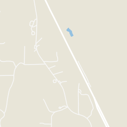
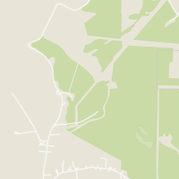
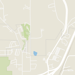
Rings at ½ mile and 1 mile. Basemap © OpenMapTiles © OpenStreetMap contributors.
Open the Rolla camera map2 license-plate readers mapped within ½ mile of this home, both identified as Flock Safety devices. Nearest: 0.4 mi southwest. Operator named in the data: Lowe's.
| Device type | Within ½ mi | Within 1 mi |
|---|---|---|
| License-plate readers | 2 | 2 |
| of which Flock Safety | 2 | 2 |
Community-reported via OpenStreetMap; may be incomplete. Data as of . © OpenStreetMap contributors (ODbL)
License-plate readers (ALPR) are fixed cameras that photograph passing vehicles and read their plates. Records are typically shared with the agency or association that operates the camera.
Flock Safety is a company whose plate-reader cameras are used by police departments, cities, HOAs and businesses. Its devices are usually solar-powered and pole-mounted.
Within 2 miles of this home: 38 restaurants and cafés, 3 grocery stores, and 13 parks and green spaces.
Place data from OpenStreetMap.
Steak 'n Shake
North Bishop Avenue
Smoothie King
Lee's Famous Recipe Chicken
North Bishop Avenue
Buffalo Wild Wings
North Bishop Avenue
Koi Roll Restaurant
North Bishop Avenue
IHOP
North Bishop Avenue
Thomas Jefferson Dining Hall
West 18th Street
Domino's
North Bishop Avenue
Nature Girls
N Bishop Ave
Price Chopper
Forum Drive
Kroger
West 4th Street
Northside Park
Ber Juan Park
East 10th Street
Heritage Heights Park
Frisco Lake
Schuman Park
Murry Park
Angus Valley Drive
Audubon Trails Nature Center
Gary Thomas Memorial Garden