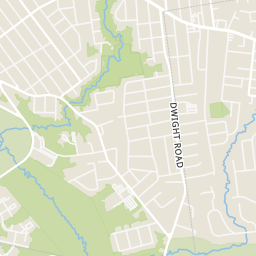
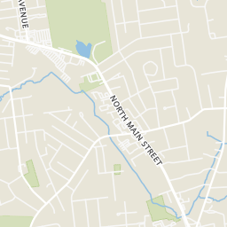
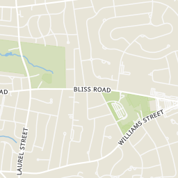
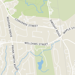
 Price Reduced28

$259,900
3 bd · 2 ba · 1,826 sqft
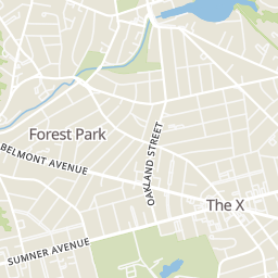
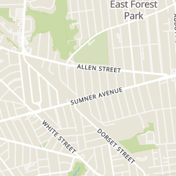
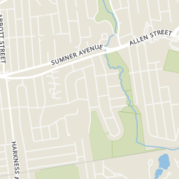
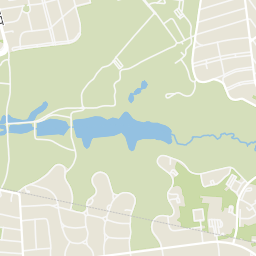
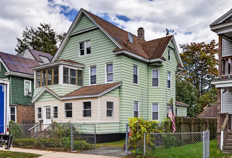
69 Crystal Ave, Springfield, MA
Patriot Living Group · Lock and Key Realty Inc.


No listing photos
2
Beds
1
Baths
936
Sqft
1986
Year built
Range $190,789 – $247,211 · as of August 30, 2026
ATTOM automated valuation model · 54 published estimates over 6.7 years · shaded band is the model's own published low-to-high range
Highest reading $322,948 in January 2026; lowest $155,325 in February 2020. The vertical scale starts at the series' own low, not at zero — it is drawn to show movement, not absolute size.
$43,800
Estimated monthly payment
$1,511/mo
Loan amount $175,200. Estimate only — your actual rate and payment depend on credit, location, and lender.
2026 roll
School ratings (A+ to F) from HJN community data.
Washington
PK-5 · Regular · Springfield School District
430 students · 11.4:1 student–teacher
Alice B Beal Elementary School
PK-5 · Regular · Springfield School District
292 students · 11.9:1 student–teacher
Martin Luther King Jr. Charter School of Excellence
KG-5 · Regular · Martin Luther King Jr. Charter School of Excellence
354 students · 9.6:1 student–teacher
Within 2 miles of this home: 22 restaurants and cafés, 3 grocery stores, 36+ parks and green spaces, and 36+ transit stops.
Place data from OpenStreetMap.
Pizza Works
Dickinson Street
Panera Bread
North Main Street
Jack Chen II Restaurant
Chinese restaurant · Sumner Avenue
Taco Bell
Sumner Avenue
Ichiban East Longmeadow
North Main Street
Ninety-Nine Restaurant
American restaurant · North Main Street
El Charro
Mexican restaurant · Belmont Avenue
Starbucks
Bliss Road
Big Y
North Main Street
Stop & Shop
North Main Street
Food Zone
Belmont Avenue
Valentine Park
Entry Dingle Brook Park
Mary Shea Park
Lull Conservation Area 2
Albert Tranghese Playground
Flag Pole
Nathan Bill Park
Bill Playground
White/Eleanor
White/Manitoba
White/Sunapee
DWIGHT / WHITE
DWIGHT / STANTON
BELMONT / FOUNTAIN
Belmont/Fountain(opposite)
Belmont/Kenwood Park
Rings at ½ mile and 1 mile. Basemap © OpenMapTiles © OpenStreetMap contributors.
Open the Springfield camera map1 license-plate reader mapped within 1 mile of this home, identified as a Flock Safety device. None within ½ mile. Nearest: 0.7 mi northwest. Operator named in the data: Springfield Police.
| Device type | Within ½ mi | Within 1 mi |
|---|---|---|
| License-plate readers | 0 | 1 |
| of which Flock Safety | 0 | 1 |
Community-reported via OpenStreetMap; may be incomplete. Data as of . © OpenStreetMap contributors (ODbL)
License-plate readers (ALPR) are fixed cameras that photograph passing vehicles and read their plates. Records are typically shared with the agency or association that operates the camera.
Flock Safety is a company whose plate-reader cameras are used by police departments, cities, HOAs and businesses. Its devices are usually solar-powered and pole-mounted.
MLS Property Information Network (MLS PIN)Some properties which appear for sale on this web site may subsequently have sold or may no longer be available.
Price Reduced28$259,900
3 bd · 2 ba · 1,826 sqft
69 Crystal Ave, Springfield, MA
Patriot Living Group · Lock and Key Realty Inc.
 Price Reduced35
$275,000
2 bd · 2 ba · 1,314 sqft
26 Fern St., Springfield, MA
Dawn Currier · Coldwell Banker Realty - Western MA
 41
$264,900
2 bd · 2 ba · 1,309 sqft
102 Tiffany St, Springfield, MA
Raquel Medina · Lock and Key Realty Inc.
 1
$199,900
3 bd · 2 ba · 1,296 sqft
324 Oakland St, Springfield, MA
Chester Ardolino · Berkshire Hathaway HomeServices Realty Professionals
 Price Reduced33
$244,900
3 bd · 2 ba · 1,482 sqft
35 Thayer Ave, Springfield, MA
Nunley Group · Executive Real Estate, Inc.
 15
$279,900
2 bd · 2 ba · 868 sqft
36 Williamsburg #36, Springfield, MA
Russell J. Sabadosa · Premier Choice Realty