 New30

$319,900
3 bd · 2 ba · 1,100 sqft
1167 Reel Street, Norfolk, VA
Swell Realty Co


No listing photos
3
Beds
2
Baths
1,564
Sqft
1950
Year built
Range $290,963 – $333,973 · as of August 30, 2026
ATTOM automated valuation model · 54 published estimates over 6.7 years
Highest reading $312,468 in August 2026; lowest $156,018 in March 2020. The vertical scale starts at the series' own low, not at zero — it is drawn to show movement, not absolute size.
$62,494
Estimated monthly payment
$2,120/mo
Loan amount $249,974. Estimate only — your actual rate and payment depend on credit, location, and lender.
2026 roll
School ratings (A+ to F) from HJN community data.
Ingleside Elementary School
PK-5 · Regular · Norfolk City Public Schools
574 students · 14.0:1 student–teacher
Chesterfield Academy Elementary School
PK-5 · Regular · Norfolk City Public Schools
325 students · 11.6:1 student–teacher
Richard Bowling Elementary School
PK-5 · Regular · Norfolk City Public Schools
492 students · 11.7:1 student–teacher
St Peters Episcopal Day School
PK-KG · Early Childhood Program/Child Care Center
5 students · 8.3:1 student–teacher
Norfolk Highlands Primary School
PK-3 · Regular · Chesapeake City Public Schools
294 students · 12.9:1 student–teacher
Southside STEM Academy at Campostella
KG-8 · Regular · Norfolk City Public Schools
686 students · 12.0:1 student–teacher
St Matthew's School
PK-8 · Regular
438 students · 13.4:1 student–teacher
Jacox Elementary School
PK-5 · Regular · Norfolk City Public Schools
596 students · 13.6:1 student–teacher
Within 2 miles of this home: 37+ restaurants and cafés, 5 grocery stores, 9 parks and green spaces, and 4 transit stops.
Place data from OpenStreetMap.
Domino's
East Virginia Beach Boulevard
Los Primos
Mexican restaurant
Waffle House
American restaurant · Ingleside Road
Norfolk Garden
Korean restaurant · North Military Highway
Hardee's
East Princess Anne Road
Arby's
North Military Highway
Tim Hortons
Dunkin
North Military Highway
Walmart Neighborhood Market
East Princess Anne Road
Piggly Wiggly
East Princess Anne Road
Aldi
North Military Highway
Food Lion
North Military Highway
Walmart Supercenter
North Military Highway
Broad Creek Park
Meadow Lake
Poplar Hall Park
Industrial Park - Azalea Little League
Spartan Park
White House Memorial Garden
Blue Heron Landing Park
Indian River Road
NSU Gardens
Ingleside Road
Ballentine/Broad Creek
Military Highway
NSU
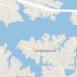
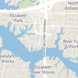
Rings at ½ mile and 1 mile. Basemap © OpenMapTiles © OpenStreetMap contributors.
Open the Norfolk camera map1 license-plate reader mapped within ½ mile of this home. Nearest: 0.5 mi west. Operator named in the data: Norfolk Police Department.
| Device type | Within ½ mi | Within 1 mi |
|---|---|---|
| License-plate readers | 1 | 6 |
| of which Flock Safety | 0 | 1 |
Community-reported via OpenStreetMap; may be incomplete. Data as of . © OpenStreetMap contributors (ODbL)
License-plate readers (ALPR) are fixed cameras that photograph passing vehicles and read their plates. Records are typically shared with the agency or association that operates the camera.
Flock Safety is a company whose plate-reader cameras are used by police departments, cities, HOAs and businesses. Its devices are usually solar-powered and pole-mounted.
Real Estate Information Network (REIN)Some properties which appear for sale on this web site may subsequently have sold or may no longer be available.
New30$319,900
3 bd · 2 ba · 1,100 sqft
1167 Reel Street, Norfolk, VA
Swell Realty Co
 40
$300,000
2 bd · 2 ba · 1,349 sqft
1532 Miltate Avenue, Norfolk, VA
Iron Valley Real Estate HR
 34
$389,900
3 bd · 3 ba · 2,046 sqft
3596 Kentucky Avenue, Norfolk, VA
Iron Valley Real Est Norfolk
 24
$298,500
3 bd · 1 ba · 1,220 sqft
3586 Tennessee Avenue, Norfolk, VA
The Bryant Group
 New16
$345,000
3 bd · 3 ba · 1,550 sqft
5509 Sandpiper Lane, Norfolk, VA
Real Broker LLC
 35
$345,000
4 bd · 2 ba · 1,443 sqft
5569 Deepdale Drive, Norfolk, VA
Serhant