39
$459,000
3 bd · 3 ba · 1,764 sqft
2543 Antietam Drive, Ann Arbor, MI
on 3 MLSs


No listing photos
3
Beds
2.5
Baths
2,328
Sqft
2019
Year built
Range $601,166 – $658,635 · as of August 30, 2026
ATTOM automated valuation model · 55 published estimates over 6.7 years
Highest reading $721,440 in January 2024; lowest $400,517 in April 2020. The vertical scale starts at the series' own low, not at zero — it is drawn to show movement, not absolute size.
$125,980
Estimated monthly payment
$4,183/mo
Loan amount $503,920. Estimate only — your actual rate and payment depend on credit, location, and lender.
2026 roll
School ratings (A+ to F) from HJN community data.
Logan Elementary School
KG-5 · Regular · Ann Arbor Public Schools
349 students · 14.5:1 student–teacher
Clague Middle School
6-8 · Regular · Ann Arbor Public Schools
696 students · 18.7:1 student–teacher
Thurston Elementary School
KG-5 · Regular · Ann Arbor Public Schools
506 students · 15.7:1 student–teacher
Michigan Islamic Academy
PK-12 · Regular
244 students · 7.6:1 student–teacher
Rudolf Steiner School of Ann Arbor
9-12 · Regular
80 students · 6.7:1 student–teacher
Green House Montessori School
KG-KG · Montessori
8 students · 3.8:1 student–teacher
Fr Gabriel Richard High School
9-12 · Regular
464 students · 12.3:1 student–teacher
Northside Elementary School
KG-5 · Regular · Ann Arbor Public Schools
614 students · 14.3:1 student–teacher
Some properties which appear for sale on this web site may subsequently have sold or may no longer be available.
 MiRealSource
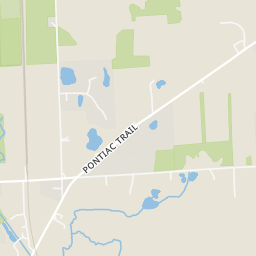
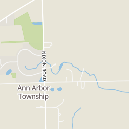
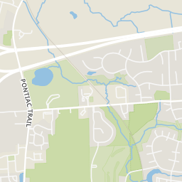
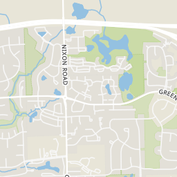
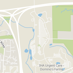
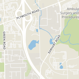
Rings at ½ mile and 1 mile. Basemap © OpenMapTiles © OpenStreetMap contributors.
Open the Ann Arbor camera map1 CCTV camera mapped within 1 mile of this home. None within ½ mile. Nearest: 0.5 mi north.
| Device type | Within ½ mi | Within 1 mi |
|---|---|---|
| CCTV cameras | 0 | 1 |
Community-reported via OpenStreetMap; may be incomplete. Data as of . © OpenStreetMap contributors (ODbL)
CCTV cameras are fixed video cameras that record a street, building or other area.
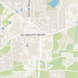
Within 2 miles of this home: 40+ restaurants and cafés, 5 grocery stores, 38+ parks and green spaces, and 34+ transit stops.
Place data from OpenStreetMap.
Rappourt
Plymouth Road
Cottage Inn Pizza
Plymouth Road
Curry On
Indian restaurant · Plymouth Road
El Limón
Plymouth Road
Jimmy John's
Plymouth Road
Songbird Café
Plymouth Road
Evergreen
Chinese restaurant · Plymouth Road
Yoon's Bakery
Korean restaurant · Plymouth Road
Kroger
Plymouth Road
Green Things Farm Collective Farm Stand
Nixon Road
Way 1 Supermarket
Plymouth Road
Plum Market
Plymouth Road
Busch's Fresh Food Market
Green Road
Bark Park
Foxfire East Park
Foxway Drive
Buttonbush Nature Area
Placid Way Park
Sugarbush Park
Oakwoods Nature Area
Foxfire South Park
Dhu Varren Road
Foxfire North Park
Hickory Point Drive
Green + Nixon
Dhu Varren + Omlesaad
Nixon + Plymouth
Michigan House
Food Gatherers
Dhu Varren + Carrot Way
2101 Commonwealth
N446: NCRC