 29
$259,999
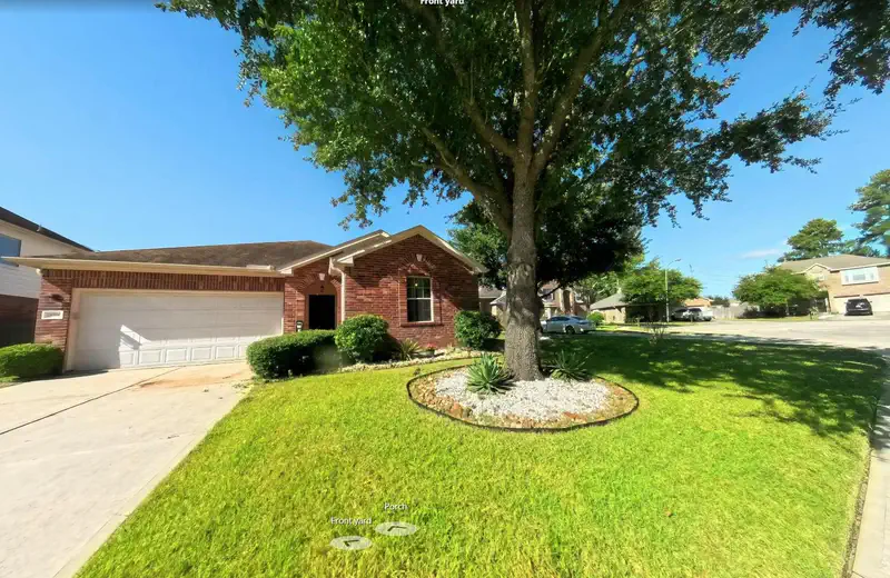
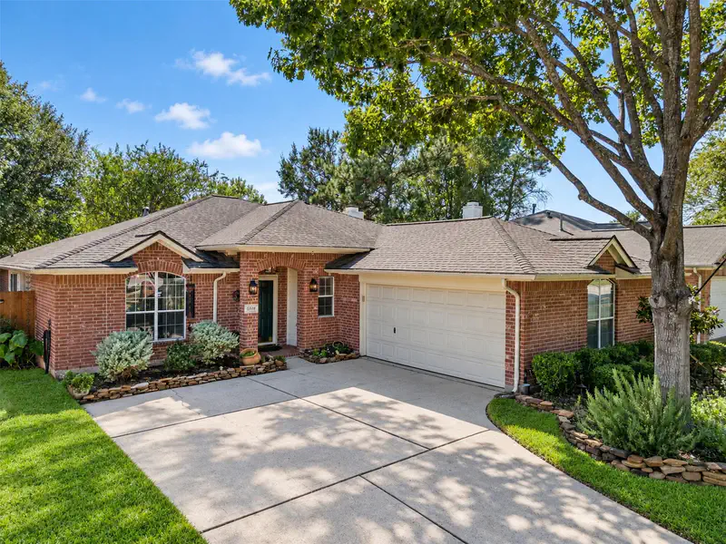
3 bd · 2 ba · 1,905 sqft
6006 Knollwood Trail, Spring, TX
Michael Castro · Martha Turner Sotheby's International Realty - The Woodlands


No listing photos
3
Beds
2
Baths
1,773
Sqft
1983
Year built
Range $212,381 – $257,465 · as of August 30, 2026
ATTOM automated valuation model · 54 published estimates over 6.7 years · shaded band is the model's own published low-to-high range
Highest reading $267,667 in March 2024; lowest $165,775 in January 2020. The vertical scale starts at the series' own low, not at zero — it is drawn to show movement, not absolute size.
$46,985
Estimated monthly payment
$1,623/mo
Loan amount $187,938. Estimate only — your actual rate and payment depend on credit, location, and lender.
2026 roll
School ratings (A+ to F) from HJN community data.
Hirsch Elementary School
PK-5 · Regular · Spring Independent School District
630 students · 15.2:1 student–teacher
Twin Creeks Middle School
6-8 · Regular · Spring Independent School District
848 students · 15.3:1 student–teacher
Founders Christian School
KG-12 · Regular
139 students · 8.2:1 student–teacher
Sam Houston State University Charter School
KG-6 · Regular · SAM HOUSTON STATE UNIVERSITY CHARTER SCHOOL
437 students · 17.5:1 student–teacher
Winship Elementary School
PK-5 · Regular · Spring Independent School District
524 students · 16.9:1 student–teacher
McNabb Elementary School
PK-5 · Regular · Spring Independent School District
743 students · 18.5:1 student–teacher
Marshall Elementary School
PK-5 · Regular · Spring Independent School District
876 students · 15.9:1 student–teacher
Legacy School of Sport Sciences
6-12 · Regular · LEGACY SCHOOL of SPORT SCIENCES
468 students · 18.7:1 student–teacher
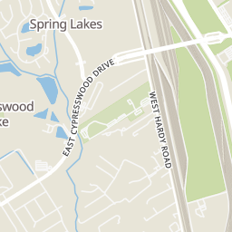
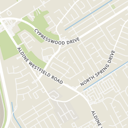
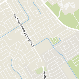
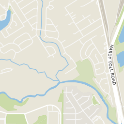
Within 2 miles of this home: 15 restaurants and cafés, 2 grocery stores, and 9 parks and green spaces.
Place data from OpenStreetMap.
Chycho's
Mexican restaurant · Aldine Westfield Road
Veganism Htx
Cypresswood Drive
McDonald's
Cypresswood
Subway
Jack in the Box
Aldine Westfield Road
Sonic
Aldine Westfield
Burger King
East Cypresswood Drive
Some properties which appear for sale on this web site may subsequently have sold or may no longer be available.
McAlister's Deli
Food Fair Supermarket
Walmart Neighborhood Market
Aldine Westfield Road
Liberty Park
Cypress Creek Park at Timber Lane
Timber Lane Park
Bayer Park
Hermann Little Park
Mercer Arboretum & Botanic Gardens
Aldine Westfield Road
Community Recreation Area
Charlie Gant Park
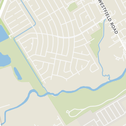
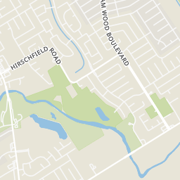
Rings at ½ mile and 1 mile. Basemap © OpenMapTiles © OpenStreetMap contributors.
Open the Spring camera map4 license-plate readers mapped within 1 mile of this home, all identified as Flock Safety devices. None within ½ mile. Nearest: 0.6 mi northeast.
| Device type | Within ½ mi | Within 1 mi |
|---|---|---|
| License-plate readers | 0 | 4 |
| of which Flock Safety | 0 | 4 |
Community-reported via OpenStreetMap; may be incomplete. Data as of . © OpenStreetMap contributors (ODbL)
License-plate readers (ALPR) are fixed cameras that photograph passing vehicles and read their plates. Records are typically shared with the agency or association that operates the camera.
Flock Safety is a company whose plate-reader cameras are used by police departments, cities, HOAs and businesses. Its devices are usually solar-powered and pole-mounted.
 Houston Association of REALTORS