 42

$610,000
2 bd · 4 ba · 1,993 sqft
197 High Street #9, Andover, MA
Nirav Dhamsania · Century 21 North East


No listing photos
1
Beds
1
Baths
1,750
Sqft
1750
Year built
Range $771,905 – $877,215 · as of August 30, 2026
ATTOM automated valuation model · 54 published estimates over 6.7 years · shaded band is the model's own published low-to-high range
Highest reading $824,560 in August 2026; lowest $453,496 in April 2020. The vertical scale starts at the series' own low, not at zero — it is drawn to show movement, not absolute size.
$164,912
Estimated monthly payment
$5,368/mo
Loan amount $659,648. Estimate only — your actual rate and payment depend on credit, location, and lender.
2025 roll
School ratings (A+ to F) from HJN community data.
High Plain Elementary School
KG-5 · Regular · Andover School District
505 students · 11.6:1 student–teacher
Wood Hill Middle School
6-8 · Regular · Andover School District
317 students · 8.9:1 student–teacher
The Kathy Herward Child Care Center
PK-KG · Early Childhood Program/Child Care Center
10 students · 6.3:1 student–teacher
West Elementary School
KG-5 · Regular · Andover School District
605 students · 10.9:1 student–teacher
Henry C. Sanborn Elementary School
KG-5 · Regular · Andover School District
332 students · 13.9:1 student–teacher
Andover High School
9-12 · Regular · Andover School District
1,609 students · 12.8:1 student–teacher
Grade Lawrence Regional Vocational Technical
9-12 · Vocational Education · Greater Lawrence Regional Vocational Technical
1,837 students · 12.8:1 student–teacher
West Middle School
6-8 · Regular · Andover School District
508 students · 12.1:1 student–teacher
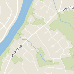
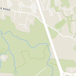
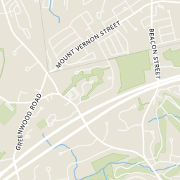
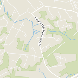
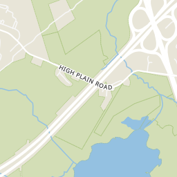
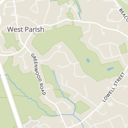
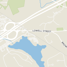
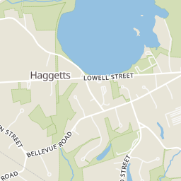
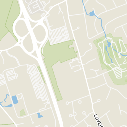
Rings at ½ mile and 1 mile. Basemap © OpenMapTiles © OpenStreetMap contributors.
Open the Andover camera map1 CCTV camera mapped within ½ mile of this home. Nearest: 0.3 mi north. Operator named in the data: Massachusetts Department of Transportation.
| Device type | Within ½ mi | Within 1 mi |
|---|---|---|
| CCTV cameras | 1 | 1 |
Community-reported via OpenStreetMap; may be incomplete. Data as of . © OpenStreetMap contributors (ODbL)
CCTV cameras are fixed video cameras that record a street, building or other area.
Within 2 miles of this home: 5 restaurants and cafés, 34+ parks and green spaces, and 5 transit stops.
Place data from OpenStreetMap.
Dunkin
Lowell Street
CRACK'D Kitchen & Coffee
Lowell Street
Barron's Country Store
Lowell Street
Ninety Nine Restaurant
American restaurant · Lowell Street
Dunkin' Donuts
Fish Brook South Reservation
Bald Hill
Harold R. Rafton Reservation
Starwood Crossing Green Area
Andover Dog Park
High Plain Road
Greenwood Road Land
Andover Community Garden
Virginia Hammond Reservation
IRS Facility
Mt. Vernon and North
Raytheon
Raytheon Facility Andover
Shepard and Glenn
MLS Property Information Network (MLS PIN)Some properties which appear for sale on this web site may subsequently have sold or may no longer be available.
42$610,000
2 bd · 4 ba · 1,993 sqft
197 High Street #9, Andover, MA
Nirav Dhamsania · Century 21 North East
 Price Reduced42
$849,900
2 bd · 3 ba · 2,315 sqft
36 Woodland Rd, Andover, MA
The Carroll Group · RE/MAX Partners
 Price Reduced34
$619,900
2 bd · 2 ba · 1,500 sqft
4 Francis Dr #412, Andover, MA
Kerry Lapiana · Diamond Key Real Estate
 38
$649,900
2 bd · 2 ba · 1,341 sqft
6 Overlook Dr #408, Andover, MA
Team Sonia Rollins & Associates · EXIT Premier Real Estate