Price Reduced21
$255,000
3 bd · 2 ba · 1,465 sqft
16 Otis St, Westfield, MA


No listing photos
2
Beds
1.5
Baths
1,152
Sqft
1958
Year built
Range $336,711 – $367,713 · as of August 30, 2026
ATTOM automated valuation model · 54 published estimates over 6.7 years · shaded band is the model's own published low-to-high range
Highest reading $369,661 in July 2026; lowest $213,707 in January 2020. The vertical scale starts at the series' own low, not at zero — it is drawn to show movement, not absolute size.
$70,442
Estimated monthly payment
$2,360/mo
Loan amount $281,770. Estimate only — your actual rate and payment depend on credit, location, and lender.
2026 roll
School ratings (A+ to F) from HJN community data.
Southampton Road Elementary School
KG-4 · Regular · Westfield School District
310 students · 14.4:1 student–teacher
Westfield Intermediate School
5-6 · Regular · Westfield School District
729 students · 11.3:1 student–teacher
St Marys Parish School
PK-8 · Regular
203 students · 8.8:1 student–teacher
St Mary's Parish School - Secondary School
9-12 · Regular
103 students · 9.1:1 student–teacher
Fort Meadow Early Childhood Center
PK-PK · Regular · Westfield School District
162 students · 20.1:1 student–teacher
Westfield High School
9-12 · Regular · Westfield School District
1,034 students · 11.9:1 student–teacher
Franklin Avenue Elementary School
KG-4 · Regular · Westfield School District
176 students · 10.7:1 student–teacher
Paper Mill Elementary School
KG-4 · Regular · Westfield School District
312 students · 11.2:1 student–teacher
Some properties which appear for sale on this web site may subsequently have sold or may no longer be available.
Aimee Tompkins · Park Square Realty
 MLS Property Information Network (MLS PIN)
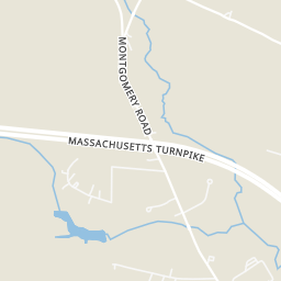
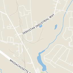
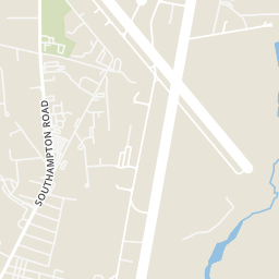
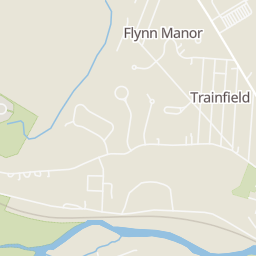
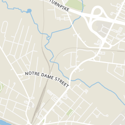
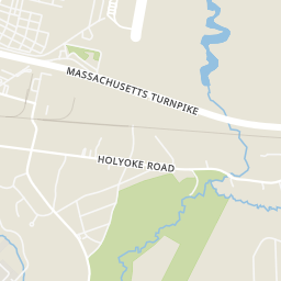
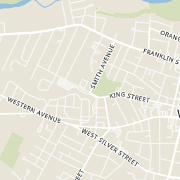
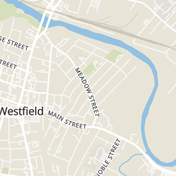
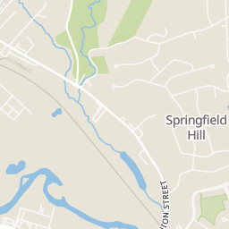
Rings at ½ mile and 1 mile. Basemap © OpenMapTiles © OpenStreetMap contributors.
Open the Westfield camera map2 license-plate readers mapped within ½ mile of this home. Nearest: 0.5 mi northeast.
| Device type | Within ½ mi | Within 1 mi |
|---|---|---|
| License-plate readers | 2 | 2 |
| CCTV cameras | 0 | 1 |
Community-reported via OpenStreetMap; may be incomplete. Data as of . © OpenStreetMap contributors (ODbL)
License-plate readers (ALPR) are fixed cameras that photograph passing vehicles and read their plates. Records are typically shared with the agency or association that operates the camera.
CCTV cameras are fixed video cameras that record a street, building or other area.
Within 2 miles of this home: 37+ restaurants and cafés, 5 grocery stores, 24 parks and green spaces, and 32 transit stops.
Place data from OpenStreetMap.
Dunkin
Hot Table
Starbucks
Southampton Road
Wendy's
Southampton Road
The Whip
North Elm Street
McDonald's
North Elm Street
Westwood Restaurant & Pub
American restaurant · North Elm Street
Kettlebread Deli
Meadow Street
Stop & Shop
Main Street
Westfield Farmers' Market
ALDI
Price Rite
Big Y
General Wareham Park
Westfield Dog Bark
Lockhouse Road
Gateway Entrance Park
Pond Brook Area
Chapman Park
Half Mile Falls Park
Arm Brook Reservoir
Women's Temperance Park
Mass Pike&FriendleyWay (Flag stop - signal driver)
N ELm & Notredame (Flag stop - signal driver)
UNION / UNNAMED STREET
UNION / MORGAN
UNION / PUMPKIN
UNION / SPRINGDALE
Southampton & Hickney (Flag stop - signal driver)
N Elm & Union (Flag stop - signal driver)