New22
$599,900
3 bd · 1 ba · 1,176 sqft
14 Harrison St, Framingham, MA


No listing photos
3
Beds
1.5
Baths
1,495
Sqft
1927
Year built
Range $564,574 – $670,336 · as of August 30, 2026
ATTOM automated valuation model · 53 published estimates over 6.7 years · shaded band is the model's own published low-to-high range
Highest reading $742,589 in July 2025; lowest $382,756 in April 2020. The vertical scale starts at the series' own low, not at zero — it is drawn to show movement, not absolute size.
$123,491
Estimated monthly payment
$4,076/mo
Loan amount $493,964. Estimate only — your actual rate and payment depend on credit, location, and lender.
2025 roll
School ratings (A+ to F) from HJN community data.
Miriam F Mccarthy School
PK-5 · Regular · Framingham School District
490 students · 10.8:1 student–teacher
Fuller Middle School
6-8 · Regular · Framingham School District
592 students · 8.6:1 student–teacher
St Bridget School
PK-8 · Regular
207 students · 10.3:1 student–teacher
Wayside Academy
7-12 · Special Education
22 students · 3.7:1 student–teacher
Barbieri Elementary School
KG-5 · Regular · Framingham School District
671 students · 13.2:1 student–teacher
Joseph P Keefe Technical High School
9-12 · Vocational Education · South Middlesex Regional Vocational Technical
896 students · 9.9:1 student–teacher
The Learning Center for the Deaf
PK-12 · Special Education
189 students · 3.8:1 student–teacher
Summit Montessori School
PK-6 · Montessori
52 students · 5.2:1 student–teacher
Some properties which appear for sale on this web site may subsequently have sold or may no longer be available.
Surayee Perez · Conway - Canton
 MLS Property Information Network (MLS PIN)
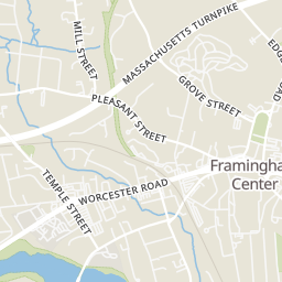
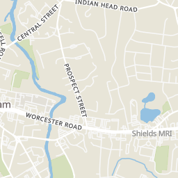
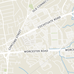
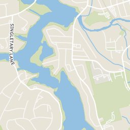
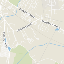
Rings at ½ mile and 1 mile. Basemap © OpenMapTiles © OpenStreetMap contributors.
Open the Framingham camera map4 CCTV cameras mapped within ½ mile of this home. Nearest: 0.1 mi southwest. Operator named in the data: Police (Framingham).
| Device type | Within ½ mi | Within 1 mi |
|---|---|---|
| License-plate readers | 0 | 1 |
| CCTV cameras | 4 | 10 |
Community-reported via OpenStreetMap; may be incomplete. Data as of . © OpenStreetMap contributors (ODbL)
License-plate readers (ALPR) are fixed cameras that photograph passing vehicles and read their plates. Records are typically shared with the agency or association that operates the camera.
CCTV cameras are fixed video cameras that record a street, building or other area.
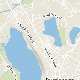
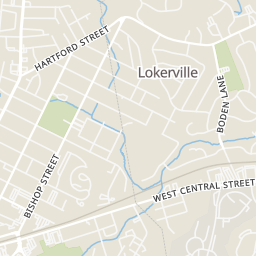
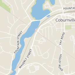
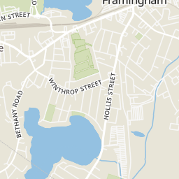
Within 2 miles of this home: 37+ restaurants and cafés, 6 grocery stores, 31+ parks and green spaces, and 36+ transit stops.
Place data from OpenStreetMap.
Dunkin
Franklin Street
Subway
Franklin Street
The Buckley Kitchen & Bar
Franklin Street
Starbucks
Worcester Road
Chipotle
Mexican restaurant · Worcester Road
Jersey Mike's Subs
Worcester Road
Ninety Nine Restaurant & Pub
American restaurant · Worcester Road
House of Pho
Vietnamese restaurant · Worcester Road
Whole Foods Market
Worcester Road
Trader Joe's
Worcester Road
Dubom Supermarket
Worcester Road
Seabra Foods
Waverly Street
Waverly Market
Waverly Street
Stop & Shop
Temple Street
Bowditch Field
Learned Pond
Learned Pond Beach
Learned Park
Farm Pond
Mason Park
Frank Galvani Athletic Complex
Gleason Pond
MetroWest Medical Center
Rose Kennedy Lane
MassBay Community College
Lincoln St & Pearl St
Danforth Museum
Franklin St & Pearl St
Hartford St & Concord St
Arsenal Rd