42

$899,900
5 bd · 3 ba · 2,715 sqft
5 Sandie Lane, Marblehead, MA
Jonathan Blass · Four Points Real Estate, LLC


No listing photos
4
Beds
2.5
Baths
2,106
Sqft
1928
Year built
Range $1,186,468 – $1,359,172 · as of August 30, 2026
ATTOM automated valuation model · 55 published estimates over 6.7 years · shaded band is the model's own published low-to-high range
Highest reading $1,290,486 in August 2025; lowest $799,074 in April 2020. The vertical scale starts at the series' own low, not at zero — it is drawn to show movement, not absolute size.
$254,564
Estimated monthly payment
$8,181/mo
Loan amount $1,018,256. Estimate only — your actual rate and payment depend on credit, location, and lender.
2026 roll
MLS Property Information Network (MLS PIN)Some properties which appear for sale on this web site may subsequently have sold or may no longer be available.
42$899,900
5 bd · 3 ba · 2,715 sqft
5 Sandie Lane, Marblehead, MA
Jonathan Blass · Four Points Real Estate, LLC
 41
$1,349,000
5 bd · 3 ba · 2,722 sqft
50 Sevinor Road, Marblehead, MA
Shari McGuirk · Gibson Sotheby's International Realty
 Price Reduced35
$1,595,000
3 bd · 3 ba · 1,915 sqft
2 Mariners Ln, Marblehead, MA
The Sarkis Team · Douglas Elliman Real Estate - The Sarkis Team
 38
$899,900
3 bd · 3 ba · 1,949 sqft
34 Jersey St, Marblehead, MA
Gifford Group · Churchill Properties
 42
$1,295,000
4 bd · 3 ba · 2,193 sqft
25 Green Street, Marblehead, MA
Willis + Tierney · Compass
 34
$989,000
3 bd · 5 ba · 2,375 sqft
49 Intrepid Circle #49, Marblehead, MA
Mary Stewart & Heather Kaznoski · Compass
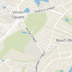
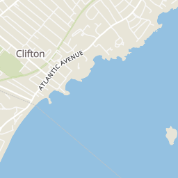
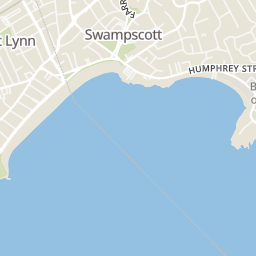
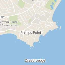
Rings at ½ mile and 1 mile. Basemap © OpenMapTiles © OpenStreetMap contributors.
Open the Marblehead camera map1 license-plate reader mapped within 1 mile of this home, identified as a Flock Safety device. None within ½ mile. Nearest: 0.9 mi west. Operator named in the data: Salem Police.
| Device type | Within ½ mi | Within 1 mi |
|---|---|---|
| License-plate readers | 0 | 1 |
| of which Flock Safety | 0 | 1 |
Community-reported via OpenStreetMap; may be incomplete. Data as of . © OpenStreetMap contributors (ODbL)
License-plate readers (ALPR) are fixed cameras that photograph passing vehicles and read their plates. Records are typically shared with the agency or association that operates the camera.
Flock Safety is a company whose plate-reader cameras are used by police departments, cities, HOAs and businesses. Its devices are usually solar-powered and pole-mounted.
Within 2 miles of this home: 32 restaurants and cafés, 6 grocery stores, 37+ parks and green spaces, and 38+ transit stops.
Place data from OpenStreetMap.
Dunkin
Paradise Road
Rizzo's Roast Beef & Pizza
Paradise Road
Qdoba
Mexican restaurant · Paradise Road
Fantasy Island
Chinese restaurant · Loring Avenue
Vesuvius Salem
Italian restaurant · Paradise Road
Sweet Java
Loring Avenue
Five Guys
Paradise Road
Periwinkle's Food Shop
Loring Avenue
Vinnin Liquors
Paradise Road
Stop & Shop
Paradise Road
Whole Foods Market
Paradise Road
Big Apple Food Shops
Loring Avenue
Crosby's Marketplace
Canal Street
Shubie’s
Atlantic Avenue
Ware Pond Conservation Area
Hobbs Playground
Beach Bluff Park
Preston Beach
Forest River Conservation Area
Gatchell Playgound
Pickman Park Community Garden
Pickman Park
Lincoln Road
Humphrey St @ Rockaway Ave
Humphrey St opp Ruby Ave
Humphrey St @ Tufts St
Humphrey St @ Ruby Ave
Humphrey St @ Clifton Ave
Humphrey St @ Ware Ln
Humphrey St @ West St
Humphrey St @ Palmer Rd
School ratings (A+ to F) from HJN community data.
Epstein Hillel School
KG-8 · Alternative/Other
103 students · 3.0:1 student–teacher
Glover
PK-3 · Regular · Marblehead School District
318 students · 13.3:1 student–teacher
Childrens Workshop Montessori
PK-KG · Montessori
9 students · 3.9:1 student–teacher
Children's Workshop Montessori
PK-KG · Montessori
8 students · 3.3:1 student–teacher