Price Reduced26

$249,900
3 bd · 2 ba · 1,200 sqft
33115 Killewald Street, Chesterfield, MI
Eric Rasmussen II · Berkshire Hathaway HomeServices Kee Realty NB · on 2 MLSs


No listing photos
3
Beds
1.5
Baths
897
Sqft
1960
Year built
Range $220,622 – $256,612 · as of August 30, 2026
ATTOM automated valuation model · 55 published estimates over 6.7 years · shaded band is the model's own published low-to-high range
Highest reading $338,623 in April 2026; lowest $143,378 in April 2020. The vertical scale starts at the series' own low, not at zero — it is drawn to show movement, not absolute size.
$47,723
Estimated monthly payment
$1,636/mo
Loan amount $190,894. Estimate only — your actual rate and payment depend on credit, location, and lender.
2026 roll
MiRealSource Realcomp
Some properties which appear for sale on this web site may subsequently have sold or may no longer be available.
Price Reduced26$249,900
3 bd · 2 ba · 1,200 sqft
33115 Killewald Street, Chesterfield, MI
Eric Rasmussen II · Berkshire Hathaway HomeServices Kee Realty NB · on 2 MLSs
 Price Reduced31
$169,999
2 bd · 1 ba · 1,081 sqft
51116 S Foster Road, New Baltimore, MI
Robert Balding · Keller Williams Premier · on 2 MLSs
 17
$300,000
3 bd · 1 ba · 1,134 sqft
50056 Salisbury Street, Chesterfield, MI
Gregory Miller · Utica Realty LLC · on 2 MLSs
 Price Reduced11
$289,000
3 bd · 2 ba · 1,549 sqft
50436 Spruce Drive, Chesterfield, MI
Richard Clark · Gateway Brokerage · on 2 MLSs
 24
$285,000
2 bd · 3 ba · 1,200 sqft
35308 Brittany Dr 14 #119, New Baltimore, MI
Vincenza Vitale · D'Anna Realty
 Price Reduced29
$299,000
3 bd · 1 ba · 1,116 sqft
47816 Jefferson Avenue, Chesterfield, MI
Leslie Martin · River Oaks Realty · on 2 MLSs
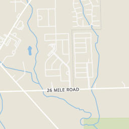
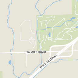
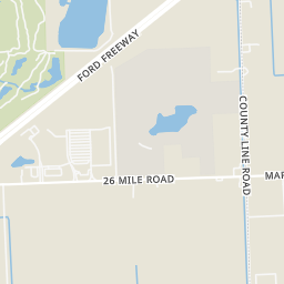
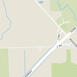
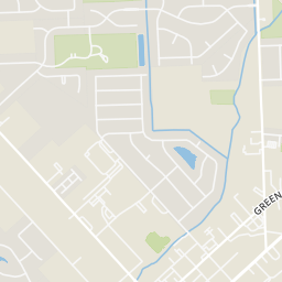
Rings at ½ mile and 1 mile. Basemap © OpenMapTiles © OpenStreetMap contributors.
Open the New Baltimore camera map1 license-plate reader mapped within 1 mile of this home, identified as a Flock Safety device. None within ½ mile. Nearest: 0.6 mi southwest. Operator named in the data: New Baltimore Police Department.
| Device type | Within ½ mi | Within 1 mi |
|---|---|---|
| License-plate readers | 0 | 1 |
| of which Flock Safety | 0 | 1 |
Community-reported via OpenStreetMap; may be incomplete. Data as of . © OpenStreetMap contributors (ODbL)
License-plate readers (ALPR) are fixed cameras that photograph passing vehicles and read their plates. Records are typically shared with the agency or association that operates the camera.
Flock Safety is a company whose plate-reader cameras are used by police departments, cities, HOAs and businesses. Its devices are usually solar-powered and pole-mounted.
Within 2 miles of this home: 12 restaurants and cafés, 1 grocery store, 13 parks and green spaces, and 28 transit stops.
Place data from OpenStreetMap.
Wendy's
Tim Hortons
26 Mile Road
Subway
26 Mile Road
Burger King
Taco Bell
26 Mile Road
Town Pump
Bedford Street
McDonald's
School ratings (A+ to F) from HJN community data.
Lighthouse Elementary School
KG-5 · Regular · Anchor Bay School District
441 students · 17.1:1 student–teacher
Anchor Bay Middle School North
6-8 · Regular · Anchor Bay School District
671 students · 20.4:1 student–teacher
Ashley Elementary School
KG-5 · Regular · Anchor Bay School District
441 students · 16.7:1 student–teacher
Hungry Howie's
Meijer
26 Mile Road
Festival Park
Nature Creek Park
Orchard Lake Park Access
Maynard Memorial Park
Huntley Park
Bertha M. Pollard Park
New Haven Road
Abandoned Baseball Field
25 Mile Park
County Line / Perry (SB)
County Line / Brett (NB)
County Line / Hobarth (SB)
County Line / Hobarth (NB)
26 Mile / Frost (EB)
26 Mile Lenox Meijer
County Line / Woodland (NB)
County Line / Woodland (SB)