31

$299,900
6 bd · 3 ba · 2,765 sqft
292 Forest Park Ave, Springfield, MA
Michael DelGreco · Elite Realty Partners LLC


No listing photos
6
Beds
3
Baths
3,551
Sqft
1915
Year built
Range $187,000 – $277,000 · as of April 1, 2020
ATTOM automated valuation model · 4 published estimates over 0.2 years · shaded band is the model's own published low-to-high range
Highest reading $244,000 in February 2020; lowest $231,000 in March 2020. The vertical scale starts at the series' own low, not at zero — it is drawn to show movement, not absolute size.
$46,400
Estimated monthly payment
$1,594/mo
Loan amount $185,600. Estimate only — your actual rate and payment depend on credit, location, and lender.
2026 roll
MLS Property Information Network (MLS PIN)Some properties which appear for sale on this web site may subsequently have sold or may no longer be available.
31$299,900
6 bd · 3 ba · 2,765 sqft
292 Forest Park Ave, Springfield, MA
Michael DelGreco · Elite Realty Partners LLC
 Price Reduced37
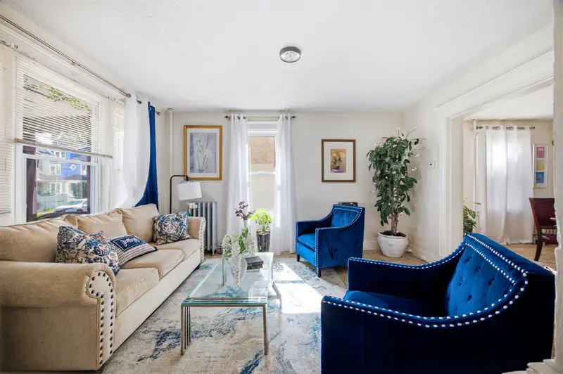
$299,999
7 bd · 2 ba · 1,994 sqft
47 Trafton Rd, Springfield, MA
Nicholas Blais · Lock and Key Realty Inc.
 42
$289,900
5 bd · 2 ba · 1,893 sqft
28 Lyndale St, Springfield, MA
Jenni Madison · Berkshire Hathaway HomeServices Realty Professionals
School ratings (A+ to F) from HJN community data.
Trinity Nursery and Kindergarten
PK-KG · Early Childhood Program/Child Care Center
9 students · 9.0:1 student–teacher
Washington
PK-5 · Regular · Springfield School District
430 students · 11.4:1 student–teacher
Liberty Preparatory Academy
9-12 · Regular · Springfield School District
6 students · 1.6:1 student–teacher
Springfield High School
9-12 · Regular · Springfield School District
237 students · 12.6:1 student–teacher
Rings at ½ mile and 1 mile. Basemap © OpenMapTiles © OpenStreetMap contributors.
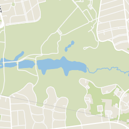
Open the Springfield camera map1 license-plate reader mapped within ½ mile of this home, identified as a Flock Safety device. Nearest: 0.3 mi north. Operator named in the data: Springfield Police.
| Device type | Within ½ mi | Within 1 mi |
|---|---|---|
| License-plate readers | 1 | 3 |
| of which Flock Safety | 1 | 3 |
Community-reported via OpenStreetMap; may be incomplete. Data as of . © OpenStreetMap contributors (ODbL)
License-plate readers (ALPR) are fixed cameras that photograph passing vehicles and read their plates. Records are typically shared with the agency or association that operates the camera.
Flock Safety is a company whose plate-reader cameras are used by police departments, cities, HOAs and businesses. Its devices are usually solar-powered and pole-mounted.
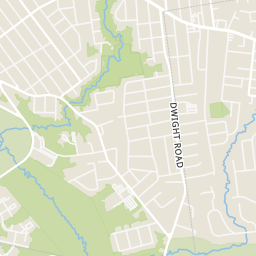
Within 2 miles of this home: 31 restaurants and cafés, 3 grocery stores, 40+ parks and green spaces, and 32+ transit stops.
Place data from OpenStreetMap.
Pizza Works
Dickinson Street
Taco Bell
Sumner Avenue
El Charro
Mexican restaurant · Belmont Avenue
Jack Chen II Restaurant
Chinese restaurant · Sumner Avenue
McDonald's
Main Street
Panera Bread
North Main Street
Pizzaria Uno
Hall of Fame Avenue
Ichiban East Longmeadow
North Main Street
Food Zone
Belmont Avenue
Big Y
North Main Street
Stop & Shop
North Main Street
Mary Shea Park
Valentine Park
Entry Dingle Brook Park
Flag Pole
Forest Park
Porter Lake
Oakland St. Park
Stebbins Park
DICKINSON / TRAFTON
DICKINSON / WASHINGTON
DICKINSON / TRENTON
BELMONT / ORMOND
Belmont/Commonwealth(opposite)
DICKINSON / SUMNER
STATE HWY 83 / BELMONT
BELMONT / HOLLYWOOD