50

$1,449,999
5 bd · 8 ba · — sqft
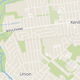
188 Hillside Avenue, Springfield, NJ
SIGNATURE REALTY NJ

No listing photos
—
Beds
—
Baths
5,800
Sqft
2020
Year built
Range $1,489,072 – $1,659,460 · as of August 30, 2026
ATTOM automated valuation model · 54 published estimates over 6.7 years · shaded band is the model's own published low-to-high range
Highest reading $1,742,000 in May 2025; lowest $954,453 in February 2020. The vertical scale starts at the series' own low, not at zero — it is drawn to show movement, not absolute size.
$314,853
Estimated monthly payment
$10,143/mo
Loan amount $1,259,413. Estimate only — your actual rate and payment depend on credit, location, and lender.
2026 roll
Garden State MLSSome properties which appear for sale on this web site may subsequently have sold or may no longer be available.
50$1,449,999
5 bd · 8 ba · — sqft
188 Hillside Avenue, Springfield, NJ
SIGNATURE REALTY NJ
 38
$1,475,000
5 bd · 5 ba · — sqft
136 Irwin Street, Springfield, NJ
COLDWELL BANKER REALTY
 46
$1,299,000
5 bd · 4 ba · — sqft
126 Fieldstone Drive, Springfield, NJ
SERHANT NEW JERSEY LLC
 35
$1,250,000
5 bd · 4 ba · — sqft
22 Woodside Road, Springfield, NJ
COMPASS NEW JERSEY, LLC
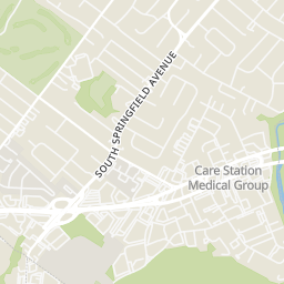
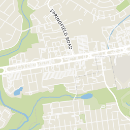
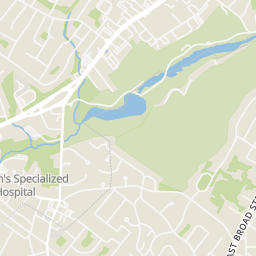
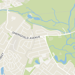
Within 2 miles of this home: 39+ restaurants and cafés, 6 grocery stores, 31 parks and green spaces, and 17 transit stops.
Place data from OpenStreetMap.
The Evergreen Deli
Bagels Supreme
Cathay 22
Chinese restaurant
Saporito
Chipotle
Mexican restaurant · US 22
Five Guys
Route 22 East
TGI Friday's
American restaurant
Checkers
The Leafy Basket
United States Highway 22
Aldi
United States Highway 22
Gold Valley Supermarket
Morris Avenue
ShopRite
US Highway 22 West
Lidl
US 22
Kings
Springfield Veterans Memorial Park
Meisel Avenue Park
Henshaw Playground
Ruby Park
Patriot Park
Irwin Playground
Hidden Valley Park
Lenape Park
Us-22 360'e of Hillside Ave
Us-22 at Brown Ave
Us-22 at Fadam Rd
Us-22 at Lawrence Rd
Us-22 1150'e of Fadam Rd
Us-22 450'e of S Springfield Ave
Us-22 300'e of S Springfield Ave
Us-22 1700'w of Monroe St N
Rings at ½ mile and 1 mile. Basemap © OpenMapTiles © OpenStreetMap contributors.
2 license-plate readers mapped within 1 mile of this home, both identified as Flock Safety devices. None within ½ mile. Nearest: 0.9 mi southeast.
| Device type | Within ½ mi | Within 1 mi |
|---|---|---|
| License-plate readers | 0 | 2 |
| of which Flock Safety | 0 | 2 |
Community-reported via OpenStreetMap; may be incomplete. Data as of . © OpenStreetMap contributors (ODbL)
License-plate readers (ALPR) are fixed cameras that photograph passing vehicles and read their plates. Records are typically shared with the agency or association that operates the camera.
Flock Safety is a company whose plate-reader cameras are used by police departments, cities, HOAs and businesses. Its devices are usually solar-powered and pole-mounted.
School ratings (A+ to F) from HJN community data.
Edward V. Walton Early Childhood Center
PK-2 · Regular · Springfield Township School District
511 students · 13.1:1 student–teacher
Thelma L. Sandmeier Elementary School
3-5 · Regular · Springfield Township School District
276 students · 12.0:1 student–teacher
Florence M. Gaudineer Middle School
6-8 · Regular · Springfield Township School District
474 students · 12.2:1 student–teacher
Jonathan Dayton High School
9-12 · Regular · Springfield Township School District
654 students · 13.8:1 student–teacher
James Caldwell Elementary School
3-5 · Regular · Springfield Township School District
276 students · 13.1:1 student–teacher
Crossroads School
PK-8 · Special Education · Union County Educational Services Commission
52 students · 4.7:1 student–teacher
Primrose School at Mountainside
PK-KG · Early Childhood Program/Child Care Center
21 students · 8.1:1 student–teacher
The Children's Academy
PK-KG · Montessori
2 students · 0.3:1 student–teacher