New49

$275,000
3 bd · 3 ba · 1,380 sqft
28627 Los Olas Drive, Warren, MI
Donald Pauck · Good Company · on 2 MLSs


No listing photos
3
Beds
1.5
Baths
1,162
Sqft
1967
Year built
Range $223,019 – $262,223 · as of August 30, 2026
ATTOM automated valuation model · 54 published estimates over 6.7 years · shaded band is the model's own published low-to-high range
Highest reading $282,523 in July 2025; lowest $171,155 in January 2020. The vertical scale starts at the series' own low, not at zero — it is drawn to show movement, not absolute size.
$48,524
Estimated monthly payment
$1,672/mo
Loan amount $194,097. Estimate only — your actual rate and payment depend on credit, location, and lender.
2026 roll
MiRealSourceSome properties which appear for sale on this web site may subsequently have sold or may no longer be available.
New49$275,000
3 bd · 3 ba · 1,380 sqft
28627 Los Olas Drive, Warren, MI
Donald Pauck · Good Company · on 2 MLSs
 34
$299,990
3 bd · 2 ba · 2,238 sqft
28326 Los Olas Drive, Warren, MI
Eglent Begaj · A.V.A. Real Estate
 26
$234,900
3 bd · 2 ba · 2,455 sqft
12319 E 11 Mile Road, Warren, MI
Sayful Alam · NextDoor Realty Group
 Price Reduced60
$250,000
4 bd · 2 ba · 1,924 sqft
30819 Lund Avenue, Warren, MI
Deborah Malone · Midwest Realty Exchange Inc
 Price Reduced55
$209,000
3 bd · 1 ba · 1,976 sqft
8587 Christine Street, Warren, MI
Mary Rose Olejniczak · Real Estate One Clinton
 Price Reduced27
$225,000
3 bd · 2 ba · 1,265 sqft
8444 Hettenberger Avenue, Warren, MI
Timothy Francisco · Real Estate One-Sterling Heights
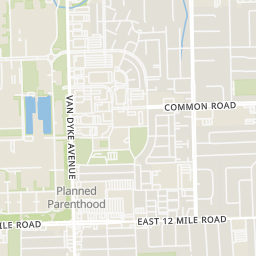
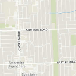
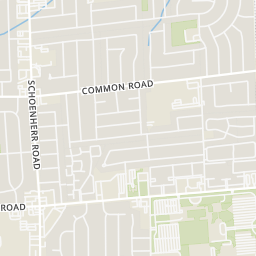
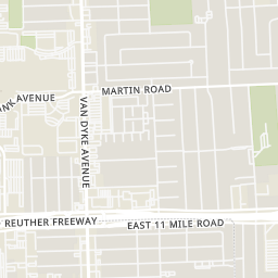
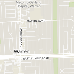
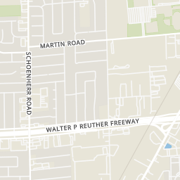
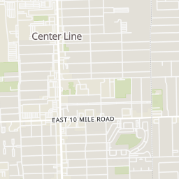
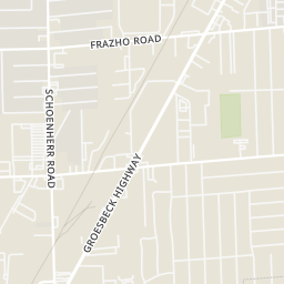
Rings at ½ mile and 1 mile. Basemap © OpenMapTiles © OpenStreetMap contributors.
Open the Warren camera map1 license-plate reader mapped within 1 mile of this home, identified as a Flock Safety device. None within ½ mile. Nearest: 0.7 mi southeast. Operator named in the data: Warren Police Department.
| Device type | Within ½ mi | Within 1 mi |
|---|---|---|
| License-plate readers | 0 | 1 |
| of which Flock Safety | 0 | 1 |
Community-reported via OpenStreetMap; may be incomplete. Data as of . © OpenStreetMap contributors (ODbL)
License-plate readers (ALPR) are fixed cameras that photograph passing vehicles and read their plates. Records are typically shared with the agency or association that operates the camera.
Flock Safety is a company whose plate-reader cameras are used by police departments, cities, HOAs and businesses. Its devices are usually solar-powered and pole-mounted.
School ratings (A+ to F) from HJN community data.
Crothers Elementary School
KG-5 · Regular · Center Line Public Schools
322 students · 16.4:1 student–teacher
Westwood Elementary School
KG-5 · Regular · Warren Woods Public Schools
512 students · 19.8:1 student–teacher
Michigan Mathematics and Science Academy Lorraine
PK-6 · Regular · Michigan Mathematics and Science Academy
181 students · 9.1:1 student–teacher
Frontier International Academy Elementary School
PK-8 · Regular · Frontier International Academy
395 students · 28.2:1 student–teacher
Michigan Islamic Institute
5-12 · Regular
97 students · 3.8:1 student–teacher
Wolfe Middle School
6-8 · Regular · Center Line Public Schools
506 students · 15.2:1 student–teacher
Cromie Elementary School
KG-5 · Regular · Warren Consolidated Schools
598 students · 17.1:1 student–teacher
May V. Peck Elementary School
KG-5 · Regular · Center Line Public Schools
493 students · 15.8:1 student–teacher
Within 2 miles of this home: 37+ restaurants and cafés, 6 grocery stores, 16 parks and green spaces, and 32+ transit stops.
Place data from OpenStreetMap.
Baskin-Robbins
East 12 Mile Road
KFC
Hoover Road
Big Boy
East 12 Mile Road
Burger King
Hoover
American Pie
Teriyaki & Pho Thai
Vietnamese restaurant · Hoover Road
Hungry Howie's
Tim Hortons
Hoover Road
Kroger
Hoover Road
Walmart Supercenter
Van Dyke Avenue
Oakridge Market
Hoover Road
Value Fresh Marketplace
Hoover Road
Meijer
Schoenherr Road
ALDI
Mound Road
Veterans Memorial Park
Rinke Park
Arsenal Avenue
Rentz Park
Licht Park
Clarence A McGrath Park
Burdi Park
Ridgewood Park
Center Line Community Garden
12 Mile / Gilbert (EB)
12 Mile / Gilbert (WB)
12 Mile / Campbell Dr (EB)
12 Mile / Birchcrest (WB)
12 Mile / Hoover (WB)
12 Mile / Hoover (EB)
12 Mile / Gail (EB)
12 Mile / Hoover NS (WB)