
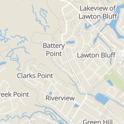
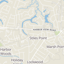
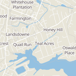
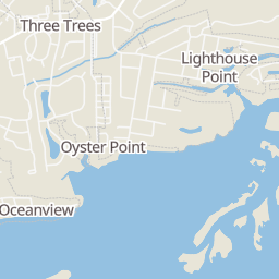
 New39
$925,000
4 bd · 3 ba · 2,440 sqft
910 Parrot Creek Way, Charleston, SC

No listing photos
4
Beds
3.5
Baths
2,741
Sqft
2020
Year built
Range $991,187 – $1,374,397 · as of August 30, 2026
ATTOM automated valuation model · 37 published estimates over 4.3 years · shaded band is the model's own published low-to-high range
Highest reading $1,301,195 in December 2025; lowest $528,250 in June 2022. The vertical scale starts at the series' own low, not at zero — it is drawn to show movement, not absolute size.
$236,558
Estimated monthly payment
$7,566/mo
Loan amount $946,234. Estimate only — your actual rate and payment depend on credit, location, and lender.
2024 roll
School ratings (A+ to F) from HJN community data.
James Island Charter High School
9-12 · Regular · Charleston County School District
1,612 students · 15.3:1 student–teacher
Stiles Point Elementary School
PK-5 · Regular · Charleston County School District
866 students · 17.1:1 student–teacher
Nativity School
PK-8 · Regular
89 students · 7.5:1 student–teacher
Camp Road Middle School
6-8 · Regular · Charleston County School District
901 students · 16.9:1 student–teacher
James Island Elementary School
PK-5 · Regular · Charleston County School District
580 students · 14.2:1 student–teacher
Harbor View Elementary School
PK-5 · Regular · Charleston County School District
621 students · 14.7:1 student–teacher
Murray-LaSaine Montessori School
KG-5 · Regular · Charleston County School District
347 students · 14.2:1 student–teacher
James Island Christian School
PK-8 · Regular
165 students · 10.0:1 student–teacher
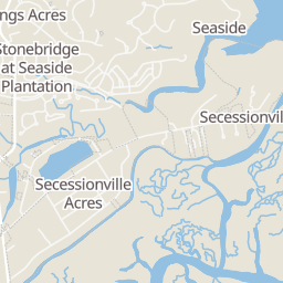
Within 2 miles of this home: 13 restaurants and cafés, 4 grocery stores, 6 parks and green spaces, and 1 transit stop.
Place data from OpenStreetMap.
Edison
International restaurant · Fort Johnson Road
Smolky Yolk Cafe
Camp Road
Paisano's Pizza Grill
Jalisco Taqueria & Tequila
Mexican restaurant · Folly Road
California Tortilla
Mexican restaurant
El Pollo Guapo
Folly Road
The Great Greek Mediterranean Grill
Pick Thai
Thai restaurant · Folly Road
Harris Teeter
Harbor View Road
Walmart Supercenter
Folly Road
Publix
Folly Road
Food Lion
Folly Road
James Island Recreation Complex and Park
Quail Drive
Secessionville Historic District
Stonefield Community Common Ground Park
Thomas Johnson Park
Harborview / Fort Johnson Park
Riverland Woods Pet Park
River Haven Circle
Fort Johnson Rd / Secessionville Rd
Rings at ½ mile and 1 mile. Basemap © OpenMapTiles © OpenStreetMap contributors.
Open the Charleston camera map1 license-plate reader mapped within ½ mile of this home, identified as a Flock Safety device. Nearest: 0.5 mi northeast.
| Device type | Within ½ mi | Within 1 mi |
|---|---|---|
| License-plate readers | 1 | 4 |
| of which Flock Safety | 1 | 4 |
Community-reported via OpenStreetMap; may be incomplete. Data as of . © OpenStreetMap contributors (ODbL)
License-plate readers (ALPR) are fixed cameras that photograph passing vehicles and read their plates. Records are typically shared with the agency or association that operates the camera.
Flock Safety is a company whose plate-reader cameras are used by police departments, cities, HOAs and businesses. Its devices are usually solar-powered and pole-mounted.
Some properties which appear for sale on this web site may subsequently have sold or may no longer be available.
Shannon Deeb · Mac Company, LLC
 CHS Regional MLS (CTAR)


