 Price Reduced50

$340,000
3 bd · 2 ba · 1,566 sqft
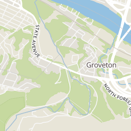
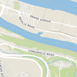
2310 N Forest Grove Road, Robinson Twp, PA
Bill Holden · KELLER WILLIAMS REALTY


No listing photos
3
Beds
1.5
Baths
1,834
Sqft
1940
Year built
Range $252,699 – $282,279 · as of August 30, 2026
ATTOM automated valuation model · 54 published estimates over 6.7 years · shaded band is the model's own published low-to-high range
Highest reading $405,771 in July 2025; lowest $139,746 in April 2020. The vertical scale starts at the series' own low, not at zero — it is drawn to show movement, not absolute size.
$53,498
Estimated monthly payment
$1,843/mo
Loan amount $213,991. Estimate only — your actual rate and payment depend on credit, location, and lender.
2026 roll
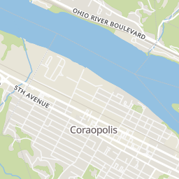
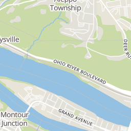
Within 2 miles of this home: 28 restaurants and cafés, 2 grocery stores, 5 parks and green spaces, and 38+ transit stops.
Place data from OpenStreetMap.
Nicco's Pizzeria
5th Avenue
Bob's House of Wings
American restaurant · 5th Avenue
Rea's Restaurant
Ferree Street
Billy's Ice Cream
4th Avenue
The Pizzeria
4th Avenue
Pizza Plaza
5th Avenue
Cheers Entertainment and Sports Lunge
Mulberry Street
Anchor & Anvil Coffee Bar
5th Avenue
Coraopolis Cash Market
4th Avenue
Moon Market & Music
Groveton Park
Bates Park
Thorn Run Conservation Area
Montour Woods Conservation Area
Robin Hill Park
Ferree Street at 4th Avenue
4th Avenue at Coraopolis Bridge FS
5th Avenue at Office Building
4th Avenue opp Arch St
5th Avenue at Chestnut Street FS
4th Avenue at Chestnut St
5th Avenue at Broadway Street
4th Avenue at Broadway St
School ratings (A+ to F) from HJN community data.
Cornell High School
7-12 · Regular · Cornell School District
252 students · 10.5:1 student–teacher
Cornell Elementary School
KG-6 · Regular · Cornell School District
289 students · 9.7:1 student–teacher
Our Lady of the Sacred Heart High School
9-12 · Regular
339 students · 10.6:1 student–teacher
Rings at ½ mile and 1 mile. Basemap © OpenMapTiles © OpenStreetMap contributors.
Open the Coraopolis camera map1 license-plate reader mapped within ½ mile of this home, identified as a Flock Safety device. Nearest: 0.4 mi north.
| Device type | Within ½ mi | Within 1 mi |
|---|---|---|
| License-plate readers | 1 | 1 |
| of which Flock Safety | 1 | 1 |
Community-reported via OpenStreetMap; may be incomplete. Data as of . © OpenStreetMap contributors (ODbL)
License-plate readers (ALPR) are fixed cameras that photograph passing vehicles and read their plates. Records are typically shared with the agency or association that operates the camera.
Flock Safety is a company whose plate-reader cameras are used by police departments, cities, HOAs and businesses. Its devices are usually solar-powered and pole-mounted.
West Penn MultiListSome properties which appear for sale on this web site may subsequently have sold or may no longer be available.
Price Reduced50$340,000
3 bd · 2 ba · 1,566 sqft
2310 N Forest Grove Road, Robinson Twp, PA
Bill Holden · KELLER WILLIAMS REALTY
 Price Reduced35
$309,999
3 bd · 1 ba · 1,426 sqft
160 Rivercrest Dr, Moon/Crescent Twp, PA
Tina Marie Cicero · COMPASS PENNSYLVANIA, LLC
 Price Reduced30
$290,000
4 bd · 3 ba · 1,848 sqft
512 Aten Rd, Findlay Twp, PA
Shari Braithwaite · COMPASS PENNSYLVANIA, LLC
 Price Reduced35
$334,900
4 bd · 2 ba · 1,732 sqft
217 Scottsdale Dr, Moon/Crescent Twp, PA
BreAnn Prude | The Jessica Baker Team · ACHIEVE REALTY, INC.
 26
$324,990
3 bd · 3 ba · 1,879 sqft
187 Elk Ridge Drive, Moon/Crescent Twp, PA
Victoria Salvati · RYAN HOMES (NVR INC.)
 Price Reduced22
$329,990
3 bd · 3 ba · 1,879 sqft
168 Elk Ridge Drive, Moon/Crescent Twp, PA
Victoria Salvati · RYAN HOMES (NVR INC.)