41

$325,000
2 bd · 2 ba · 1,300 sqft
91 Squawfield Rd, Westfield, MA
Debra Scanlon · Park Square Realty

No listing photos
3
Beds
1
Baths
1,311
Sqft
1950
Year built
Range $306,085 – $328,239 · as of October 21, 2026
ATTOM automated valuation model · 55 published estimates over 6.8 years · shaded band is the model's own published low-to-high range
Highest reading $344,250 in February 2026; lowest $202,287 in February 2020. The vertical scale starts at the series' own low, not at zero — it is drawn to show movement, not absolute size.
$63,432
Estimated monthly payment
$2,143/mo
Loan amount $253,730. Estimate only — your actual rate and payment depend on credit, location, and lender.
2026 roll
MLS Property Information Network (MLS PIN)Some properties which appear for sale on this web site may subsequently have sold or may no longer be available.
41$325,000
2 bd · 2 ba · 1,300 sqft
91 Squawfield Rd, Westfield, MA
Debra Scanlon · Park Square Realty
 New40
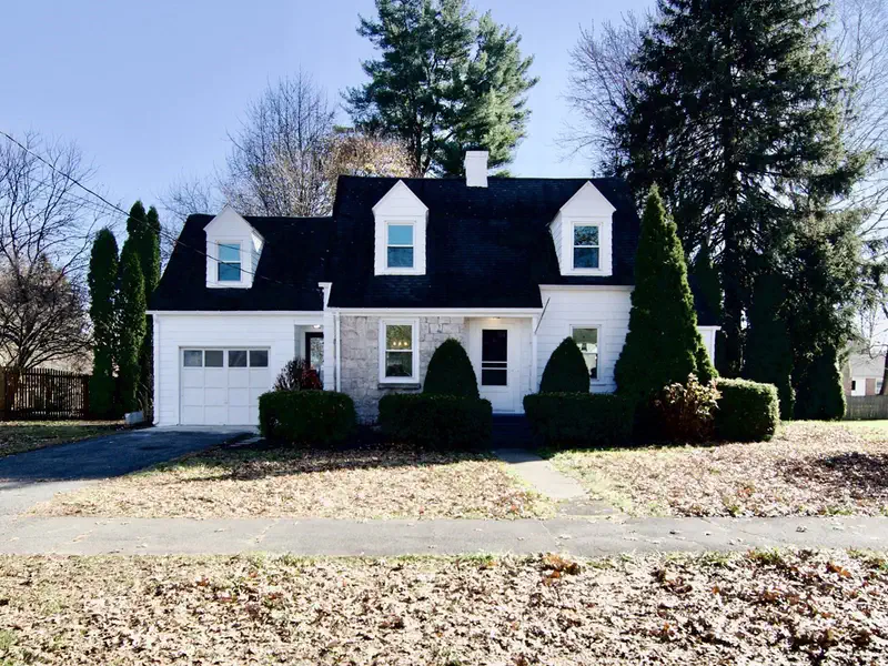
$349,900
3 bd · 1 ba · 1,167 sqft
46 Lindbergh Blvd, Westfield, MA
Tanya Vital Basile · Executive Real Estate, Inc.
 New36
$339,900
2 bd · 1 ba · 1,219 sqft
26 Queen St, Westfield, MA
Joanne Papadimitriou · Coldwell Banker Realty - Western MA
 New23
$304,900
2 bd · 1 ba · 816 sqft
24 Pinewood Ln, Westfield, MA
Hannah Taylor · Park Square Realty
 Price Reduced41
$379,500
3 bd · 2 ba · 1,631 sqft
176 Meadow St, Westfield, MA
Emily Doiron · Naples Realty Group
 32
$365,000
4 bd · 2 ba · 1,580 sqft
8 Morgan Ave, Westfield, MA
Karolina Podolska · Naples Realty Group
School ratings (A+ to F) from HJN community data.
Westfield Technical Academy
9-12 · Vocational Education · Westfield School District
557 students · 9.5:1 student–teacher
Westfield River Elementary School
PK-4 · Regular · Westfield School District
Franklin Avenue Elementary School
KG-4 · Regular · Westfield School District
176 students · 10.7:1 student–teacher
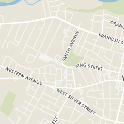
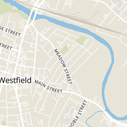
Rings at ½ mile and 1 mile. Basemap © OpenMapTiles © OpenStreetMap contributors.
Open the Westfield camera map1 license-plate reader mapped within 1 mile of this home, identified as a Flock Safety device. None within ½ mile. Nearest: 0.8 mi southeast. Operator named in the data: Westfield Police.
| Device type | Within ½ mi | Within 1 mi |
|---|---|---|
| License-plate readers | 0 | 1 |
| of which Flock Safety | 0 | 1 |
Community-reported via OpenStreetMap; may be incomplete. Data as of . © OpenStreetMap contributors (ODbL)
License-plate readers (ALPR) are fixed cameras that photograph passing vehicles and read their plates. Records are typically shared with the agency or association that operates the camera.
Flock Safety is a company whose plate-reader cameras are used by police departments, cities, HOAs and businesses. Its devices are usually solar-powered and pole-mounted.
Within 2 miles of this home: 38 restaurants and cafés, 3 grocery stores, 39+ parks and green spaces, and 33 transit stops.
Place data from OpenStreetMap.
Feng Ye
Chinese restaurant · Franklin Street
Mi Ranchito Tex-Mex
Mexican restaurant · Franklin Street
Emma's
Italian restaurant · Washington Street
Santiago's
Franklin Street
Valley Pizza
Hangar Pub & Grill Westfield
School Street
Pasquales
Italian restaurant · Elm Street
The Maple Leaf Pub
Arnold Street
Westfield Farmers' Market
Stop & Shop
Main Street
Big Y
East Silver Street
Municipal Playground
Westfield River Access
Grandmothers' Garden
Allen Park
Westfield River
Holcomb Park
Whitney Park
Barbara Swords Park
LATHROP / WESTERN
WESTERN / BIRCH
COURT / CHESTNUT
COURT / MILL
COURT / BATES
COURT / UNNAMED STREET
COURT / WASHINGTON
333 Western Ave