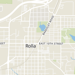
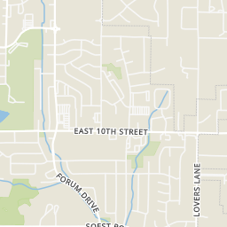
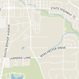
29

$194,900
3 bd · 1 ba · 1,246 sqft
400 Bill Avenue, Rolla, MO
Taylor Friend · EXP Realty, LLC


No listing photos
4
Beds
2
Baths
1,294
Sqft
1996
Year built
Range $199,094 – $263,338 · as of August 30, 2026
ATTOM automated valuation model · 55 published estimates over 6.7 years · shaded band is the model's own published low-to-high range
Highest reading $262,053 in June 2025; lowest $166,756 in April 2020. The vertical scale starts at the series' own low, not at zero — it is drawn to show movement, not absolute size.
$46,243
Estimated monthly payment
$1,599/mo
Loan amount $184,973. Estimate only — your actual rate and payment depend on credit, location, and lender.
2026 roll
MARIS MLSSome properties which appear for sale on this web site may subsequently have sold or may no longer be available.
29$194,900
3 bd · 1 ba · 1,246 sqft
400 Bill Avenue, Rolla, MO
Taylor Friend · EXP Realty, LLC
 Price Reduced27
$192,000
3 bd · 2 ba · 1,394 sqft
508 E 12th Street, Rolla, MO
Yuba Martinez · EXP Realty LLC
 Price Reduced25
$189,900
3 bd · 2 ba · 1,653 sqft
5 Redbud Lane, Rolla, MO
Sasha Spachmann · THE CLOSERS
 31
$174,900
3 bd · 3 ba · 1,838 sqft
1202 Winchester Drive, Rolla, MO
Thomas Chambers · Eagle Realty Group & Associates
 Price Reduced32
$235,000
3 bd · 2 ba · 1,200 sqft
13838 County Road 7020, Rolla, MO
Chayce Switzer · EXP Realty LLC
 Price Reduced44
$267,900
3 bd · 2 ba · 1,584 sqft
906 Laurel Drive, Rolla, MO
Amy Davis · REALTY EXECUTIVES FERRELL ASSOCIATES
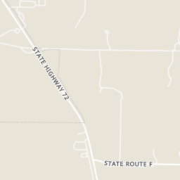
Within 2 miles of this home: 38+ restaurants and cafés, 5 grocery stores, 19 parks and green spaces, and 1 transit stop.
Place data from OpenStreetMap.
Casey's Carry Out Pizza
Subway
Forum Drive
El Maguey
Mexican restaurant · Forum Drive
DiTrapinis
American restaurant
Taco Bell
Highway 72 West
Alex's Pizza Palace
West 8th Street
Public House Brewing Company
North Rolla Street
NaCl + H2O
North Pine Street
Price Chopper
Forum Drive
ALDI
State Highway 72
Kroger
West 4th Street
Walmart Supercenter
South Bishop Avenue
Nature Girls
N Bishop Ave
Coventry Lane Park
Town and Country Park
Ann's Acres Park
Maggi Park
Veterans Memorial Park
Southview Park
Breuer Park
Murry Park
Angus Valley Drive
Rolla (E)
Kingshighway
Rings at ½ mile and 1 mile. Basemap © OpenMapTiles © OpenStreetMap contributors.
Open the Rolla camera map1 license-plate reader mapped within 1 mile of this home, identified as a Flock Safety device. None within ½ mile. Nearest: 0.8 mi north.
| Device type | Within ½ mi | Within 1 mi |
|---|---|---|
| License-plate readers | 0 | 1 |
| of which Flock Safety | 0 | 1 |
Community-reported via OpenStreetMap; may be incomplete. Data as of . © OpenStreetMap contributors (ODbL)
License-plate readers (ALPR) are fixed cameras that photograph passing vehicles and read their plates. Records are typically shared with the agency or association that operates the camera.
Flock Safety is a company whose plate-reader cameras are used by police departments, cities, HOAs and businesses. Its devices are usually solar-powered and pole-mounted.
School ratings (A+ to F) from HJN community data.
Rolla Junior High School
7-8 · Regular · Rolla 31 School District
577 students · 14.0:1 student–teacher
Mark Twain Elementary School
KG-3 · Regular · Rolla 31 School District
440 students · 12.4:1 student–teacher
Rolla Technical Center
11-12 · Vocational Education · Rolla 31 School District
Rolla Middle School
4-6 · Regular · Rolla 31 School District
857 students · 15.9:1 student–teacher
Rolla Seventh-Day Adventist School
4-7 · Regular
6 students · 6.0:1 student–teacher
Rolla Technical Institute
9-12 · Vocational Education · Rolla 31 School District
Rolla High School
9-12 · Regular · Rolla 31 School District
1,398 students · 19.3:1 student–teacher
Harry S. Truman Elementary School
KG-3 · Regular · Rolla 31 School District
448 students · 12.6:1 student–teacher