 Price Reduced27

$619,900
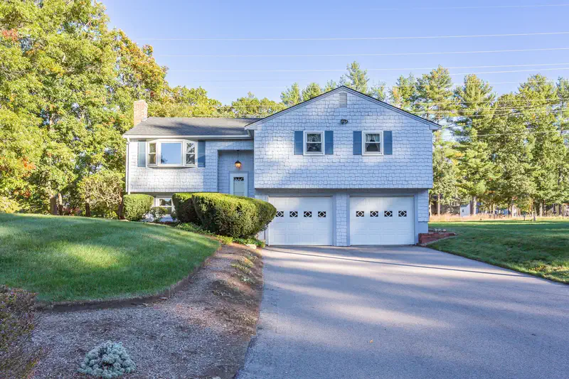
4 bd · 2 ba · 1,948 sqft
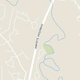
181 Elizabeth Drive, Raynham, MA
Nichole Sliney Realty Team · Nichole Sliney Realty Team


No listing photos
3
Beds
2
Baths
1,728
Sqft
2001
Year built
Range $561,563 – $600,565 · as of August 30, 2026
ATTOM automated valuation model · 54 published estimates over 6.7 years · shaded band is the model's own published low-to-high range
Highest reading $624,304 in December 2024; lowest $370,929 in April 2020. The vertical scale starts at the series' own low, not at zero — it is drawn to show movement, not absolute size.
$116,213
Estimated monthly payment
$3,817/mo
Loan amount $464,851. Estimate only — your actual rate and payment depend on credit, location, and lender.
2025 roll
MLS Property Information Network (MLS PIN)Some properties which appear for sale on this web site may subsequently have sold or may no longer be available.
Price Reduced27$619,900
4 bd · 2 ba · 1,948 sqft
181 Elizabeth Drive, Raynham, MA
Nichole Sliney Realty Team · Nichole Sliney Realty Team
 New1
$699,000
3 bd · 4 ba · 2,189 sqft
660 N Main Street, Raynham, MA
Danielle Milligan · Better Living Real Estate, LLC
 41
$711,000
3 bd · 2 ba · 2,408 sqft
268 Forest St, Raynham, MA
Corey Morris · Keller Williams Realty Signature Properties
 Price Reduced42
$659,000
4 bd · 2 ba · 2,328 sqft
53 Bridge St, Raynham, MA
Kaylee Emerson · JLK Realty
 Price Reduced22
$614,900
3 bd · 2 ba · 2,475 sqft
1531 Broadway, Raynham, MA
Bascom Group · eXp Realty LLC
 11
$519,000
2 bd · 2 ba · 1,671 sqft
121 Oxbow Road #1 Unit 57-1, Raynham, MA
Stacy A. Quinn · Thorndike Development
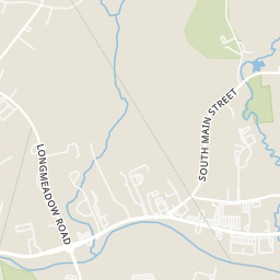
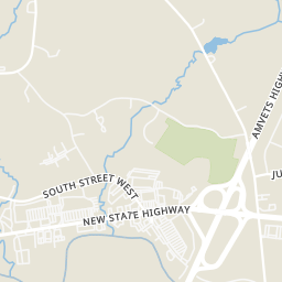
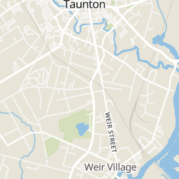
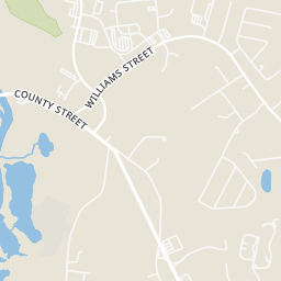
Within 2 miles of this home: 17 restaurants and cafés, 4 grocery stores, 15 parks and green spaces, and 11 transit stops.
Place data from OpenStreetMap.
The Jockey Club
Route 44
Dunkin
Cape Road
McDonald's
Route 44
Papa Gino's
Route 44
Chipotle
Mexican restaurant · New State Highway
Friendly's
American restaurant · Route 44
Taco Bell
D'Angelos
Shaw's
Route 44
ALDI
South Street West
Walmart Supercenter
Paramount Drive
Trucchi's
County Street
Forge River Conservation Area
Borden Colony Recreation Area
Woodland Conservation
Plonka Property
Johnson Pond
Dam Lot Brook Cons. Area
Pine Swamp
Church Green
Stop and Shop (Rear)
Shaws (Rear)
Social Security Office
Taunton High School
School Street and Winter Street
Thomas Apts School Street
Walmart
Morton Hospital
Rings at ½ mile and 1 mile. Basemap © OpenMapTiles © OpenStreetMap contributors.
Open the Raynham camera map1 license-plate reader mapped within ½ mile of this home, identified as a Flock Safety device. Nearest: 0.4 mi southeast.
| Device type | Within ½ mi | Within 1 mi |
|---|---|---|
| License-plate readers | 1 | 2 |
| of which Flock Safety | 1 | 2 |
Community-reported via OpenStreetMap; may be incomplete. Data as of . © OpenStreetMap contributors (ODbL)
License-plate readers (ALPR) are fixed cameras that photograph passing vehicles and read their plates. Records are typically shared with the agency or association that operates the camera.
Flock Safety is a company whose plate-reader cameras are used by police departments, cities, HOAs and businesses. Its devices are usually solar-powered and pole-mounted.
School ratings (A+ to F) from HJN community data.
Elizabeth Pole School
KG-4 · Regular · Taunton School District
635 students · 13.5:1 student–teacher
John F. Parker Middle School
5-7 · Regular · Taunton School District
517 students · 14.9:1 student–teacher
Taunton High School
8-12 · Regular · Taunton School District
2,877 students · 16.6:1 student–teacher