Price Reduced20

$105,000
3 bd · 1 ba · 1,215 sqft
216 Harris St, Warner Robins, GA
Amber Ayers


No listing photos
3
Beds
1.5
Baths
1,299
Sqft
1969
Year built
Range $101,349 – $114,725 · as of August 30, 2026
ATTOM automated valuation model · 54 published estimates over 6.7 years · shaded band is the model's own published low-to-high range
Highest reading $166,500 in September 2025; lowest $38,462 in January 2020. The vertical scale starts at the series' own low, not at zero — it is drawn to show movement, not absolute size.
$21,607
Estimated monthly payment
$809/mo
Loan amount $86,430. Estimate only — your actual rate and payment depend on credit, location, and lender.
2025 roll
Georgia MLSSome properties which appear for sale on this web site may subsequently have sold or may no longer be available.
Price Reduced20$105,000
3 bd · 1 ba · 1,215 sqft
216 Harris St, Warner Robins, GA
Amber Ayers
 1
$99,000
3 bd · 1 ba · 960 sqft
125 Flanders Dr, Warner Robins, GA
William L Hudson · Hudson Realty Inc
 Price Reduced8
$120,000
2 bd · 1 ba · 900 sqft
308 Diggs Blvd, Warner Robins, GA
Jessica Hackney · Southern Classic Realtors
 Price Reduced9
$79,900
2 bd · 2 ba · 998 sqft
103 Westcliff Cir Apt a, Warner Robins, GA
Shawn Meck · Sheridan Solomon & Assoc South
 24
$125,000
3 bd · 2 ba · 1,016 sqft
403 Thomas Blvd, Warner Robins, GA
Sonyetta Rudolph · Golden Key Realty, Inc.
 2
$110,000
3 bd · 2 ba · 1,140 sqft
217 Arnold Blvd, Warner Robins, GA
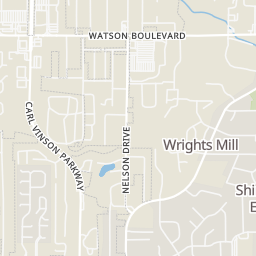
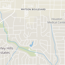
Within 2 miles of this home: 11 restaurants and cafés, 2 grocery stores, and 10 parks and green spaces.
Place data from OpenStreetMap.
Krystal
Watson Boulevard
Church's Chicken
Watson Boulevard
Greek Village
Greek restaurant · Watson Boulevard
Checkers
Chick-fil-A
Watson Boulevard
Wilson's Bakery
Watson Boulevard
McDonald's
Watson Boulevard
Long John Silver's
Walmart Neighborhood Market
North Houston Road
International City Farmer's Market
Green Acres Soccer Fields
North Houston Sports Complex
Walker's Pond
Sewell Circle Park
Bill Peavy Memorial Park
Johnson Road
Briarcliff Park
Wellston Trail
Alex Ferguson Memorial Park
School ratings (A+ to F) from HJN community data.
Northside High School
9-12 · Regular · Houston County School District
1,949 students · 16.3:1 student–teacher
Northside Middle School
6-8 · Regular · Houston County School District
859 students · 13.5:1 student–teacher
Parkwood Primary School
PK-2 · Regular · Houston County School District
683 students · 13.0:1 student–teacher
Rings at ½ mile and 1 mile. Basemap © OpenMapTiles © OpenStreetMap contributors.
Open the Warner Robins camera map2 license-plate readers mapped within ½ mile of this home, both identified as Flock Safety devices. Nearest: 0.4 mi northeast.
| Device type | Within ½ mi | Within 1 mi |
|---|---|---|
| License-plate readers | 2 | 4 |
| of which Flock Safety | 2 | 4 |
| CCTV cameras | 0 | 1 |
Community-reported via OpenStreetMap; may be incomplete. Data as of . © OpenStreetMap contributors (ODbL)
License-plate readers (ALPR) are fixed cameras that photograph passing vehicles and read their plates. Records are typically shared with the agency or association that operates the camera.
Flock Safety is a company whose plate-reader cameras are used by police departments, cities, HOAs and businesses. Its devices are usually solar-powered and pole-mounted.
CCTV cameras are fixed video cameras that record a street, building or other area.