43

$154,900
3 bd · 2 ba · 1,287 sqft
810 Navajo Trail, Covington, GA
ELENA GIST · Keller Williams Buckhead · on 2 MLSs


No listing photos
—
Beds
2
Baths
1,500
Sqft
1971
Year built
Range $96,300 – $145,716 · as of August 30, 2026
ATTOM automated valuation model · 54 published estimates over 6.7 years · shaded band is the model's own published low-to-high range
Highest reading $176,139 in January 2026; lowest $60,158 in March 2025. The vertical scale starts at the series' own low, not at zero — it is drawn to show movement, not absolute size.
$24,202
Estimated monthly payment
$887/mo
Loan amount $96,806. Estimate only — your actual rate and payment depend on credit, location, and lender.
2025 roll
First Multiple Listing Service (FMLS)Some properties which appear for sale on this web site may subsequently have sold or may no longer be available.
School ratings (A+ to F) from HJN community data.
Barksdale Elementary School
PK-5 · Regular · Rockdale County School District
495 students · 11.3:1 student–teacher
Oak Hill Elementary School
PK-5 · Regular · Newton County School District
663 students · 14.2:1 student–teacher
Young Americans Christian School
PK-12 · Regular
424 students · 15.1:1 student–teacher
West Newton Elementary School
PK-5 · Regular · Newton County School District
698 students · 15.4:1 student–teacher
Veterans Middle School
6-8 · Regular · Newton County School District
637 students · 13.1:1 student–teacher
Hills Academy
4-12 · Regular
79 students · 8.7:1 student–teacher
Honey Creek Elementary School
PK-5 · Regular · Rockdale County School District
471 students · 11.9:1 student–teacher
Salem High School
9-12 · Regular · Rockdale County School District
1,118 students · 16.7:1 student–teacher
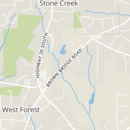
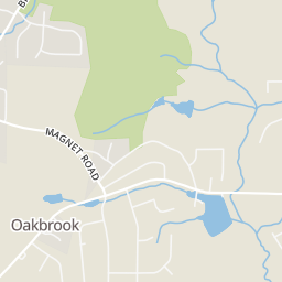
Within 2 miles of this home: 3 restaurants and cafés, 1 grocery store, and 1 park or green space.
Place data from OpenStreetMap.
Pippins BQ
Sonic
Highway 20 SE
World of Wings
Highway 20 S
Kroger
Highway 20 South
Dickson Lake
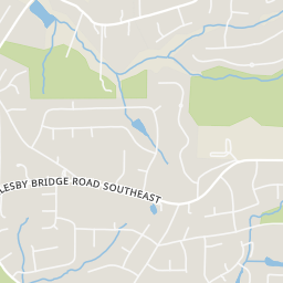
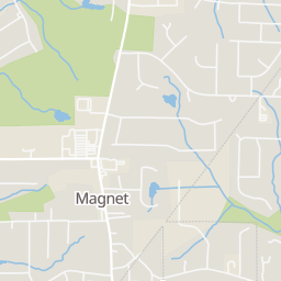
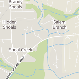
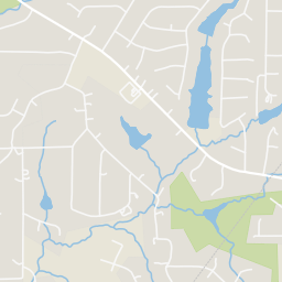
Rings at ½ mile and 1 mile. Basemap © OpenMapTiles © OpenStreetMap contributors.
Open the Covington camera map2 license-plate readers mapped within ½ mile of this home, both identified as Flock Safety devices. Nearest: 0.2 mi west.
| Device type | Within ½ mi | Within 1 mi |
|---|---|---|
| License-plate readers | 2 | 3 |
| of which Flock Safety | 2 | 3 |
Community-reported via OpenStreetMap; may be incomplete. Data as of . © OpenStreetMap contributors (ODbL)
License-plate readers (ALPR) are fixed cameras that photograph passing vehicles and read their plates. Records are typically shared with the agency or association that operates the camera.
Flock Safety is a company whose plate-reader cameras are used by police departments, cities, HOAs and businesses. Its devices are usually solar-powered and pole-mounted.