Price Reduced22
$899,000
4 bd · 2 ba · 1,731 sqft
108 Langdon Ave, Watertown, MA


No listing photos
3
Beds
1.5
Baths
1,176
Sqft
1951
Year built
Range $739,678 – $952,830 · as of August 30, 2026
ATTOM automated valuation model · 54 published estimates over 6.7 years · shaded band is the model's own published low-to-high range
Highest reading $924,249 in July 2025; lowest $563,128 in April 2020. The vertical scale starts at the series' own low, not at zero — it is drawn to show movement, not absolute size.
$169,251
Estimated monthly payment
$5,580/mo
Loan amount $677,003. Estimate only — your actual rate and payment depend on credit, location, and lender.
2026 roll
School ratings (A+ to F) from HJN community data.
Watertown High School
9-12 · Regular · Watertown School District
761 students · 11.1:1 student–teacher
Jewish Community Day School, Inc Dba Jcds Bostons
KG-8 · Regular
192 students · 6.5:1 student–teacher
Watertown Middle School
6-8 · Regular · Watertown School District
583 students · 10.8:1 student–teacher
Cunniff Elementary School
KG-5 · Regular · Watertown School District
320 students · 8.0:1 student–teacher
Horace Mann Elementary School
KG-5 · Regular · Newton School District
351 students · 10.5:1 student–teacher
Lincoln-Eliot Elementary School
KG-5 · Regular · Newton School District
336 students · 9.4:1 student–teacher
Clearway School
7-12 · Special Education
39 students · 4.5:1 student–teacher
Dearborn Academy
4-12 · Special Education
44 students · 3.4:1 student–teacher
Some properties which appear for sale on this web site may subsequently have sold or may no longer be available.
Bob Airasian · Coldwell Banker Realty - Belmont
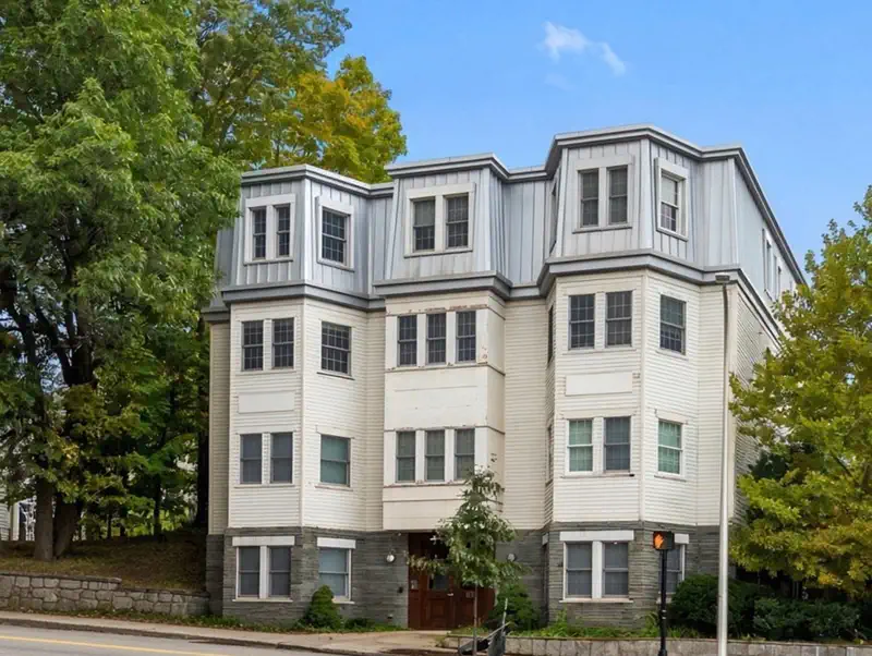 Price Reduced37

$649,900
2 bd · 2 ba · 1,020 sqft
69 Galen St #3, Watertown, MA
Friel Team · FrielEstate
MLS Property Information Network (MLS PIN)Rings at ½ mile and 1 mile. Basemap © OpenMapTiles © OpenStreetMap contributors.
Open the Watertown camera map2 license-plate readers mapped within 1 mile of this home, both identified as Flock Safety devices. None within ½ mile. Nearest: 0.6 mi northwest. Operator named in the data: Waltham Police Department.
| Device type | Within ½ mi | Within 1 mi |
|---|---|---|
| License-plate readers | 0 | 2 |
| of which Flock Safety | 0 | 2 |
Community-reported via OpenStreetMap; may be incomplete. Data as of . © OpenStreetMap contributors (ODbL)
License-plate readers (ALPR) are fixed cameras that photograph passing vehicles and read their plates. Records are typically shared with the agency or association that operates the camera.
Flock Safety is a company whose plate-reader cameras are used by police departments, cities, HOAs and businesses. Its devices are usually solar-powered and pole-mounted.
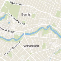
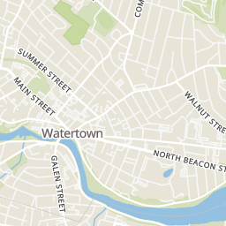
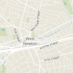
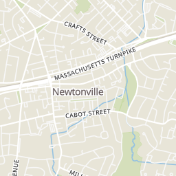
Within 2 miles of this home: 38+ restaurants and cafés, 10 grocery stores, 39+ parks and green spaces, and 35+ transit stops.
Place data from OpenStreetMap.
Gigi's Pizza Co
Waltham Street
KOKO Bakery
California Street
Sakanaya Boston
California Street
Dunkin
Main Street
Little Family Pizza
Pleasant Street
McDonald's
California Street
West on Main
Main Street
India Kitchen
Indian restaurant · Lexington Street
Stop & Shop
Watertown Street
La Guanaquita Market
Main Street
Whole Foods Market
Washington Street
Shaw's
Star Market
Austin Street
Trader Joe's
Washington Street
Waltham India Market
Moody Street
Patel Brothers
Indian restaurant · Moody Street
552 Main Street Playground
Bemis Park
Forte Park
How Park
Charles River
Cannalonga Park
Moxley Park
Westminster Avenue
Stearns Park
Main St @ Pilgrim Road
Main St @ Gilbert St
Pleasant St @ Bridge St
Main St @ Olney St
Main St @ Oakland St
590 Main St opp Herson St
California St @ Bridge St
Main St @ Howard St