

 Price Reduced33

$397,000
3 bd · 2 ba · 2,032 sqft
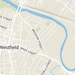
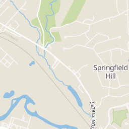
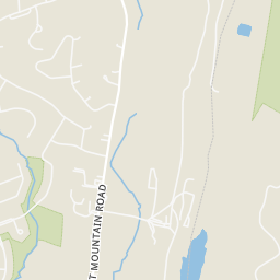
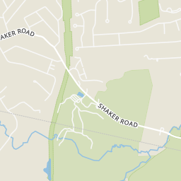
112 Franklin St, Westfield, MA
Victoria Minella-Sena · Berkshire Hathaway HomeServices Realty Professionals


No listing photos
4
Beds
2
Baths
1,762
Sqft
1961
Year built
Range $500,076 – $586,880 · as of October 21, 2026
ATTOM automated valuation model · 55 published estimates over 6.8 years · shaded band is the model's own published low-to-high range
Highest reading $573,198 in July 2026; lowest $325,478 in March 2020. The vertical scale starts at the series' own low, not at zero — it is drawn to show movement, not absolute size.
$108,696
Estimated monthly payment
$3,560/mo
Loan amount $434,782. Estimate only — your actual rate and payment depend on credit, location, and lender.
2026 roll
School ratings (A+ to F) from HJN community data.
Munger Hill Elementary School
KG-4 · Regular · Westfield School District
320 students · 10.6:1 student–teacher
Westfield Middle School
7-8 · Regular · Westfield School District
671 students · 11.7:1 student–teacher
Fort Meadow Early Childhood Center
PK-PK · Regular · Westfield School District
162 students · 20.1:1 student–teacher
Abner Gibbs Elementary School
KG-4 · Regular · Westfield School District
196 students · 10.8:1 student–teacher
St Marys Parish School
PK-8 · Regular
203 students · 8.8:1 student–teacher
St Mary's Parish School - Secondary School
9-12 · Regular
103 students · 9.1:1 student–teacher
Paper Mill Elementary School
KG-4 · Regular · Westfield School District
312 students · 11.2:1 student–teacher
Westfield River Elementary School
PK-4 · Regular · Westfield School District
Rings at ½ mile and 1 mile. Basemap © OpenMapTiles © OpenStreetMap contributors.
Open the Westfield camera map1 license-plate reader mapped within ½ mile of this home, identified as a Flock Safety device. Nearest: 0.4 mi southeast. Operator named in the data: Westfield Police.
| Device type | Within ½ mi | Within 1 mi |
|---|---|---|
| License-plate readers | 1 | 3 |
| of which Flock Safety | 1 | 1 |
Community-reported via OpenStreetMap; may be incomplete. Data as of . © OpenStreetMap contributors (ODbL)
License-plate readers (ALPR) are fixed cameras that photograph passing vehicles and read their plates. Records are typically shared with the agency or association that operates the camera.
Flock Safety is a company whose plate-reader cameras are used by police departments, cities, HOAs and businesses. Its devices are usually solar-powered and pole-mounted.
MLS Property Information Network (MLS PIN)Some properties which appear for sale on this web site may subsequently have sold or may no longer be available.
Price Reduced33$397,000
3 bd · 2 ba · 2,032 sqft
112 Franklin St, Westfield, MA
Victoria Minella-Sena · Berkshire Hathaway HomeServices Realty Professionals
 42
$469,900
3 bd · 2 ba · 2,040 sqft
4 Old Quarry Rd, Westfield, MA
The Bay State Team · REMAX Connections
 32
$569,900
4 bd · 3 ba · 2,854 sqft
14 Oakcrest Dr, Westfield, MA
Eve Crampton · Berkshire Hathaway HomeServices Realty Professionals
 Price Reduced42
$584,900
3 bd · 3 ba · 2,748 sqft
537 Southwick Rd, Westfield, MA
Rodney Motta · Berkshire Hathaway Home Service New England Properties
 31
$489,900
4 bd · 2 ba · 1,516 sqft
53 Glenwood Dr, Westfield, MA
Kaitlyn Moriarty · Keller Williams Realty
 Price Reduced40
$600,000
3 bd · 3 ba · 2,058 sqft
96 Western Ave, Westfield, MA
Amy Lapierre · Coldwell Banker Realty - Western MA
Within 2 miles of this home: 39+ restaurants and cafés, 6 grocery stores, 28 parks and green spaces, and 34 transit stops.
Place data from OpenStreetMap.
Moe's Southwest Grill
Mexican restaurant · East Main Street
Tin Bridge Brewing Company
East Main Street
Applebee's
American restaurant · East Main Street
Chipotle
Mexican restaurant
McDonald's
East Main Street
KFC
Friendly's
American restaurant · East Main Street
Panda House
Chinese restaurant
Price Rite
Big Y
ALDI
Walmart Supercenter
Springfield Road
Stop & Shop
Main Street
Westfield Farmers' Market
Steiger Drive Recreation Area
Mary Noble Wildlife Sanctuary
Mungo Cow Pasture Conservation Area
Shaker Road Water Department Land
Little River Flood Control
Columbia Greenway Rail Trail
Westfield Properties
Water Line
Westfield Shops
MAIN / WESTFIELD STREET SHOPS DRIVE
MAIN / DELMONT
MAIN / DRIVEWAY
MAIN / US HWY 20
NOBLE / SILVER
NOBLE / MURPHY
SPRINGFIELD / MAIN