New27
$475,000
2 bd · 1 ba · 1,096 sqft
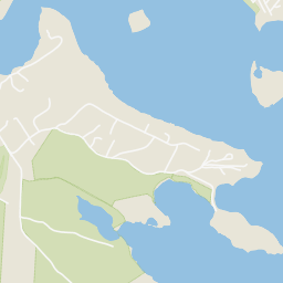
7 Galavotti Ave, Wareham, MA


No listing photos
3
Beds
1
Baths
994
Sqft
1966
Year built
Range $417,160 – $496,080 · as of August 30, 2026
ATTOM automated valuation model · 54 published estimates over 6.7 years · shaded band is the model's own published low-to-high range
Highest reading $602,295 in June 2025; lowest $290,304 in October 2023. The vertical scale starts at the series' own low, not at zero — it is drawn to show movement, not absolute size.
$91,324
Estimated monthly payment
$3,045/mo
Loan amount $365,296. Estimate only — your actual rate and payment depend on credit, location, and lender.
2025 roll
School ratings (A+ to F) from HJN community data.
Christopher Donovan Day School- Inc
12-12 · Special Education
1 students · 0.5:1 student–teacher
Minot Forest Elementary
3-4 · Regular · Wareham School District
912 students · 12.8:1 student–teacher
Wareham Cooperative Alternative School
9-12 · Regular · Wareham School District
39 students · 14.2:1 student–teacher
Wareham High School
9-12 · Regular · Wareham School District
533 students · 8.6:1 student–teacher
Wareham Middle School
5-8 · Regular · Wareham School District
432 students · 11.4:1 student–teacher
John W. Decas Elementary
KG-2 · Regular · Wareham School District
Bourne High School
9-12 · Regular · Bourne School District
341 students · 9.5:1 student–teacher
Bourne Intermediate School
3-5 · Regular · Bourne School District
359 students · 10.3:1 student–teacher
Some properties which appear for sale on this web site may subsequently have sold or may no longer be available.
Julie Johnson · eXp Realty LLC
 MLS Property Information Network (MLS PIN)
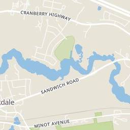
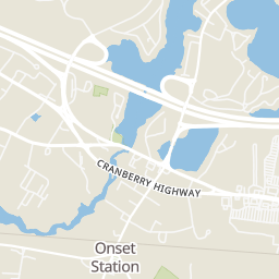
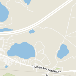
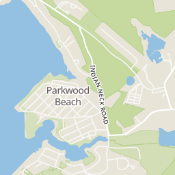
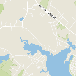
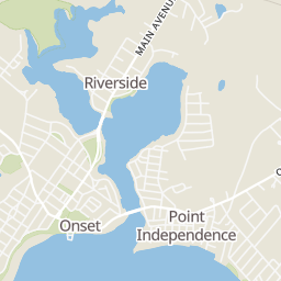
Within 2 miles of this home: 7 restaurants and cafés, 1 grocery store, 20+ parks and green spaces, and 4 transit stops.
Place data from OpenStreetMap.
The Deli at Onset Bay
Onset Avenue
Marc Anthony's La Pizzeria
Chili's
Cranberry Highway
Santoros Pizza & Subs
China Chef
Chinese restaurant
Subway
Cranberry Highway
McDonald's
Cranberry Highway
Stop & Shop
Cranberry Highway
Woods at Great Neck
Minot-Weld Conservancy
Wildlands Trust - Great Neck Conservation Area
Longwood Park
Conservation Land
New England Forestry Foundation
Popes Pond
Wabassa Park
Onset Village/Onset Center
Onset Pier
Cranberry Plaza
Agawam Village
Rings at ½ mile and 1 mile. Basemap © OpenMapTiles © OpenStreetMap contributors.
Open the Wareham camera map1 license-plate reader mapped within 1 mile of this home, identified as a Flock Safety device. None within ½ mile. Nearest: 1.0 mi east. Operator named in the data: Wareham Police.
| Device type | Within ½ mi | Within 1 mi |
|---|---|---|
| License-plate readers | 0 | 1 |
| of which Flock Safety | 0 | 1 |
Community-reported via OpenStreetMap; may be incomplete. Data as of . © OpenStreetMap contributors (ODbL)
License-plate readers (ALPR) are fixed cameras that photograph passing vehicles and read their plates. Records are typically shared with the agency or association that operates the camera.
Flock Safety is a company whose plate-reader cameras are used by police departments, cities, HOAs and businesses. Its devices are usually solar-powered and pole-mounted.