

 5

$300,000
7 bd · 2 ba · 2,281 sqft
246 Walnut St, Springfield, MA
The Hamre Martin Team · Real Broker MA, LLC


No listing photos
7
Beds
6.5
Baths
5,673
Sqft
1902
Year built
Range $300,242 – $317,096 · as of August 30, 2026
ATTOM automated valuation model · 54 published estimates over 6.7 years · shaded band is the model's own published low-to-high range
Highest reading $431,041 in April 2026; lowest $218,884 in September 2023. The vertical scale starts at the series' own low, not at zero — it is drawn to show movement, not absolute size.
$61,734
Estimated monthly payment
$2,109/mo
Loan amount $246,935. Estimate only — your actual rate and payment depend on credit, location, and lender.
2025 roll
School ratings (A+ to F) from HJN community data.
Emergence Academy
6-11 · Regular · Springfield School District
382 students · 12.1:1 student–teacher
High School of Commerce
9-12 · Regular · Springfield School District
966 students · 10.9:1 student–teacher
Conservatory of the Arts
6-12 · Regular · Springfield School District
296 students · 10.5:1 student–teacher
Within 2 miles of this home: 34+ restaurants and cafés, 9 grocery stores, 40+ parks and green spaces, and 28+ transit stops.
Place data from OpenStreetMap.
Blake House Cafe
Edwards Street
Raíces Restaurant
Spanish restaurant · Main Street
Wahlburgers
Main Street
Red Rose Pizzeria
Italian restaurant · Main Street
The Chandler Steakhouse
Cal Mare
Crown Fried Chicken
Main Street
Knox Bar
America's Fodd Basket
State Street
Dollar Plus Value Discount
State Street
Happy Man Freeze Dried
The Urban Food Brood
Albany Street
Urban Artisan Farm
Save-A-Lot
Food Zone
Belmont Avenue
Big Y
Barrows Playgound
Armory Square
Merrick Park
Federal Square
Dr. Seuss National Memorial Sculpture Garden
Yertle Garden
Kibbe Triangle
Pynchon Park
Verizon Building
STATE / WALNUT
Commerce High School (opposite)
WALNUT / UNION
WALNUT / OAK
Commerce High School
WALNUT / CHARTER
State/Spring
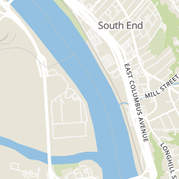
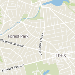
Rings at ½ mile and 1 mile. Basemap © OpenMapTiles © OpenStreetMap contributors.
Open the Springfield camera map3 license-plate readers mapped within ½ mile of this home, all identified as Flock Safety devices. Nearest: 0.3 mi north. Operator named in the data: Springfield Police.
| Device type | Within ½ mi | Within 1 mi |
|---|---|---|
| License-plate readers | 3 | 23 |
| of which Flock Safety | 3 | 23 |
| CCTV cameras | 0 | 1 |
Community-reported via OpenStreetMap; may be incomplete. Data as of . © OpenStreetMap contributors (ODbL)
License-plate readers (ALPR) are fixed cameras that photograph passing vehicles and read their plates. Records are typically shared with the agency or association that operates the camera.
Flock Safety is a company whose plate-reader cameras are used by police departments, cities, HOAs and businesses. Its devices are usually solar-powered and pole-mounted.
CCTV cameras are fixed video cameras that record a street, building or other area.
MLS Property Information Network (MLS PIN)Some properties which appear for sale on this web site may subsequently have sold or may no longer be available.