 53

$750,000
4 bd · 2 ba · 2,464 sqft
18 Kenberton Drive, Pleasant Ridge, MI


No listing photos
3
Beds
2.5
Baths
2,495
Sqft
1950
Year built
Range $768,974 – $836,522 · as of August 30, 2026
ATTOM automated valuation model · 54 published estimates over 6.7 years · shaded band is the model's own published low-to-high range
Highest reading $1,024,567 in July 2024; lowest $528,824 in January 2020. The vertical scale starts at the series' own low, not at zero — it is drawn to show movement, not absolute size.
$160,550
Estimated monthly payment
$5,299/mo
Loan amount $642,198. Estimate only — your actual rate and payment depend on credit, location, and lender.
2025 roll
School ratings (A+ to F) from HJN community data.
University High School
9-12 · Regular · Ferndale Public Schools
469 students · 21.8:1 student–teacher
St Mary Catholic School
PK-8 · Regular
226 students · 11.9:1 student–teacher
St Paul Lutheran School
PK-5 · Regular
52 students · 7.4:1 student–teacher
Edison
KG-12 · Special Education · Hazel Park City School District
65 students · 7.1:1 student–teacher
John F. Kennedy Elementary School
3-5 · Regular · Ferndale Public Schools
501 students · 16.6:1 student–teacher
Roosevelt Primary School
KG-2 · Regular · Ferndale Public Schools
517 students · 16.6:1 student–teacher
Ferndale Montessori Center
PK-KG · Montessori
10 students · 2.5:1 student–teacher
Webb Elementary School
PK-5 · Regular · Hazel Park City School District
328 students · 11.5:1 student–teacher
Within 2 miles of this home: 40+ restaurants and cafés, 14 grocery stores, 40+ parks and green spaces, and 39+ transit stops.
Place data from OpenStreetMap.
Whistle Stop Diner
Woodward Avenue
Cork Wine Pub
North Woodward Avenue
The Yogurt Station
Woodward Avenue
Royal Oak Roast
Woodward Avenue
Tony's Sports Bar
Woodward Avenue
Jim Brady's Detroit
American restaurant · South Main Street
Detroit Cookie Company
Woodward Avenue
Ye Olde Saloon
South Main Street
Holiday Market
South Main Street
Ferndale Foods
West 9 Mile Road
Western Market
West Nine Mile
Organic Food & Vitamin Center
West 9 Mile Road
Natural Food Patch
West 9 Mile Road
Fresh Approach
South Campbell Road
Nutrifoods Health Food
Royal Oak Farmers Market
Memorial Park
Woodward Avenue
Woodward Greenbelt Parks
Stephenson Park
Pleasant Ridge Dog Park
Frank Wendland Park
Ilene Lanfear Memorial Playground
Gainsboro Park
Oakridge Park
Woodward / Wellesley NS (NB)
Woodward / Elm Park NS (SB)
Woodward / Sylvan (NB)
Woodward / Main (NB)
Woodward / Millington (SB)
Flock Safety Surveillance Camera
Woodward / Oakland Park (SB)
Woodward / Woodward Heights NS (NB)
East 11 Mile Road
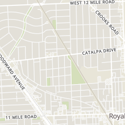
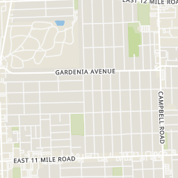
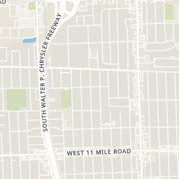
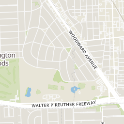
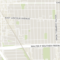
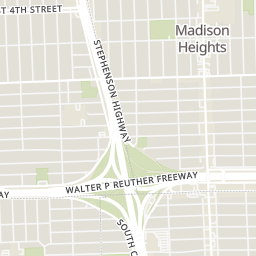
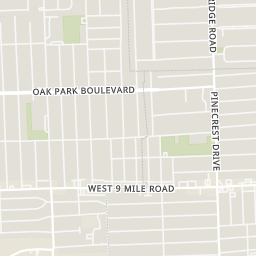
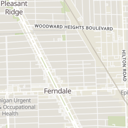
Rings at ½ mile and 1 mile. Basemap © OpenMapTiles © OpenStreetMap contributors.
Open the Pleasant Ridge camera map4 license-plate readers mapped within ½ mile of this home, all identified as Flock Safety devices. Nearest: 0.2 mi south. Operators named in the data: Ferndale Police Department and Royal Oak Police Department.
| Device type | Within ½ mi | Within 1 mi |
|---|---|---|
| License-plate readers | 4 | 6 |
| of which Flock Safety | 4 | 6 |
Community-reported via OpenStreetMap; may be incomplete. Data as of . © OpenStreetMap contributors (ODbL)
License-plate readers (ALPR) are fixed cameras that photograph passing vehicles and read their plates. Records are typically shared with the agency or association that operates the camera.
Flock Safety is a company whose plate-reader cameras are used by police departments, cities, HOAs and businesses. Its devices are usually solar-powered and pole-mounted.
MiRealSourceSome properties which appear for sale on this web site may subsequently have sold or may no longer be available.

