New37
$269,900
3 bd · 3 ba · 1,420 sqft
420 Union Station Street, Cartersville, GA


No listing photos
3
Beds
2
Baths
1,825
Sqft
1962
Year built
Range $296,896 – $343,454 · as of August 30, 2026
ATTOM automated valuation model · 53 published estimates over 6.7 years · shaded band is the model's own published low-to-high range
Highest reading $375,403 in March 2023; lowest $188,815 in March 2020. The vertical scale starts at the series' own low, not at zero — it is drawn to show movement, not absolute size.
$64,035
Estimated monthly payment
$2,184/mo
Loan amount $256,140. Estimate only — your actual rate and payment depend on credit, location, and lender.
2025 roll
School ratings (A+ to F) from HJN community data.
Trinity School of Cartersville
PK-KG · Early Childhood Program/Child Care Center
5 students · 5.0:1 student–teacher
Cartersville Elementary School
3-5 · Regular · Cartersville City School District
629 students · 14.2:1 student–teacher
Rollins Child Development Center
PK-KG · Early Childhood Program/Child Care Center
7 students · 0.4:1 student–teacher
Cartersville High School
9-12 · Regular · Cartersville City School District
1,469 students · 15.4:1 student–teacher
Cartersville Middle School
6-8 · Regular · Cartersville City School District
1,081 students · 16.8:1 student–teacher
Woodland High School
9-12 · Regular · Bartow County School District
1,456 students · 16.3:1 student–teacher
Red Top Middle School
6-8 · Regular · Bartow County School District
569 students · 13.1:1 student–teacher
Cartersville Primary School
PK-2 · Regular · Cartersville City School District
1,507 students · 14.0:1 student–teacher
Some properties which appear for sale on this web site may subsequently have sold or may no longer be available.
Renee Bissell · Keller Williams Rlty Consultants
 First Multiple Listing Service (FMLS)
 Georgia MLS
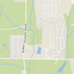
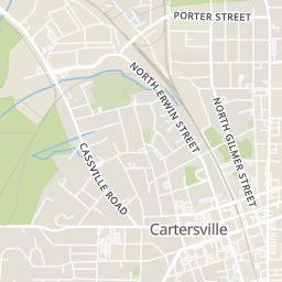
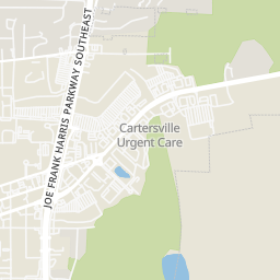
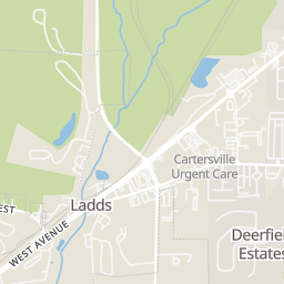
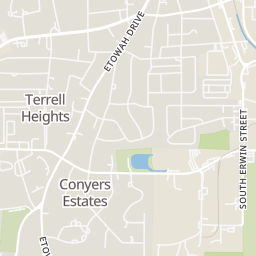
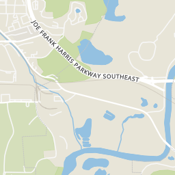
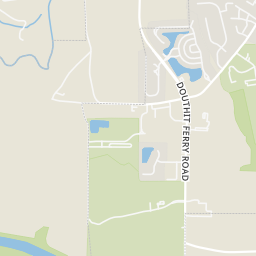
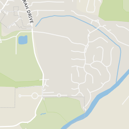
Within 2 miles of this home: 39+ restaurants and cafés, 4 grocery stores, and 9 parks and green spaces.
Place data from OpenStreetMap.
Agan's Bakery
West Main Street
Nagel's Bagels
West Main Street
The Local Bar & Grill
South Erwin Street
Southern Muggs
West Main Street
Jefferson's
West Main Street
Maine Street Coastal Cuisine
West Main Street
Old Havana Cigar Bar
West Main Street
Hippie Donuts
South Tennessee Street
Ingles
West Avenue
Publix
Cherokee Place
Aldi
Rowland Springs Road
Kroger Marketplace
Main Street Market Place SE
Rotary Park
Fite Street
Old Mill Park
Clarence Benham Park
Jones Street
Deerfield Park
Pine Grove Road
Northtowne Park
Douglas Street
Matthew Hill Park
Aubrey Street
Dellinger Lake
Dellinger Park
Pine Grove Road
Rings at ½ mile and 1 mile. Basemap © OpenMapTiles © OpenStreetMap contributors.
Open the Cartersville camera map2 license-plate readers mapped within 1 mile of this home, both identified as Flock Safety devices. None within ½ mile. Nearest: 0.9 mi east.
| Device type | Within ½ mi | Within 1 mi |
|---|---|---|
| License-plate readers | 0 | 2 |
| of which Flock Safety | 0 | 2 |
Community-reported via OpenStreetMap; may be incomplete. Data as of . © OpenStreetMap contributors (ODbL)
License-plate readers (ALPR) are fixed cameras that photograph passing vehicles and read their plates. Records are typically shared with the agency or association that operates the camera.
Flock Safety is a company whose plate-reader cameras are used by police departments, cities, HOAs and businesses. Its devices are usually solar-powered and pole-mounted.