15
$410,000
2 bd · 1 ba · 710 sqft
2396 S Linley Ct, Denver, CO
Sophia Young · on 2 MLSs


No listing photos
3
Beds
2
Baths
1,681
Sqft
1956
Year built
Range $446,562 – $474,828 · as of August 30, 2026
ATTOM automated valuation model · 54 published estimates over 6.7 years · shaded band is the model's own published low-to-high range
Highest reading $525,477 in January 2026; lowest $295,317 in January 2020. The vertical scale starts at the series' own low, not at zero — it is drawn to show movement, not absolute size.
$92,139
Estimated monthly payment
$3,071/mo
Loan amount $368,556. Estimate only — your actual rate and payment depend on credit, location, and lender.
2025 roll
School ratings (A+ to F) from HJN community data.
Johnson Elementary School
EE-5 · Regular · Denver County School District 1
294 students · 15.6:1 student–teacher
Excel Academy
9-12 · Alternative/Other · Denver County School District 1
227 students · 18.4:1 student–teacher
Charles M. Schenck Community School
KG-5 · Regular · Denver County School District 1
339 students · 15.2:1 student–teacher
Respect Academy
9-12 · Alternative/Other · Denver County School District 1
99 students · 13.4:1 student–teacher
Strive Prep - Westwood
6-8 · Regular · Denver County School District 1
411 students · 15.2:1 student–teacher
Compass Academy Middle School
6-8 · Regular · Denver County School District 1
200 students · 11.1:1 student–teacher
Rocky Mountain Preparatory Smart
9-12 · Regular · Denver County School District 1
604 students · 10.3:1 student–teacher
Abraham Lincoln High School
9-12 · Regular · Denver County School District 1
965 students · 13.3:1 student–teacher
Some properties which appear for sale on this web site may subsequently have sold or may no longer be available.
 IRES MLS
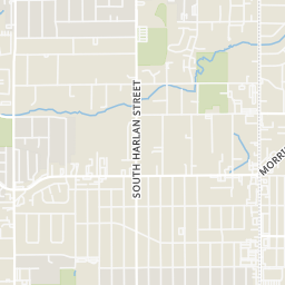
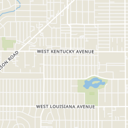
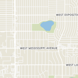
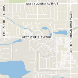
Rings at ½ mile and 1 mile. Basemap © OpenMapTiles © OpenStreetMap contributors.
Open the Denver camera map7 devices mapped within 1 mile of this home: 5 license-plate readers and 2 gunshot detectors; one of them identified as a Flock Safety device. None within ½ mile. Nearest: 0.6 mi southeast. Operator named in the data: Denver Police Department.
| Device type | Within ½ mi | Within 1 mi |
|---|---|---|
| License-plate readers | 0 | 5 |
| of which Flock Safety | 0 | 1 |
| Gunshot detectors | 0 | 2 |
Community-reported via OpenStreetMap; may be incomplete. Data as of . © OpenStreetMap contributors (ODbL)
License-plate readers (ALPR) are fixed cameras that photograph passing vehicles and read their plates. Records are typically shared with the agency or association that operates the camera.
Flock Safety is a company whose plate-reader cameras are used by police departments, cities, HOAs and businesses. Its devices are usually solar-powered and pole-mounted.
Gunshot detectors are acoustic sensors that listen for gunfire and report its estimated location.
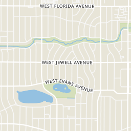
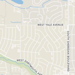
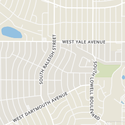
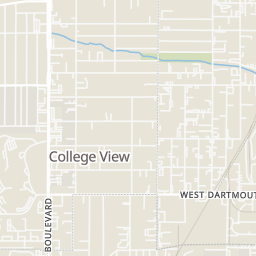
Within 2 miles of this home: 40+ restaurants and cafés, 7 grocery stores, 31 parks and green spaces, and 32+ transit stops.
Place data from OpenStreetMap.
Torres Mexican Food
Mexican restaurant · South Federal Boulevard
McDonald's
South Federal Boulevard
Church's Chicken
South Federal Boulevard
Puerto Nayarit Restaurant
West Jewell Avenue
Playa Azul
Mexican restaurant
Pho 95
Vietnamese restaurant
San Antonio Fresh Mexican Bakery
South Federal Boulevard
Burger King
South Federal Boulevard
Save-A-Lot
Lowe's Mercado
South Federal Boulevard
King Soopers
Walmart Supercenter
West Evans Avenue
Bên Thành Asian Market
Little Saigon Supermarket
South Federal Boulevard
Great Wall Supermarket
West Alameda Avenue
Irving & Java Park
Sanderson Gulch Park & Trail
Sanderson Gulch Park
Athmar Park
Garfield Lake Park
Harvey Park Lake
Garfield Lake
Harvey Park
Federal & Evans Transfer Station
South Sheridan Boulevard & South Zenobia Way
South Sheridan Boulevard & West Mexico Avenue
South Sheridan Boulevard & West Jewell Avenue
South Sheridan Boulevard & West Florida Avenue
South Sheridan Boulevard & West Louisiana Avenue
West Evans Avenue & South Sheridan Boulevard
Morrison Road & West Kentucky Avenue