New50
$830,000
4 bd · 4 ba · 3,280 sqft
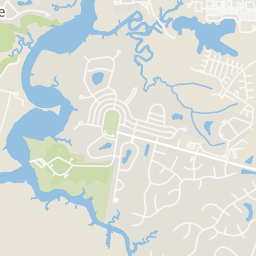
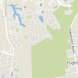
3119 Summerhouse Drive, Suffolk, VA

Est. $5,848/mo$617/sqft · 70 days on Realty
3
Beds
2
Baths
1,459
Sqft
1952
Built
1.52 acres located in quickly growing Suffolk, this property is valued in the land for possible commercial rezoning. Buyers will be responsible for rezoning if sought to fill the commercial potential. Property to be sold as is.
Listing agent
Not provided
Courtesy of The Real Estate Group
(757) 944-0121

Real Estate Information Network (REIN) · Listing 10650726
$180,000
Estimated monthly payment
$5,848/mo
Loan amount $720,000. Estimate only — your actual rate and payment depend on credit, location, and lender.
2025 roll
This content last refreshed on 2026-11-02 03:44:48 UTC. Some properties which appear for sale on this web site may subsequently have sold or may no longer be available.
COVA Home Realty
Real Estate Information Network (REIN)School ratings (A+ to F) from HJN community data.
Creekside Elementary School
PK-5 · Regular · Suffolk City Public Schools
764 students · 16.3:1 student–teacher
John Yeates Middle School
6-8 · Regular · Suffolk City Public Schools
509 students · 10.0:1 student–teacher
Florence Bowser Elementary School
PK-5 · Regular · Suffolk City Public Schools
926 students · 21.1:1 student–teacher
Col. Fred Cherry Middle School
6-8 · Regular · Suffolk City Public Schools
736 students · 11.7:1 student–teacher
Aldersgate New Creation United Methodist Church Kinder Preparatory
PK-1 · Early Childhood Program/Child Care Center
34 students · 7.1:1 student–teacher
Western Branch High School
9-12 · Regular · Chesapeake City Public Schools
2,138 students · 14.5:1 student–teacher
Northern Shores Elementary School
PK-5 · Regular · Suffolk City Public Schools
798 students · 19.5:1 student–teacher
Western Branch Middle School
6-8 · Regular · Chesapeake City Public Schools
855 students · 12.6:1 student–teacher
Rings at ½ mile and 1 mile. Basemap © OpenMapTiles © OpenStreetMap contributors.
Open the Suffolk camera map3 license-plate readers mapped within 1 mile of this home, one of them identified as a Flock Safety device. None within ½ mile. Nearest: 0.7 mi southeast. Operator named in the data: Suffolk Police Department.
| Device type | Within ½ mi | Within 1 mi |
|---|---|---|
| License-plate readers | 0 | 3 |
| of which Flock Safety | 0 | 1 |
Community-reported via OpenStreetMap; may be incomplete. Data as of . © OpenStreetMap contributors (ODbL)
License-plate readers (ALPR) are fixed cameras that photograph passing vehicles and read their plates. Records are typically shared with the agency or association that operates the camera.
Flock Safety is a company whose plate-reader cameras are used by police departments, cities, HOAs and businesses. Its devices are usually solar-powered and pole-mounted.
Within 2 miles of this home: 38+ restaurants and cafés, 5 grocery stores, 6 parks and green spaces, and 2 transit stops.
Place data from OpenStreetMap.
Souper Pho & Banh Mi
Vietnamese restaurant · Bridge Road
Starbucks
Bridge Road
Bojangles
Bridge Road
La Parilla
Mexican restaurant
Pizza Hut Express
Bridge Road
Thai Erwan
Thai restaurant
Japanese Steakhouse
Japanese restaurant
Peking House
Chinese restaurant
Harris Teeter
Shoulders Hill Road
Farmers Market at Bridgeport
Bennett's Creek Farm Market
Bridge Road
Food Lion
Bridge Road
Lidl
Community Drive
Harbour Breeze Estates Playground
Harbour Breeze Estates Playground 2
Harbour Breeze Fishing Lake
Bennett's Creek Park
Soundings Sanctuary Park
Pughsville Park
Remington Park
Bullock Park