4
$429,900
4 bd · 3 ba · 1,304 sqft
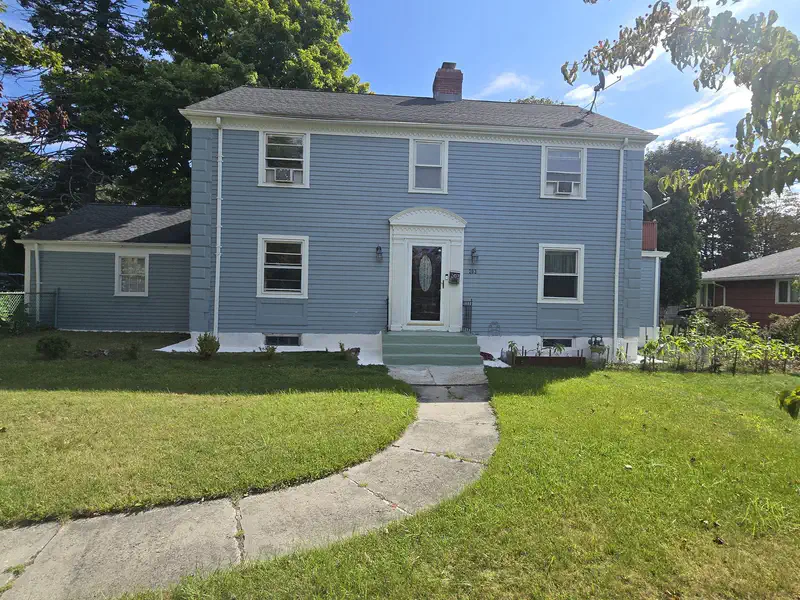
10 Pershing St, Worcester, MA
Kobina Aikins · Aikins Properties


No listing photos
4
Beds
1.5
Baths
1,825
Sqft
1920
Year built
Range $578,589 – $617,445 · as of August 30, 2026
ATTOM automated valuation model · 55 published estimates over 6.7 years · shaded band is the model's own published low-to-high range
Highest reading $598,017 in August 2026; lowest $297,283 in January 2020. The vertical scale starts at the series' own low, not at zero — it is drawn to show movement, not absolute size.
$119,603
Estimated monthly payment
$3,906/mo
Loan amount $478,414. Estimate only — your actual rate and payment depend on credit, location, and lender.
2026 roll
School ratings (A+ to F) from HJN community data.
Thorndyke Road
KG-6 · Regular · Worcester School District
319 students · 14.9:1 student–teacher
Burncoat Senior High School
9-12 · Regular · Worcester School District
1,073 students · 13.3:1 student–teacher
Burncoat Middle School
7-8 · Regular · Worcester School District
720 students · 13.6:1 student–teacher
Worcester Arts Magnet School
PK-6 · Regular · Worcester School District
372 students · 14.6:1 student–teacher
Abby Kelley Foster Charter Public School
KG-12 · Regular · Abby Kelley Foster Charter Public
1,426 students · 11.3:1 student–teacher
Wawecus Road School
KG-6 · Regular · Worcester School District
155 students · 11.6:1 student–teacher
Worcester Academic Center for Transition (Act)
1-6 · Special Education · Worcester School District
49 students · 3.9:1 student–teacher
Clark St Community
PK-6 · Regular · Worcester School District
278 students · 12.7:1 student–teacher
Some properties which appear for sale on this web site may subsequently have sold or may no longer be available.
 MLS Property Information Network (MLS PIN)
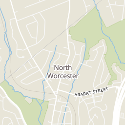
Rings at ½ mile and 1 mile. Basemap © OpenMapTiles © OpenStreetMap contributors.
Open the Worcester camera map5 devices mapped within 1 mile of this home: 4 license-plate readers and 1 CCTV camera; 4 of them identified as Flock Safety devices. None within ½ mile. Nearest: 0.8 mi southeast. Operators named in the data: Massachusetts Department of Transportation and Target.
| Device type | Within ½ mi | Within 1 mi |
|---|---|---|
| License-plate readers | 0 | 4 |
| of which Flock Safety | 0 | 4 |
| CCTV cameras | 0 | 1 |
Community-reported via OpenStreetMap; may be incomplete. Data as of . © OpenStreetMap contributors (ODbL)
License-plate readers (ALPR) are fixed cameras that photograph passing vehicles and read their plates. Records are typically shared with the agency or association that operates the camera.
Flock Safety is a company whose plate-reader cameras are used by police departments, cities, HOAs and businesses. Its devices are usually solar-powered and pole-mounted.
CCTV cameras are fixed video cameras that record a street, building or other area.
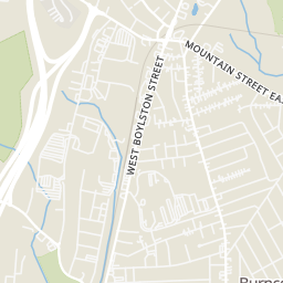
Within 2 miles of this home: 35 restaurants and cafés, 5 grocery stores, 28 parks and green spaces, and 7 transit stops.
Place data from OpenStreetMap.
Golden Bakery
Lincoln Street
Dunkin' Donuts
Lincoln Street
Ready Set Pizza
Wendy's
Lincoln Street
Denny's
American restaurant · Lincoln Street
Subway
West Boylston Street
Min's Wok
KFC
Lincoln Street
ALDI
Lincoln Street
Price Rite
Price Chopper
Pullman Street
Shaw's
West Boylston Street
Stop & Shop
West Boylston Street
Dodge Park
Greater Brook Valley Playground
Burncoat Park
Tacoma St Playground
Burncoat Park Pond
Wawecus Pond
Holland Rink Playground
Burncoat Park Ext
RT 30+31
RT 30+31- Greendale Mall
Target Lincoln Plaza
8/30/31 Grove St/Chadwick St
8/30/31 Gold Star Blvd/Chadwick St
30
30 The Trolley Stop