
 31
$600,000
3 bd · 3 ba · 1,280 sqft
10 Harrison Ave #4, Bourne, MA
Patrick Ryan · Ryan Realty Group LLC

No listing photos
3
Beds
2.5
Baths
1,652
Sqft
1820
Year built
Range $735,927 – $818,399 · as of October 21, 2026
ATTOM automated valuation model · 55 published estimates over 6.8 years · shaded band is the model's own published low-to-high range
Highest reading $828,252 in May 2025; lowest $450,280 in February 2020. The vertical scale starts at the series' own low, not at zero — it is drawn to show movement, not absolute size.
$155,433
Estimated monthly payment
$5,083/mo
Loan amount $621,730. Estimate only — your actual rate and payment depend on credit, location, and lender.
2025 roll
School ratings (A+ to F) from HJN community data.
Bourne High School
9-12 · Regular · Bourne School District
341 students · 9.5:1 student–teacher
Bourne Intermediate School
3-5 · Regular · Bourne School District
359 students · 10.3:1 student–teacher
Bourne Middle School
6-8 · Regular · Bourne School District
394 students · 8.9:1 student–teacher
Upper Cape Cod Vocational Technical
9-12 · Vocational Education · Upper Cape Cod Regional Vocational Technical
838 students · 9.8:1 student–teacher
Bournedale Elementary School
PK-2 · Regular · Bourne School District
425 students · 12.8:1 student–teacher
Christopher Donovan Day School- Inc
12-12 · Special Education
1 students · 0.5:1 student–teacher
Bridgeview Montessori School
PK-6 · Montessori
50 students · 3.5:1 student–teacher
Minot Forest Elementary
3-4 · Regular · Wareham School District
912 students · 12.8:1 student–teacher
Some properties which appear for sale on this web site may subsequently have sold or may no longer be available.
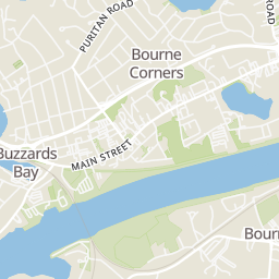
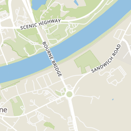
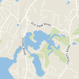
Rings at ½ mile and 1 mile. Basemap © OpenMapTiles © OpenStreetMap contributors.
6 devices mapped within 1 mile of this home: 4 license-plate readers and 2 CCTV cameras. None within ½ mile. Nearest: 0.7 mi east. Operator named in the data: Massachusetts State Police.
| Device type | Within ½ mi | Within 1 mi |
|---|---|---|
| License-plate readers | 0 | 4 |
| CCTV cameras | 0 | 2 |
Community-reported via OpenStreetMap; may be incomplete. Data as of . © OpenStreetMap contributors (ODbL)
License-plate readers (ALPR) are fixed cameras that photograph passing vehicles and read their plates. Records are typically shared with the agency or association that operates the camera.
CCTV cameras are fixed video cameras that record a street, building or other area.

 Cape Cod & Islands Association of REALTORSMLS Property Information Network (MLS PIN)
Within 2 miles of this home: 26 restaurants and cafés, 1 grocery store, 35+ parks and green spaces, and 4 transit stops.
Place data from OpenStreetMap.
Stomping Grounds Grille
Main Street
Betty Ann's Dairy Freeze
Main Street
Leo’s Breakfast
Main Street
Mezza Luna
Rod & Rail
Main Street
Dunkin
Bourne Rotary
Buzzards Bay House of Pizza
Main Street
Honey Dew
Main Street
Liquor 'n More
Clay Pond Road
Aptucxet Trading Post Mueseum
Aptucxet Road
The Cape Cod Military Museum
Keene Street
Keene St Parcel
Waterhouse Rd Parcel
Bourne Pond Fishway
Buzzards Bay Park
Perry Marsh
Buzzards Bay Splash Park
Bourne
Main Street Buzzards Bay
Buzzards Bay
Monument Beach


