Price Reduced40

$1,499,900
3 bd · 3 ba · 2,804 sqft
85 Canton Terrace, Westwood, MA
Theresa M. David · Gibson Sotheby's International Realty


No listing photos
4
Beds
3.5
Baths
1,834
Sqft
1975
Year built
Range $1,277,708 – $1,417,476 · as of August 30, 2026
ATTOM automated valuation model · 55 published estimates over 6.7 years · shaded band is the model's own published low-to-high range
Highest reading $1,585,454 in June 2025; lowest $817,163 in April 2020. The vertical scale starts at the series' own low, not at zero — it is drawn to show movement, not absolute size.
$269,518
Estimated monthly payment
$8,758/mo
Loan amount $1,078,074. Estimate only — your actual rate and payment depend on credit, location, and lender.
2025 roll
MLS Property Information Network (MLS PIN)Some properties which appear for sale on this web site may subsequently have sold or may no longer be available.
Price Reduced40$1,499,900
3 bd · 3 ba · 2,804 sqft
85 Canton Terrace, Westwood, MA
Theresa M. David · Gibson Sotheby's International Realty
 42
$1,149,000
4 bd · 3 ba · 2,240 sqft
81 Alder Rd, Westwood, MA
The Jowdy Group · RE/MAX Distinct Advantage
 Price Reduced23
$1,185,000
3 bd · 3 ba · 2,863 sqft
56 Country Ln, Westwood, MA
Gabby Cefalo · Coldwell Banker Realty - Wellesley
 42
$949,000
4 bd · 2 ba · 1,840 sqft
857 Gay St, Westwood, MA
Alina Wang Team · Coldwell Banker Realty - Lexington
 41
$1,299,900
4 bd · 3 ba · 2,572 sqft
129 Dover Road, Westwood, MA
Theresa M. David · Gibson Sotheby's International Realty
School ratings (A+ to F) from HJN community data.
Downey School
KG-5 · Regular · Westwood School District
271 students · 12.5:1 student–teacher
Beacon Scholastic Academy
3-12 · Regular
21 students · 4.6:1 student–teacher
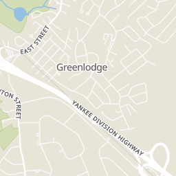
Greenlodge
1-5 · Regular · Dedham School District
320 students · 11.4:1 student–teacher
Xaverian Brothers High School
7-12 · Regular
955 students · 13.3:1 student–teacher
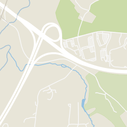
Rings at ½ mile and 1 mile. Basemap © OpenMapTiles © OpenStreetMap contributors.
Open the Westwood camera map3 devices mapped within 1 mile of this home: 2 license-plate readers and 1 CCTV camera; 2 of them identified as Flock Safety devices. None within ½ mile. Nearest: 0.6 mi southeast. Operator named in the data: Massachusetts Department of Transportation.
| Device type | Within ½ mi | Within 1 mi |
|---|---|---|
| License-plate readers | 0 | 2 |
| of which Flock Safety | 0 | 2 |
| CCTV cameras | 0 | 1 |
Community-reported via OpenStreetMap; may be incomplete. Data as of . © OpenStreetMap contributors (ODbL)
License-plate readers (ALPR) are fixed cameras that photograph passing vehicles and read their plates. Records are typically shared with the agency or association that operates the camera.
Flock Safety is a company whose plate-reader cameras are used by police departments, cities, HOAs and businesses. Its devices are usually solar-powered and pole-mounted.
CCTV cameras are fixed video cameras that record a street, building or other area.
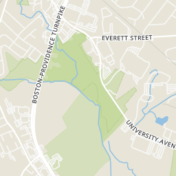
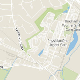
Within 2 miles of this home: 37+ restaurants and cafés, 4 grocery stores, 25 parks and green spaces, and 23+ transit stops.
Place data from OpenStreetMap.
Starbucks
University Avenue
Anthony's Coal Fired Pizza
University Avenue
Panda Express
Chinese restaurant · University Avenue
Birdies Hot Chicken
University Avenue
Not Your Average Joe's
University Avenue
Del Frisco's Grille
University Avenue
Panera Bread
University Avenue
Smashburger
University Avenue
Wegmans
University Avenue
Lambert's Rainbow Market
Providence Highway
Roche Bros
Washington Street
Whole Foods Market
Legacy Place
Blue Hill Vista
Gables Park
University Station Park
Currier Reservation
Currier/Anderson
O'Toole Conservation Area
Little Wigwam Pond
University Ave Conservation Land
Route 128
University Avenue
Dedham Corporate Center
Dedham Corporate Center (Inbound)
Dedham Corporate Center (Outbound)
Islington (Outbound)
Islington
Islington (Inbound)
Royall St @ Compushare Driveway