Price Reduced42
$429,900
3 bd · 2 ba · 2,486 sqft

No listing photos
2
Beds
1
Baths
1,190
Sqft
1950
Year built
Range $349,023 – $376,377 · as of October 21, 2026
ATTOM automated valuation model · 55 published estimates over 6.8 years · shaded band is the model's own published low-to-high range
Highest reading $398,390 in August 2024; lowest $215,061 in March 2020. The vertical scale starts at the series' own low, not at zero — it is drawn to show movement, not absolute size.
$72,540
Estimated monthly payment
$2,401/mo
Loan amount $290,160. Estimate only — your actual rate and payment depend on credit, location, and lender.
2026 roll
School ratings (A+ to F) from HJN community data.
Abner Gibbs Elementary School
KG-4 · Regular · Westfield School District
196 students · 10.8:1 student–teacher
Westfield Middle School
7-8 · Regular · Westfield School District
671 students · 11.7:1 student–teacher
Fort Meadow Early Childhood Center
PK-PK · Regular · Westfield School District
162 students · 20.1:1 student–teacher
Highland Elementary School
KG-4 · Regular · Westfield School District
305 students · 12.4:1 student–teacher
Westfield Technical Academy
9-12 · Vocational Education · Westfield School District
557 students · 9.5:1 student–teacher
St Mary's Parish School - Secondary School
9-12 · Regular
103 students · 9.1:1 student–teacher
St Marys Parish School
PK-8 · Regular
203 students · 8.8:1 student–teacher
Westfield River Elementary School
PK-4 · Regular · Westfield School District
Some properties which appear for sale on this web site may subsequently have sold or may no longer be available.
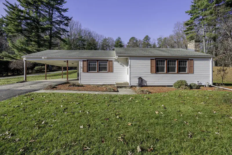
666 Montgomery Rd, Westfield, MA
Darcie Gasperini · Taylor Agency
 MLS Property Information Network (MLS PIN)
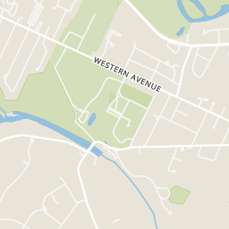
Rings at ½ mile and 1 mile. Basemap © OpenMapTiles © OpenStreetMap contributors.
Open the Westfield camera map1 license-plate reader mapped within 1 mile of this home, identified as a Flock Safety device. None within ½ mile. Nearest: 0.5 mi northwest. Operator named in the data: Westfield Police.
| Device type | Within ½ mi | Within 1 mi |
|---|---|---|
| License-plate readers | 0 | 1 |
| of which Flock Safety | 0 | 1 |
Community-reported via OpenStreetMap; may be incomplete. Data as of . © OpenStreetMap contributors (ODbL)
License-plate readers (ALPR) are fixed cameras that photograph passing vehicles and read their plates. Records are typically shared with the agency or association that operates the camera.
Flock Safety is a company whose plate-reader cameras are used by police departments, cities, HOAs and businesses. Its devices are usually solar-powered and pole-mounted.
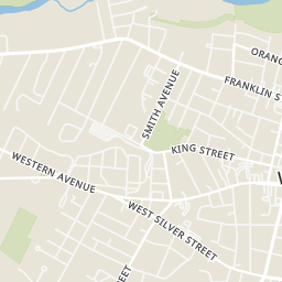
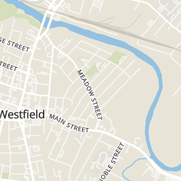
Within 2 miles of this home: 40+ restaurants and cafés, 5 grocery stores, 36+ parks and green spaces, and 32 transit stops.
Place data from OpenStreetMap.
Great Awakening Brewing
Mill Street
Skyline Beer Company
Southwick Road
The Tavern Restaurant
American restaurant · Broad Street
The Good Table
School Street
Circuit Coffee
Elm Street
Crave Cafe
Elm Street
Hangar Pub & Grill Westfield
School Street
Subway
Big Y
East Silver Street
Westfield Farmers' Market
Stop & Shop
Main Street
ALDI
Price Rite
Amelia's Garden
Elizabeth Parker Park
Water Line
Little River Flood Control
Providence Arboretum
General Shepard Park
Park Square
Holcomb Park
BROAD / WORONOCO
COURT / BATES
COURT / MILL
COURT / CHESTNUT
COURT / UNNAMED STREET
COURT / WASHINGTON
RAMP / COURT
SILVER / KASPER