New41

$569,000
4 bd · 3 ba · 2,301 sqft
51 Randall Street, Worcester, MA
Deanna Faucher · Lamacchia Realty, Inc.


No listing photos
4
Beds
1.5
Baths
1,313
Sqft
1947
Year built
Range $471,366 – $510,298 · as of October 21, 2026
ATTOM automated valuation model · 55 published estimates over 6.8 years · shaded band is the model's own published low-to-high range
Highest reading $542,800 in July 2025; lowest $258,954 in April 2020. The vertical scale starts at the series' own low, not at zero — it is drawn to show movement, not absolute size.
$98,166
Estimated monthly payment
$3,227/mo
Loan amount $392,666. Estimate only — your actual rate and payment depend on credit, location, and lender.
2026 roll
MLS Property Information Network (MLS PIN)Some properties which appear for sale on this web site may subsequently have sold or may no longer be available.
New41$569,000
4 bd · 3 ba · 2,301 sqft
51 Randall Street, Worcester, MA
Deanna Faucher · Lamacchia Realty, Inc.
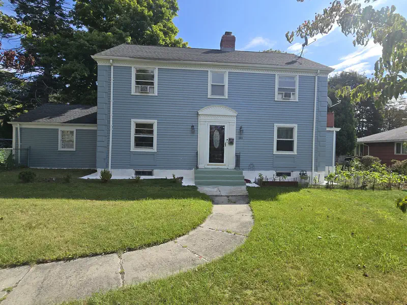 Price Reduced41
$529,900
3 bd · 4 ba · 2,394 sqft
203 Burncoat St, Worcester, MA
Julia Acquaah-Harrison · Weichert REALTORS®, Hope & Associates
 Price Reduced41
$499,900
4 bd · 2 ba · 1,937 sqft
21 Arbutus Road, Worcester, MA
Alisa Waskevich · Waskevich Realty Group
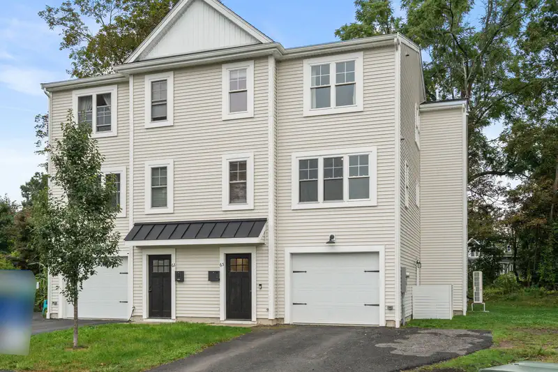 Price Reduced1
$559,900
3 bd · 3 ba · 2,138 sqft
65 Castine St., Worcester, MA
Catherine Kiernan · Coldwell Banker Realty - Worcester
 42
$480,000
3 bd · 1 ba · 1,200 sqft
26 Calumet Ave, Worcester, MA
Cynthia Sowa Forgit · Keller Williams Pinnacle Central
 Price Reduced30
$375,000
3 bd · 1 ba · 1,171 sqft
32 Tyson Rd, Worcester, MA
Judith Dow · Coldwell Banker Realty - Worcester
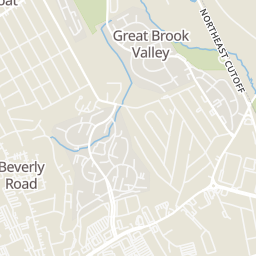
Rings at ½ mile and 1 mile. Basemap © OpenMapTiles © OpenStreetMap contributors.
Open the Worcester camera map1 CCTV camera mapped within 1 mile of this home. None within ½ mile. Nearest: 1.0 mi northwest. Operator named in the data: Massachusetts Department of Transportation.
| Device type | Within ½ mi | Within 1 mi |
|---|---|---|
| CCTV cameras | 0 | 1 |
Community-reported via OpenStreetMap; may be incomplete. Data as of . © OpenStreetMap contributors (ODbL)
CCTV cameras are fixed video cameras that record a street, building or other area.
School ratings (A+ to F) from HJN community data.
Burncoat Street
KG-6 · Regular · Worcester School District
223 students · 10.8:1 student–teacher
Norrback Avenue
PK-6 · Regular · Worcester School District
504 students · 11.8:1 student–teacher
Alhuda Academy
PK-8 · Regular
107 students · 5.1:1 student–teacher
Clark St Community
PK-6 · Regular · Worcester School District
278 students · 12.7:1 student–teacher
Within 2 miles of this home: 26 restaurants and cafés, 4 grocery stores, 20 parks and green spaces, and 2 transit stops.
Place data from OpenStreetMap.
McDonald's
West Boylston Street
Min's Wok
Subway
West Boylston Street
Honey Dew
Pinecroft Dairy and Restaurant
Steve's Pizza
West Boylston Street
NOLA Cajun Kitchen
West Boylston Street
Gerardo's Italian Bakery
Stop & Shop
West Boylston Street
Price Chopper
Pullman Street
ALDI
Lincoln Street
Afghan market
West Boylston Street
Burncoat St Playground
Tacoma St Playground
Kendrick Field
Bovenzi Conservation Area
Greater Brook Valley Playground
Roberto Clemente Playground
Manor Playground
Dodge Park
RT 30+31
RT 30+31- Greendale Mall