New38

$589,900
5 bd · 3 ba · 2,700 sqft
6 Harrington Way, Worcester, MA
Albert Surabian · Keller Williams Pinnacle Central


No listing photos
6
Beds
2
Baths
2,878
Sqft
1936
Year built
Range $479,500 – $621,100 · as of March 13, 2026
ATTOM automated valuation model · 51 published estimates over 6.2 years · shaded band is the model's own published low-to-high range
Highest reading $676,400 in December 2025; lowest $326,300 in April 2020. The vertical scale starts at the series' own low, not at zero — it is drawn to show movement, not absolute size.
$109,940
Estimated monthly payment
$3,600/mo
Loan amount $439,760. Estimate only — your actual rate and payment depend on credit, location, and lender.
2026 roll
School ratings (A+ to F) from HJN community data.
North High School
9-12 · Regular · Worcester School District
1,376 students · 14.4:1 student–teacher
Worcester Cultural Academy Charter Public School
KG-5 · Regular · Worcester Cultural Academy Charter Public School
194 students · 14.6:1 student–teacher
Lake View
KG-6 · Regular · Worcester School District
284 students · 14.5:1 student–teacher
Grafton Street
KG-6 · Regular · Worcester School District
386 students · 11.5:1 student–teacher
City View
PK-6 · Regular · Worcester School District
464 students · 12.1:1 student–teacher
Belmont Street Community
PK-6 · Regular · Worcester School District
615 students · 14.8:1 student–teacher
Worcester Technical High School
9-12 · Vocational Education · Worcester School District
1,442 students · 12.2:1 student–teacher
Worcester East Middle School
7-8 · Regular · Worcester School District
731 students · 14.3:1 student–teacher
MLS Property Information Network (MLS PIN)Some properties which appear for sale on this web site may subsequently have sold or may no longer be available.
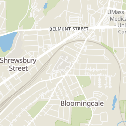
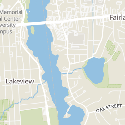
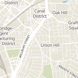
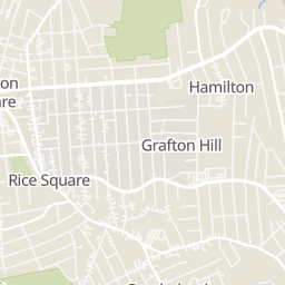
Within 2 miles of this home: 40+ restaurants and cafés, 9 grocery stores, 37+ parks and green spaces, and 11 transit stops.
Place data from OpenStreetMap.
Foley and Son Fish & Chips
Chioda's Trattoria
Italian restaurant
Redemption Rock Brewing Company
Sweet Worcester Bakery
Funky Murphy's
Shrewsbury Street
Dunkin
Shrewsbury Street
Cafe Manzi's
Shrewsbury Street
Vintage Grill and Bar
Shrewsbury Street
Price Chopper
Sunderland Road
Shaw's
Gibson's Dairy
Worcester Public Market
Trader Joe's
Boston Turnpike
Stop & Shop
Grafton Street
Whole Foods Market
Boston Turnpike
Uncle Sam Market
Pleasant Street
Holmes Field
Crow Hill & Fitzgerald Brook Conservation Restriction
Harrington Field
Upper Pond
Nature Explore
Lower Pond
Shale St Playground
Cristoforo Colombo Park
Belmont Street + McRae Court
Belmont Street + Prentice Street
Belmont Street + Oden Avenue
Worcester
Worcester - Commuter Rail and Amtrak
MART: Worcester Shuttle
PVTA B79 - Union Station
Worcester Bus Station
Rings at ½ mile and 1 mile. Basemap © OpenMapTiles © OpenStreetMap contributors.
Open the Worcester camera map1 license-plate reader mapped within 1 mile of this home. None within ½ mile. Nearest: 0.8 mi northeast. Operator named in the data: UMass Police.
| Device type | Within ½ mi | Within 1 mi |
|---|---|---|
| License-plate readers | 0 | 1 |
Community-reported via OpenStreetMap; may be incomplete. Data as of . © OpenStreetMap contributors (ODbL)
License-plate readers (ALPR) are fixed cameras that photograph passing vehicles and read their plates. Records are typically shared with the agency or association that operates the camera.