40

$1,000,000
7 bd · 4 ba · 5,360 sqft
26 Lawrence Ave, Boston, MA
Robert Koritz · Robert Koritz Real Estate


No listing photos
6
Beds
3.5
Baths
3,414
Sqft
1920
Year built
Range $678,300 – $924,900 · as of March 13, 2026
ATTOM automated valuation model · 51 published estimates over 6.2 years · shaded band is the model's own published low-to-high range
Highest reading $949,800 in August 2025; lowest $512,600 in April 2020. The vertical scale starts at the series' own low, not at zero — it is drawn to show movement, not absolute size.
$156,980
Estimated monthly payment
$5,150/mo
Loan amount $627,920. Estimate only — your actual rate and payment depend on credit, location, and lender.
2025 roll
MLS Property Information Network (MLS PIN)Some properties which appear for sale on this web site may subsequently have sold or may no longer be available.
School ratings (A+ to F) from HJN community data.
David A. Ellis Elementary School
PK-5 · Regular · Boston School District
391 students · 12.5:1 student–teacher
Higginson K-2 School
PK-2 · Regular · Boston School District
154 students · 8.8:1 student–teacher
Rafael Hernandez K-8 School
PK-8 · Regular · Boston School District
372 students · 13.8:1 student–teacher
William Monroe Trotter K-8 School
PK-8 · Regular · Boston School District
352 students · 10.7:1 student–teacher
Greater Egleston Community High School
9-12 · Regular · Boston School District
78 students · 8.8:1 student–teacher
Boston Latin Acadeny
7-12 · Regular · Boston School District
1,693 students · 17.9:1 student–teacher
Ellis Mendell Elementary School
PK-5 · Regular · Boston School District
309 students · 10.5:1 student–teacher
Bridge Boston Charter School
PK-8 · Regular · Bridge Boston Charter School
329 students · 10.8:1 student–teacher
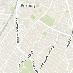
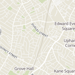
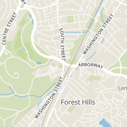
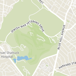
Rings at ½ mile and 1 mile. Basemap © OpenMapTiles © OpenStreetMap contributors.
Open the Boston camera map9 devices mapped within ½ mile of this home: 1 license-plate reader and 8 CCTV cameras; one of them identified as a Flock Safety device. Nearest: 0.2 mi west. Operator named in the data: Boston Police.
| Device type | Within ½ mi | Within 1 mi |
|---|---|---|
| License-plate readers | 1 | 2 |
| of which Flock Safety | 1 | 2 |
| CCTV cameras | 8 | 42 |
Community-reported via OpenStreetMap; may be incomplete. Data as of . © OpenStreetMap contributors (ODbL)
License-plate readers (ALPR) are fixed cameras that photograph passing vehicles and read their plates. Records are typically shared with the agency or association that operates the camera.
Flock Safety is a company whose plate-reader cameras are used by police departments, cities, HOAs and businesses. Its devices are usually solar-powered and pole-mounted.
CCTV cameras are fixed video cameras that record a street, building or other area.
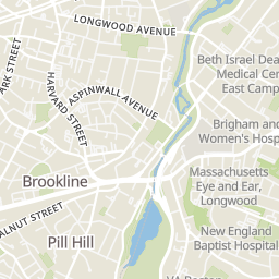
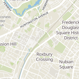
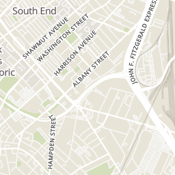
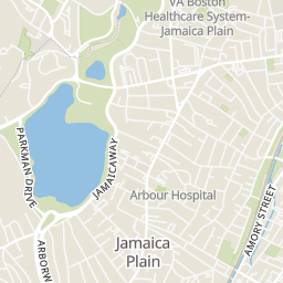
Within 2 miles of this home: 38+ restaurants and cafés, 11 grocery stores, 33+ parks and green spaces, and 24+ transit stops.
Place data from OpenStreetMap.
McDonald's
Washington Street
Star Fish
Drawdown Brewing
Washington Street
Happy Lemon
Washington Street
Sam Adams Boston Brewery
Germania Street
Chilacates
Mexican restaurant · Amory Street
Ula Cafe
Amory Street
The Haven
Amory Street
Stop & Shop
Blue Hill Avenue
Whole Foods Market
Centre Street
City Feed and Supply
Centre Street
Jamaica Plain Farmer's Market
Daily Table
Happy Market & Spirits
South Street
Tropical Foods
Melnea Cass Boulevard
Dorchester Food Co-op
Bowdoin Street
Crawford St Playground
Horatio Harris Park
Egleston Square Peace Garden
Laviscount Park
Tiffany Moore Tot Lot
Egleston Community Orchard
Washington/Malcolm X Park
Thorton St #134
Columbus Ave @ Walnut Ave
Seaver St @ Harold St
Seaver St opp Harold St
Humboldt Ave @ Crawford St
Humboldt Ave @ Homestead St
Columbus Ave @ Weld Ave
Humboldt Ave @ Waumbeck St
Columbus Ave opp Weld Ave