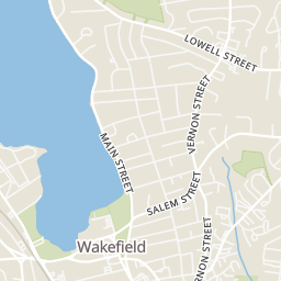
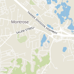
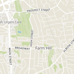
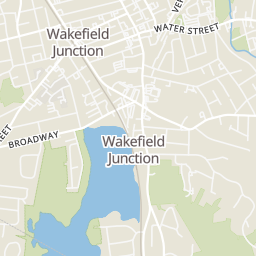
42

$689,900
3 bd · 2 ba · 1,530 sqft
20 Elmcrest Rd, Wakefield, MA
Gerald Barrett · Barrett, Chris. J., REALTORS®


No listing photos
3
Beds
2.5
Baths
2,093
Sqft
1955
Year built
Range $923,361 – $1,025,983 · as of August 30, 2026
ATTOM automated valuation model · 54 published estimates over 6.7 years · shaded band is the model's own published low-to-high range
Highest reading $1,155,321 in July 2025; lowest $567,924 in April 2020. The vertical scale starts at the series' own low, not at zero — it is drawn to show movement, not absolute size.
$194,934
Estimated monthly payment
$6,324/mo
Loan amount $779,738. Estimate only — your actual rate and payment depend on credit, location, and lender.
2025 roll
MLS Property Information Network (MLS PIN)Some properties which appear for sale on this web site may subsequently have sold or may no longer be available.
42$689,900
3 bd · 2 ba · 1,530 sqft
20 Elmcrest Rd, Wakefield, MA
Gerald Barrett · Barrett, Chris. J., REALTORS®
 37
$869,900
4 bd · 2 ba · 2,076 sqft
28 Plymouth Road, Wakefield, MA
The Dovetail Group · eXp Realty LLC - Corporate Office
 42
$1,100,000
4 bd · 4 ba · 2,580 sqft
172 Montrose Ave, Wakefield, MA
MG Group · Century 21 North East
 38
$738,000
2 bd · 3 ba · 1,302 sqft
410 Salem St #1501, Wakefield, MA
The Synergy Group · The Synergy Group
 New19
$699,900
3 bd · 1 ba · 2,028 sqft
16 Pine St, Wakefield, MA
Christopher Barrett · Barrett, Chris. J., REALTORS®
 35
$899,000
4 bd · 2 ba · 1,964 sqft
36 Renwick, Wakefield, MA
Penney Gould Team · Compass
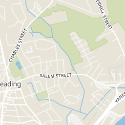
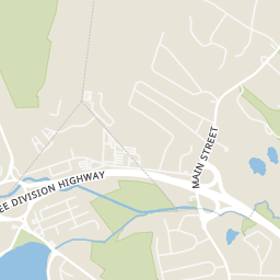
Rings at ½ mile and 1 mile. Basemap © OpenMapTiles © OpenStreetMap contributors.
Open the Wakefield camera map1 license-plate reader mapped within 1 mile of this home. None within ½ mile. Nearest: 0.6 mi west. Operator named in the data: Wakefield Police.
| Device type | Within ½ mi | Within 1 mi |
|---|---|---|
| License-plate readers | 0 | 1 |
Community-reported via OpenStreetMap; may be incomplete. Data as of . © OpenStreetMap contributors (ODbL)
License-plate readers (ALPR) are fixed cameras that photograph passing vehicles and read their plates. Records are typically shared with the agency or association that operates the camera.
Within 2 miles of this home: 40+ restaurants and cafés, 6 grocery stores, 35+ parks and green spaces, and 29+ transit stops.
Place data from OpenStreetMap.
Zuzu's Cafe
Main Street
Artichokes
Main Street
Sabatino's
Main Street
Piece O' Pizza
Main Street
Massimos
Italian restaurant · Centre Street
My Brother's Place Pizza
Main Street
Phuket
Thai restaurant · Princess Street
Subway
Main Street
The Farmland
Main Street
Shaw's
Water Street
Stop & Shop
Walkers Brook Drive
Market Basket
General Way
Professor's Market
Main Street
Whole Foods Market
Market Street
Lower Common
Upper Common
Hiker Monument and Rockery
Mill River Floodplain
New Salem Street
Veterans Field
Nasella Field
Hall Park
Lake Quannapowitt
Salem St @ Pleasant St
Pleasant St @ Salem St
Salem St @ Main St
Pleasant St @ Lawrence St
Pleasant St @ Wave Ave
Pleasant St @ Aborn Ave
Pleasant St @ Sweetser St
Main St @ Water St
School ratings (A+ to F) from HJN community data.
Galvin Middle School
5-8 · Regular · Wakefield School District
1,056 students · 11.0:1 student–teacher
Dolbeare Elementary School
KG-4 · Regular · Wakefield School District
443 students · 11.9:1 student–teacher
St Joseph School
PK-8 · Regular
189 students · 15.8:1 student–teacher
Walton Elementary School
KG-4 · Regular · Wakefield School District
218 students · 13.6:1 student–teacher
Woodville Elementary School
KG-4 · Regular · Wakefield School District
456 students · 12.1:1 student–teacher
Early Childhood Center at the Doyle School
PK-PK · Regular · Wakefield School District
128 students · 14.1:1 student–teacher
Wakefield Memorial High School
9-12 · Regular · Wakefield School District
854 students · 10.5:1 student–teacher
Odyssey Day School
KG-8 · Regular
53 students · 7.6:1 student–teacher