 New32

$349,900
3 bd · 3 ba · 1,979 sqft
5145 Hawkseye Trace, Warren, MI
Davonte Moore · KW Domain


No listing photos
—
Beds
1.5
Baths
1,334
Sqft
1966
Year built
Range $273,647 – $307,103 · as of August 30, 2026
ATTOM automated valuation model · 54 published estimates over 6.7 years · shaded band is the model's own published low-to-high range
Highest reading $305,961 in August 2024; lowest $201,586 in March 2020. The vertical scale starts at the series' own low, not at zero — it is drawn to show movement, not absolute size.
$58,075
Estimated monthly payment
$1,966/mo
Loan amount $232,300. Estimate only — your actual rate and payment depend on credit, location, and lender.
2026 roll
School ratings (A+ to F) from HJN community data.
Michigan Collegiate Middlehigh School
6-12 · Regular · Michigan Collegiate
560 students · 21.5:1 student–teacher
Green Acres Elementary School
KG-5 · Regular · Warren Consolidated Schools
496 students · 17.8:1 student–teacher
Pearl O. Lean Elementary School
KG-5 · Regular · Warren Consolidated Schools
619 students · 17.7:1 student–teacher
Crown of Life Lutheran School
PK-7 · Regular
22 students · 6.1:1 student–teacher
Angus Elementary School
KG-5 · Regular · Warren Consolidated Schools
Harwood Elementary School
KG-5 · Regular · Warren Consolidated Schools
498 students · 15.9:1 student–teacher
St Anne Catholic Grade School
KG-8 · Regular
299 students · 14.9:1 student–teacher
Immaculate Conception Ukranian Catholic Schools
PK-8 · Regular
117 students · 8.4:1 student–teacher
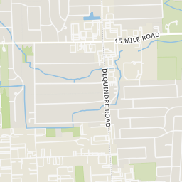
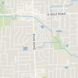
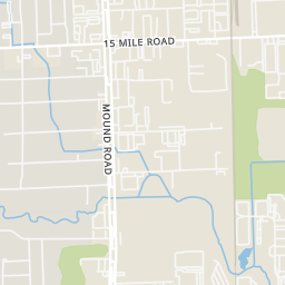
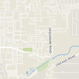
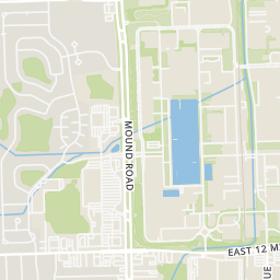
Rings at ½ mile and 1 mile. Basemap © OpenMapTiles © OpenStreetMap contributors.
Open the Warren camera map3 license-plate readers mapped within 1 mile of this home, all identified as Flock Safety devices. None within ½ mile. Nearest: 0.8 mi north. Operators named in the data: Sterling Heights Police Department and Oakland County Sheriff's Office.
| Device type | Within ½ mi | Within 1 mi |
|---|---|---|
| License-plate readers | 0 | 3 |
| of which Flock Safety | 0 | 3 |
Community-reported via OpenStreetMap; may be incomplete. Data as of . © OpenStreetMap contributors (ODbL)
License-plate readers (ALPR) are fixed cameras that photograph passing vehicles and read their plates. Records are typically shared with the agency or association that operates the camera.
Flock Safety is a company whose plate-reader cameras are used by police departments, cities, HOAs and businesses. Its devices are usually solar-powered and pole-mounted.
MiRealSource Realcomp
Some properties which appear for sale on this web site may subsequently have sold or may no longer be available.
New32$349,900
3 bd · 3 ba · 1,979 sqft
5145 Hawkseye Trace, Warren, MI
Davonte Moore · KW Domain
 New32
$349,900
3 bd · 3 ba · 1,979 sqft
5145 Hawkseye Trce, Warren, MI
Davonte Moore · KW Domain
 23
$339,900
3 bd · 2 ba · 1,493 sqft
31246 Carion Court, Warren, MI
Kimberly Garner-Lucas · 1st Realty Group LLC · on 3 MLSs
 30
$234,900
3 bd · 2 ba · 2,230 sqft
4663 Buchanan Street, Warren, MI
Anthony Djon · Anthony Djon Luxury Real Estate · on 2 MLSs
 29
$239,900
3 bd · 1 ba · 1,075 sqft
4701 Berwyn Drive, Warren, MI
Mike Antias · Brookstone, Realtors LLC · on 2 MLSs
 Price Reduced24
$289,000
3 bd · 2 ba · 2,947 sqft
28542 Grobbel Avenue, Warren, MI
Vincent Jarbo · Premier Realty Service LLC · on 2 MLSs
Within 2 miles of this home: 36+ restaurants and cafés, 10 grocery stores, 20 parks and green spaces, and 39+ transit stops.
Place data from OpenStreetMap.
Metro Bar and Grill
Ryan Road
Sweet Dreams
13 Mile Road
Subway
Little Caesars
McDonald's
East 14 Mile
Najeeb Grill Cafe
East 14 Mile Road
Taco Bell
East 14 Mile Road
Al Shoroq Restaurant & Banquet
Ryan Road
Meijer
Mound Road
ALDI
Mound Road
Max's International Market
15 Mile Road
Meat World Market
15 Mile Road
Kroger
Dequindre Road
China Town Market
John R Road
Tienda Mexicana
John R Road
Dream Market
15 Mile Road
Halmich Park
Warren Community Park
Dog Run A
Red Oaks Dog Park
Dog Run C
Small Dog Run
Beebe's Corner Park
Mound Road
Dog Run B
14 Mile / Ryan (EB)
14 Mile / Ryan (WB)
14 Mile / Norwood (EB)
14 Mile / Richard O (WB)
14 Mile / Chalfonte (EB)
14 Mile / Shrewsbury (WB)
14 Mile / Crestwell NS (WB)
Dequindre / Whitcomb (NB)