30

$615,000
4 bd · 3 ba · 2,656 sqft
552 Hereford Ln, Mickleton, NJ
Cristin M. Holloway · EXP Realty, LLC


No listing photos
—
Beds
—
Baths
2,253
Sqft
1994
Year built
Range $574,370 – $659,142 · as of August 30, 2026
ATTOM automated valuation model · 54 published estimates over 6.7 years · shaded band is the model's own published low-to-high range
Highest reading $664,300 in December 2025; lowest $374,109 in January 2020. The vertical scale starts at the series' own low, not at zero — it is drawn to show movement, not absolute size.
$123,351
Estimated monthly payment
$4,098/mo
Loan amount $493,405. Estimate only — your actual rate and payment depend on credit, location, and lender.
2026 roll
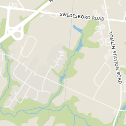
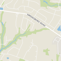
Within 2 miles of this home: 1 restaurant or café, 1 grocery store, and 1 park or green space.
Place data from OpenStreetMap.
Dunkin
Route 322
Rosie's Farm Market
Warrington Millpond
School ratings (A+ to F) from HJN community data.
Samuel Mickle School
3-6 · Regular · East Greenwich Township School District
712 students · 12.4:1 student–teacher
Jeffrey Clark School
PK-2 · Regular · East Greenwich Township School District
469 students · 11.4:1 student–teacher
Kingsway Regional Middle School
7-8 · Regular · Kingsway Regional School District
939 students · 12.2:1 student–teacher
Kingsway Regional High School
9-12 · Regular · Kingsway Regional School District
1,822 students · 13.9:1 student–teacher
Harrison Township Elementary School
PK-3 · Regular · Harrison Township School District
768 students · 12.6:1 student–teacher
Clearview Regional High School
9-12 · Regular · Clearview Regional School District
1,332 students · 15.2:1 student–teacher
Pleasant Valley School
4-6 · Regular · Harrison Township School District
578 students · 11.3:1 student–teacher
Clearview Regional Middle School
7-8 · Regular · Clearview Regional School District
712 students · 12.7:1 student–teacher
Bright MLSSome properties which appear for sale on this web site may subsequently have sold or may no longer be available.
Rings at ½ mile and 1 mile. Basemap © OpenMapTiles © OpenStreetMap contributors.
Open the Mickleton camera map1 license-plate reader mapped within 1 mile of this home. None within ½ mile. Nearest: 0.6 mi west.
| Device type | Within ½ mi | Within 1 mi |
|---|---|---|
| License-plate readers | 0 | 1 |
Community-reported via OpenStreetMap; may be incomplete. Data as of . © OpenStreetMap contributors (ODbL)
License-plate readers (ALPR) are fixed cameras that photograph passing vehicles and read their plates. Records are typically shared with the agency or association that operates the camera.