New11

$159,995
2 bd · 1 ba · 890 sqft
26323 Brettonwoods Street, Madison Heights, MI
on 2 MLSs

$171/sqft · 529 days on Realty
4,970
Building
1.05 acres
Lot
1943
Built
ZONED B1-LOC, POTENTIAL HIGH RISE BUILDING, STRIPT PLAZA, CHILD CARE, DOCTORS OFFICE, GREAT LOCATION ON JOHN R, SOUTH OF 13 MILE IN MADISON HEIGHTS, CLOSE TO I-75, 1.05 ACRE CORNER LOT WITH NEARLY 5000 SQ.FT. ON TWO LEVELS, VERY WELL MAINTAINED, NEWER FURNACE, RECENTLY PAINTED, FINISHED BASEMENT, MONEY MAKING PROPERTY, PARKING LOT REGULARLY RENTED AND BUILDING RENTING FOR RECREATIONAL ACTIVITIES. ALL SHOWINGS FROM 12 PM TO 8PM
Listing agent
Rajinder Singh
Courtesy of Century 21 Professionals Sterling Heights
(586) 202-8718

Realcomp · Listing 58050174381
2025 roll
RealcompMiRealSourceThis content last refreshed on 2026-10-23 11:47:42 UTC. Some properties which appear for sale on this web site may subsequently have sold or may no longer be available.
New11$159,995
2 bd · 1 ba · 890 sqft
26323 Brettonwoods Street, Madison Heights, MI
on 2 MLSs
 New47
$325,000
3 bd · 2 ba · 2,065 sqft
31608 Meadows Avenue, Madison Heights, MI
on 2 MLSs
 31
$230,000
3 bd · 1 ba · 1,484 sqft
1579 Dulong Avenue, Madison Heights, MI
Stephan Naamo · Community Choice Realty Inc · on 2 MLSs
 New20
$159,000
3 bd · 1 ba · 1,020 sqft
831 E Guthrie Avenue, Madison Heights, MI
 New3
$289,999
3 bd · 2 ba · 2,064 sqft
28793 Groveland Street, Madison Heights, MI
on 2 MLSs
 29
$174,900
2 bd · 1 ba · 1,010 sqft
28785 Delton Street, Madison Heights, MI
on 2 MLSs
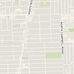
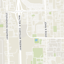
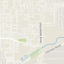
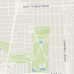
Within 2 miles of this home: 40+ restaurants and cafés, 9 grocery stores, 34 parks and green spaces, and 39+ transit stops.
Place data from OpenStreetMap.
Subway
John R Road
Hungry Howie's
Hen's Noodle
Asian restaurant · John R Road
Big Boy
Asya
John R Road
Natalie's Bakery
John R Road
Super Taco
Mexican restaurant
Savvy Sliders
John R Road
Tienda Mexicana
John R Road
Meijer
East 13 Mile Road
China Town Market
John R Road
Kim Nhung Superfood
John R Road
168 Asian Mart
John R Road
Hollywood Market
Campbell Road
Kroger
East 12 Mile Road
ABC Warehouse
Gravel Park
Palmer Street
Ambassador Park
East 13 Mile Road
Civic Center Park
Silverleaf Park
Edward Avenue
Red Oaks Nature Center
Hales Street
Red Oaks Youth Soccer Complex
Senior Center Park
John R Road
Dog Run B
John R / La Salle (NB)
John R / La Salle (SB)
John R / 13 Mile (SB)
John R / Woodside (NB)
John R / 13 Mile (NB)
John R / Woodside (SB)
John R / 13 Mile NS (SB)
John R / Irving (NB)
Rings at ½ mile and 1 mile. Basemap © OpenMapTiles © OpenStreetMap contributors.
Open the Madison Heights camera map12 license-plate readers mapped within 1 mile of this home, all identified as Flock Safety devices. None within ½ mile. Nearest: 0.6 mi south. Operators named in the data: Lowe's, Oakland County Sheriff's Office, Madison Heights Police Department, and 1 other.
| Device type | Within ½ mi | Within 1 mi |
|---|---|---|
| License-plate readers | 0 | 12 |
| of which Flock Safety | 0 | 12 |
Community-reported via OpenStreetMap; may be incomplete. Data as of . © OpenStreetMap contributors (ODbL)
License-plate readers (ALPR) are fixed cameras that photograph passing vehicles and read their plates. Records are typically shared with the agency or association that operates the camera.
Flock Safety is a company whose plate-reader cameras are used by police departments, cities, HOAs and businesses. Its devices are usually solar-powered and pole-mounted.