New26

$195,000
3 bd · 1 ba · 1,550 sqft
4324 Myron Ave, Wayne, MI
Viktoria Blair · National Realty Centers, Inc


No listing photos
—
Beds
—
Baths
2,322
Sqft
1953
Year built
2026 roll
School ratings (A+ to F) from HJN community data.
Franklin Middle School
6-8 · Regular · Wayne-Westland Community School District
619 students · 17.2:1 student–teacher
Wayne Memorial High School
9-12 · Regular · Wayne-Westland Community School District
1,257 students · 18.9:1 student–teacher
Waynewestland Innovative Academy
6-12 · Alternative/Other · Wayne-Westland Community School District
St John's Evangelical Lutheran School
PK-8 · Regular
47 students · 11.8:1 student–teacher
Taft-Galloway Elementary School
KG-5 · Regular · Wayne-Westland Community School District
412 students · 15.9:1 student–teacher
Adams Middle School
6-8 · Regular · Wayne-Westland Community School District
591 students · 18.0:1 student–teacher
Roosevelt-McGrath Elementary School
KG-5 · Regular · Wayne-Westland Community School District
454 students · 13.9:1 student–teacher
Romulus Elementary School
KG-5 · Regular · Romulus Community Schools
262 students · 16.1:1 student–teacher
 MiRealSourceRealcomp
Some properties which appear for sale on this web site may subsequently have sold or may no longer be available.
New26$195,000
3 bd · 1 ba · 1,550 sqft
4324 Myron Ave, Wayne, MI
Viktoria Blair · National Realty Centers, Inc
 1
$94,000
2 bd · 1 ba · 1,016 sqft
34502 Chestnut Street, Wayne, MI
on 2 MLSs
 Price Reduced39
$179,900
3 bd · 1 ba · 1,219 sqft
32400 Woodbrook Drive, Wayne, MI
on 2 MLSs
 22
$129,000
2 bd · 1 ba · 1,047 sqft
4533 Carnegie Street, Wayne, MI
on 2 MLSs
 Price Reduced25
$327,000
3 bd · 3 ba · 1,863 sqft
37582 Whitney Drive, Wayne, MI
Lauren Coats · Toman & Co LLC
 23
$139,900
2 bd · 1 ba · 900 sqft
4061 Winifred Street, Wayne, MI
Rings at ½ mile and 1 mile. Basemap © OpenMapTiles © OpenStreetMap contributors.
Open the Wayne camera map5 license-plate readers mapped within 1 mile of this home, all identified as Flock Safety devices. None within ½ mile. Nearest: 0.6 mi northeast. Operators named in the data: Westland Police Department and Wayne Police Department.
| Device type | Within ½ mi | Within 1 mi |
|---|---|---|
| License-plate readers | 0 | 5 |
| of which Flock Safety | 0 | 5 |
Community-reported via OpenStreetMap; may be incomplete. Data as of . © OpenStreetMap contributors (ODbL)
License-plate readers (ALPR) are fixed cameras that photograph passing vehicles and read their plates. Records are typically shared with the agency or association that operates the camera.
Flock Safety is a company whose plate-reader cameras are used by police departments, cities, HOAs and businesses. Its devices are usually solar-powered and pole-mounted.
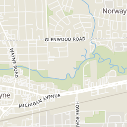
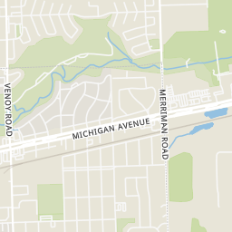
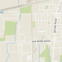
Within 2 miles of this home: 31 restaurants and cafés, 5 grocery stores, 25 parks and green spaces, and 40+ transit stops.
Place data from OpenStreetMap.
Little Caesars
Arby's
Michigan Avenue
Lee's Famous Recipe Chicken
L. George's Coney Island Restaurant
American restaurant
L. George's Coney Island
Michigan Avenue
Mike & Mona's U.S. 12 Bistro
Wendy's
Michigan Avenue
White Castle
Fresh Choice Food Center
East Michigan Avenue
Palace Super Market
South Venoy Road
Uncle Joe's Market
South Merriman Road
Kroger
Michigan Avenue
ALDI
South Wayne Road
Forest Park
Jaycee Park
Atwood Park
Anderson Ballfields
Avondale Park
Walz Quadraplex
Rotary Park II
Cayley Park East
Michigan / Josephine (WB)
Michigan / Howe (EB)
Michigan / 4th (EB)
Michigan / 4th (WB)
Michigan / Waynesboro (WB)
Michigan / Waynesboro (EB)
Michigan / 2nd NS (WB)
Michigan / 1st (EB)